Rain tiptoes into L.A. as fire weather continues to grip Northern California
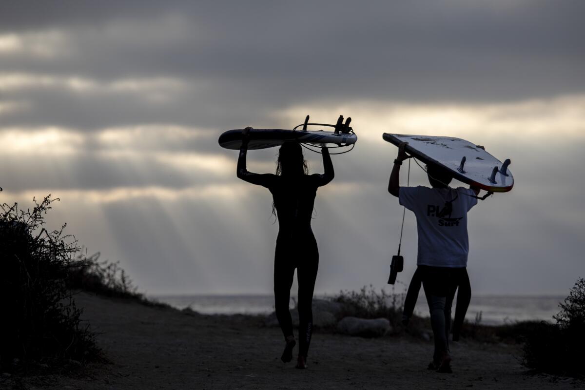
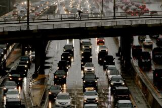
After months of blazing wildfires and record-setting heat, Angelenos awakened Thursday to something novel: a light drizzle.
The National Weather Service said an approaching low pressure system is behind the cool, cloudy conditions and that patchy drizzle will remain through the weekend.
There is a 20% to 30% chance of rain Saturday and Sunday, with cloudy skies and highs in the 60s, said David Sweet, a meteorologist with the National Weather Service in Oxnard.
“We haven’t really had a chance of rain in our forecast since last season,” Sweet said.
Dense fog and wet roadways are also in the forecast. Drivers commuting through the foothills and mountain highway corridors Thursday should use extra caution and allow extra time.
The best shot for any real rain will be on Sunday, when the air will be at its moistest, the NWS said.
But some residents have already taken to social media to express their joy.
Meanwhile, it’s an altogether different story in Northern California, where weather conducive to fire has prompted red flag warnings in multiple regions, despite overall cooling temperatures.
In the Bay Area, a red flag warning is in effect through 8 a.m. Friday, indicating dry, windy conditions with gusts up to 25 miles per hour from the Napa hills down to the Diablo range.
Officials said the dryness is concerning.
“History is not on our side as we are close to the anniversary date of last year’s Kincade fire and the Oakland Hills firestorm of 1991,” the National Weather Service warned.
In response to the dangerous conditions, a “public safety power shutoff” is already underway in the Sierra foothills and Bay Area — one of a string of similar shutoffs by Pacific Gas & Electric in the last several weeks.
About 37,000 customers will be affected by the outage, which PG&E said is necessary because of high winds, low humidity and dry vegetation that “together create high risk of catastrophic wildfires.”
Counties affected by the shutoff include parts of Alameda, Butte, Colusa, Contra Costa, Glenn, Humboldt, Lake, Napa, Plumas, Santa Clara, Shasta, Sonoma, Tehama, Trinity and Yolo, as well as the tribal communities of Grindstone Rancheria and the Pit River Tribe.
Dangerous weather is also expected farther north, where red flag warnings remain in effect in parts of Humboldt, Trinity and Del Norte counties through Friday morning.
Dry weather will “reign supreme through mid-next week” in northwestern California, the NWS said, “with warmer temperatures aloft and practically no chance for any significant rain.”
Southern Californians celebrating the rain shouldn’t get too comfortable, either. Sweet said a change is due early next week, with potentially dangerous fire conditions in the forecast.
“Coming up on Monday to Tuesday, we’ve got pretty moderate-to-strong — I would say maybe even strong — Santa Ana wind conditions expected, with very gusty winds,” he said.
More to Read
Start your day right
Sign up for Essential California for news, features and recommendations from the L.A. Times and beyond in your inbox six days a week.
You may occasionally receive promotional content from the Los Angeles Times.
