Powerful winds, high wildfire danger are forecast for Northern California
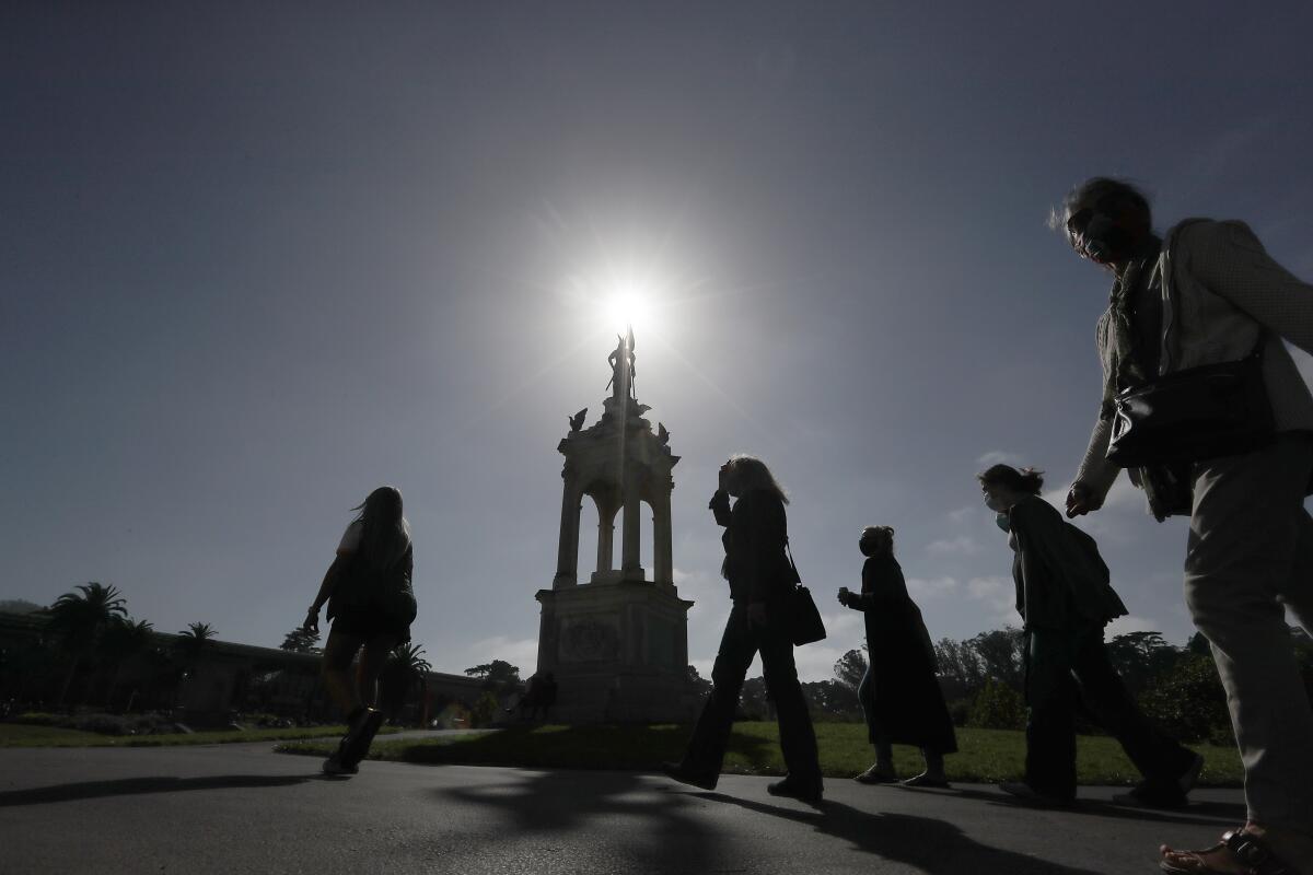
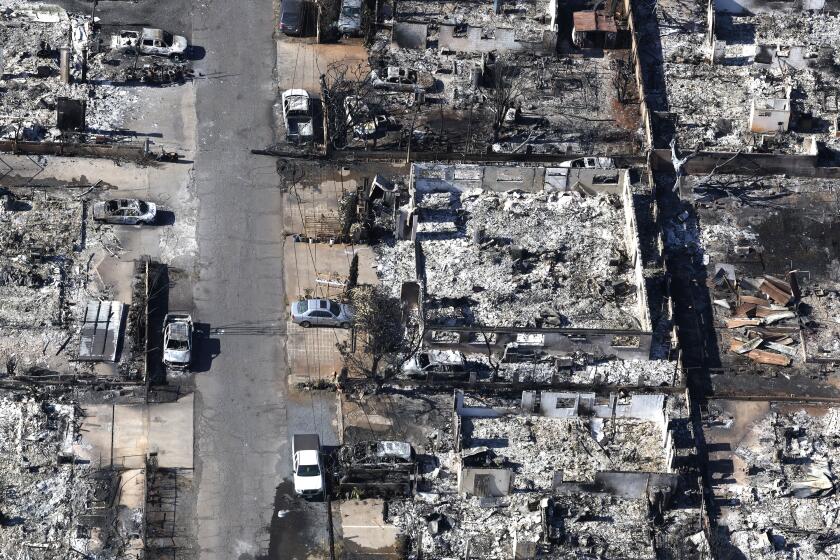
Extraordinary wildfire conditions are forecast for Northern California on Sunday, with the National Weather Service predicting powerful and dry Diablo winds — the kind that quickly spread the devastating wine country fires of 2017 and 2019.
The potentially dangerous winds — probably the strongest so far this year — will likely begin Sunday afternoon, peaking Sunday night and overnight into Monday. There will be no low clouds or fog in the San Francisco Bay Area, “so even the valleys will be bone dry,” forecasters with the weather Service said.
“In simple terms this event looks to be on par with the 2017 wine country fires and last year’s Kincade fire,” which occurred in October of last year and burned more than 77,000 acres, the weather service said. “This pattern shows strong signals to some memorable Sierra East Wind events where the winds howl down the corridors of Interstate 80 and [Highway] 50 pouring out across the Bay Area.”
Winds from the north and northeast are forecast for 25 to 35 mph, with gusts of up to 40 to 60 mph. Humidity levels could drop to as low as 5% on Sunday. “Any new fires that start will spread rapidly,” the weather service said. Residents should be prepared for utilities to shut off power in advance of the wind event to help prevent ignitions.
The National Weather Service said the first burst of winds will likely spread over the North Bay Sunday afternoon, with winds coming down from the Sacramento Valley, and then spreading throughout the Bay Area. A strong burst of winds is expected around sunset.
“Though the North Bay may take the brunt of the wind, much of the East Bay, [the San Francisco] Peninsula and Santa Cruz mountains will see high wind potential as well as the Highway 1 corridor Sunday night,” the weather service said.
Daniel Swain, climate scientist with UCLA and and the National Center for Atmospheric Research, wrote in a blog post that “vegetation is now at or near record dryness levels — much as it was prior to the North Bay firestorm in October 2017.”
“This is a very concerning forecast,” Swain wrote.
The strong winds — Northern California’s version of the Santa Ana winds — are being caused by an unusually strong cold low pressure system sinking over the Rocky Mountains this weekend, Swain wrote, causing a change in air pressure that will drive strong winds near the surface across Northern and Central California, Swain said.
“These strong winds will be funneled through the valleys along the Sierra Nevada western slopes, warming and accelerating as they do so,” Swain wrote. “In the Bay Area, a similar process will occur as air flows east to west over the coastal mountains and downward toward sea level nearer the coast.”
Swain urged people to do everything possible to avoid accidental fire ignitions.
“We may well get lucky and make it through this very strong wind event without any major new fires — that is my sincere hope,” Swain wrote. “But one thing is clear: California’s fire season is far from over, and dangerous fires will continue to be very possible under widespread significant precipitation occurs. Currently, that is still not on the horizon.”
Critical fire weather conditions are also expected across parts of Southern California from Monday afternoon through early Tuesday.
Fire risk will still be high in Southern California, although the winds there will be less anomalously strong compared with Northern California.
More to Read
Start your day right
Sign up for Essential California for news, features and recommendations from the L.A. Times and beyond in your inbox six days a week.
You may occasionally receive promotional content from the Los Angeles Times.
