Battered Central California braces for next storm beginning Monday
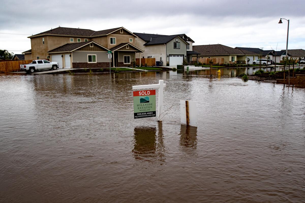
Flooding continued along several Central California rivers Saturday after this week’s devastating storm, but emergency response officials are increasingly optimistic that the worst may be over for now.
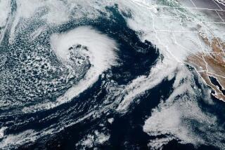
A new storm forecast for early next week was trending southward, away from the Central Valley and coastal areas that saw severe flooding in the 11th atmospheric river to hit the state this rainy season. A weaker and colder storm will bring snow and lighter, steady rain to Southern California.
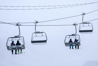
Up to 2 feet of snow is forecast for San Bernardino Mountain communities. Colder temperatures should bring the snow level below 4,000 feet, reducing the likelihood of flooding from rain-melted runoff.
Historic snowfall this month stranded dozens of people and damaged buildings in the San Bernardino Mountains and was considered a factor in 13 deaths.
“We’re not looking at flash flooding,” said Samantha Connolly, a meteorologist in the National Weather Service’s San Diego station, which covers San Bernardino County. “Minor flooding could occur on low-water crossings.”
Southern California coastal and valley communities can expect rainfall of “significant and long duration but light to moderate” intensity Sunday night through Wednesday, said meteorologist Rose Schoenfeld of the National Weather Service’s Los Angeles-Oxnard station.
The midday forecast Saturday called for 1 ½ to 2 ½ inches in the flatlands and up to 5 inches in the foothills and mountains, Schoenfeld said. Peak rainfall should be no more than half an inch per hour.
Snowfall is expected as low as 5,500 Monday, lowering to below 4,000 feet Wednesday with up to 3 feet falling on the higher peaks and 3 to 4 inches at the Grapevine.
The southward shift is taking pressure off the central part of the state, where flooding in recent storms caused severe damage and upended thousands of lives.
In the southern San Joaquin Valley, the raging Tule River washed out homes in the foothill community of Springville.
A levee failure on the Pajaro River in Monterey County triggered flooding and prompted hundreds of evacuations. Authorities conducted 60 rescues.
“It looks like we’ll get a break Monday,” meteorologist Cory Mueller said in the National Weather Service’s Sacramento station. “We’re not expecting major issues with flooding. Mountain travel issues will be our biggest impact. Winter driving conditions can be expected for long stretches of highways in the mountains.”
Minor flooding occurred Saturday on several northern rivers and was tapering off in most cases.
The National Weather Services issued a warning Saturday that the Merced River had topped its banks at Stevinson, about 20 miles west of Merced, reaching a maintenance building in a city park. The river was expected to continue rising through Sunday evening, exceeding the river’s previous crest by more than a foot.
The Salinas River was reported to be receding Saturday after flooding agricultural land near Spreckels, just south of Salinas. The river was expected to fall below flood level by Saturday afternoon.
Flooding of the San Joaquin River near Vernalis, southeast of Tracy, was expected to continue Saturday but had not reached the historic level set in 1986.
“We can still expect rain with this upcoming system,” said Sarah McCorkle, meteorologist with the National Weather Service station in Monterey. “We have rain coming through tonight, a quick-moving cold front.”
But, she said, “That is looking to not impact Monterey as much. We’ve seen rain totals go down.”
More to Read
Start your day right
Sign up for Essential California for news, features and recommendations from the L.A. Times and beyond in your inbox six days a week.
You may occasionally receive promotional content from the Los Angeles Times.

