State releases new details on possible bullet train routes

- Share via
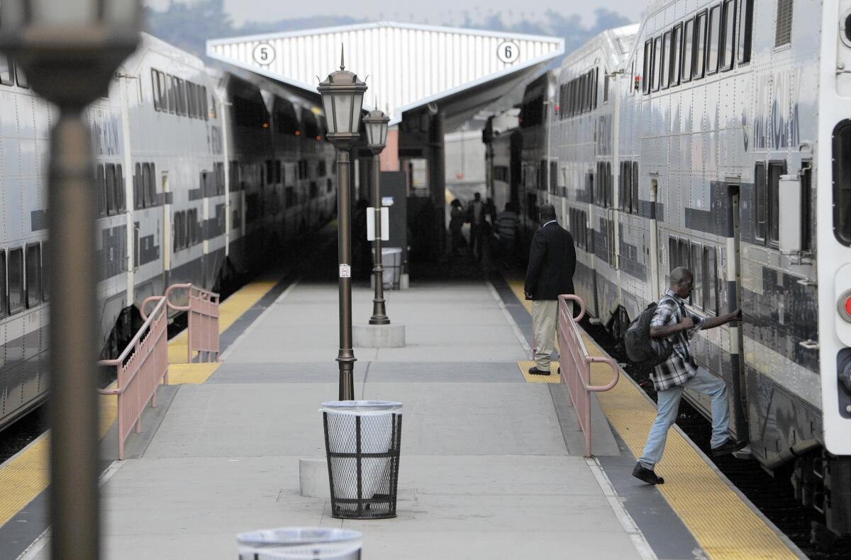
The California rail authority released four voluminous reports Friday on proposed alternatives for bullet train routes from Bakersfield to Anaheim — providing new details on how the train would traverse the Southern California mountains, cut through downtown Los Angeles, enter Union Station and reach Orange County.
The roughly 164 miles of track from the Central Valley to Anaheim will be the most technically complex, environmentally sensitive and financially taxing part of the $64-billion project to connect San Francisco to Southern California by 2029.
Among the key disclosures in the reports was a plan to enter Union Station with surface tracks, abandoning an option to arrive at the rail hub on a viaduct with an elevated platform. The state also revealed that it was considering sharing tracks with the Metrolink commuter rail service on a portion of the 12-mile stretch from Burbank to Los Angeles — which could affect the bullet train system’s capacity and speed.
The documents also deal with the impacts to potentially thousands of homes, hundreds of businesses and dozens of churches — as well as parks, wind farms, cement factories, hospitals, wildlife and archaeological resources along the proposed routes.
The four analyses constitute an intermediate step; still to come is the release of a draft environmental impact report that would identify the preferred routes. The rail authority is trying to get its environmental reports approved by the end of next year.
The general path for four sections of rail in Southern California has been well defined — taking the bullet train from Bakersfield up a 4,000-foot incline to Tehachapi and then through the Mojave Desert to a station in Palmdale. From there it would descend through the San Gabriel Mountains in long tunnels to a station at the Burbank airport. It would make its way along an existing railroad right of way to Union Station and then travel along another rail corridor to Anaheim’s new transportation hub.
See more of our top stories on Facebook >>
But the reports released Friday, known as supplemental alternatives analyses, laid out the tremendously different effects associated with the still-to-be-decided route options.
For example, each of the three possible paths from Palmdale to Burbank through the rugged San Gabriels would require up to 24 miles of tunnels as deep as 2,000 feet below the surface, one report says. The tunnels would be about four miles longer than earlier indicated.
One of the routes would require a single tunnel of nearly 17 miles that would cut through geologically complex shattered rock and fault zones. Another would displace as many 918 homes, while yet another alternative would displace 87 homes. But the vibration and noise, the report said, would affect many more.
The Burbank-to-Los Angeles section has two possible options, both using an existing Metrolink right of way.
One includes a “flyover,” or elevated path, near Glendale Boulevard and modifications to a number of existing rail bridges. Approaching downtown, Union Pacific and Amtrak would operate on one side of the Los Angeles River while bullet trains and Metrolink trains would operate on the other.
The route into Union Station would take it next to — or slightly into — Taylor Yard, where the city is planning a future park. Rail authority spokeswoman Lisa Marie Alley said the decision to approach Union Station at grade was made in conjunction with L.A. transportation officials and would have fewer impacts.
Planning for the Tehachapi Mountain crossing long has been problematic because of the steep grade out of Bakersfield.
After years of study, the rail authority still is considering eight alternatives for that segment.
The report noted that “the Bakersfield to Palmdale section includes a variety of constraints that pose significant technical and environmental challenges, including seismic faults, steep grades through the Tehachapi Mountains and flood plains.” The route could require as many as 59 grade separations for highways.
The rail authority has made progress, however, on reducing the tunneling needed and finding routes with less severe grades, Alley said.
Among the eight alternatives, there is a maximum of 6.3 miles of tunnels, compared with the prospect of 16 miles in past reports. One route has a grade of 2.8%, where previously they were as steep as 3.5% and exceeded design standards.
The report on the Los Angeles-to-Anaheim section appears to confirm that the rail authority will have some type of electrified line and identifies two possible stations along the route: one in Norwalk and another in Fullerton.
One option for that segment of the route would have six tracks for passenger and freight trains. A second would have five. Both include about 12 miles of aerial structures from Vernon through Commerce and then through Santa Fe Springs. A nearly mile-long tunnel would be dug under Fullerton.
That stretch would come at some collateral cost. According to the analysis, 122 to 342 homes and 904 to 1,239 businesses would be “directly impacted” — and presumably be taken by the state.
Twitter: @RVartabedian
ALSO
Higher levels of lead found in blood of children near Exide plant in Vernon
SpaceX rocket achieves sea landing, setting up Elon Musk’s firm to dominate
Rangers remove 60 plywood boards used to trap snakes in Santa Monica Mountains
More to Read
Sign up for Essential California
The most important California stories and recommendations in your inbox every morning.
You may occasionally receive promotional content from the Los Angeles Times.


