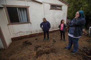
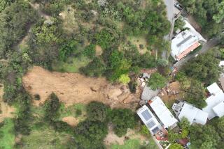
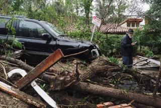
Surveying the devastation in Montecito from the air
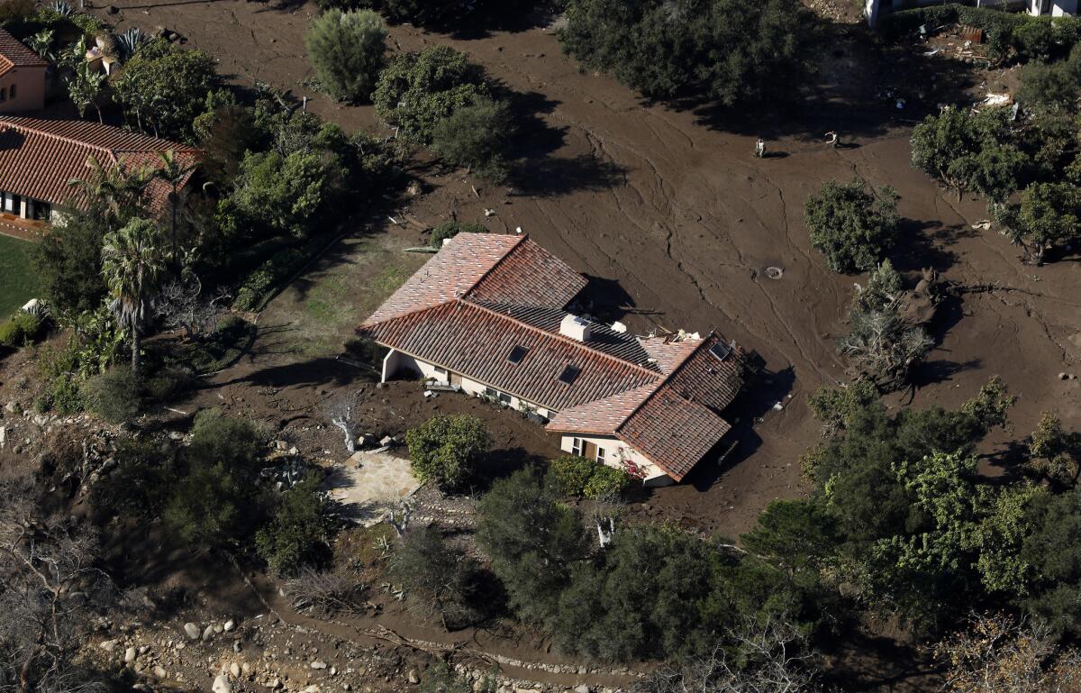
As the pilots carefully navigated the Black Hawk helicopter over areas destroyed by Tuesday’s mudslides, Lt. Erik Raney, who runs the air support of Santa Barbara County, pointed down towards rows of multimillion-dollar homes that had been almost completely submerged in mud.
He glanced at Hector Ponce, an aircraft mechanic with Santa Ynez, who sat across from him and mouthed: “That’s Romero Canyon Road.”
It was late Wednesday afternoon, the day after mudslides destroyed 100 homes and killed at least 17 people.
The day before, the California National Guard had been rescuing stranded people by air.
“I picked up 39 people from the Birnam Wood Golf Club,” National Guard Chief Warrant Officer Sean Quillin said earlier Wednesday.
“It was pretty nasty. Kids and grownups were crying and animals were scared.”
With the help of the California National Guard, Raney, Ponce and Santa Barbara County Public Works Water Resources Deputy Director Tom Fayram boarded the aircraft with a mission: assess the damage.
A gust of wind swayed the helicopter back and forth. Raney grabbed the empty seat on his left, stuck his head out of the aircraft and looked down to get a closer look.
Below was a house submerged in mud — all that was visible were the red tiles on its roof. White smoke from houses that had burned rose in the air.
Noticeably absent along some streets submerged in mud were fire trucks and maintenance crews, which have been unable to reach the area on the ground.
The helicopter headed east towards the fire-scorched Santa Ynez Mountains.
For many residents, the devastation of Tuesday’s mudslide came as a shock. But a glimpse of the large swaths of fire-scarred brown land that sits atop those steep hills shows the dangers the community — which is squeezed between those mountains and the Pacific Ocean — faced.
From the air, the debris basin near Romero Canyon appeared to be nearly wiped away. Not far away, the debris basin near Santa Monica Creek looked full.
As the helicopter began to head back to Santa Barbara Municipal Airport, it flew above the 101 Freeway, revealing the enormous amount of work that remains to be done in order to clear it.
Near the Olive Mill road overpass, the highway was submerged in water. Chunks of wood sit atop the brown mud.
The aerial view helped the city officials better understand just how violent the massive mudslide had been but also how things could have turned out worse.
“This was an extremely violent downward movement of mud. If it weren’t for the debris basin near Santa Monica Creek, we would have seen what happened in Montecito happen in Carpinteria,” Fayram said.
“We have a lot of work ahead of us.”
More to Read
Start your day right
Sign up for Essential California for news, features and recommendations from the L.A. Times and beyond in your inbox six days a week.
You may occasionally receive promotional content from the Los Angeles Times.
