L.A. weather shifts as gray skies make way for a spike in temperatures
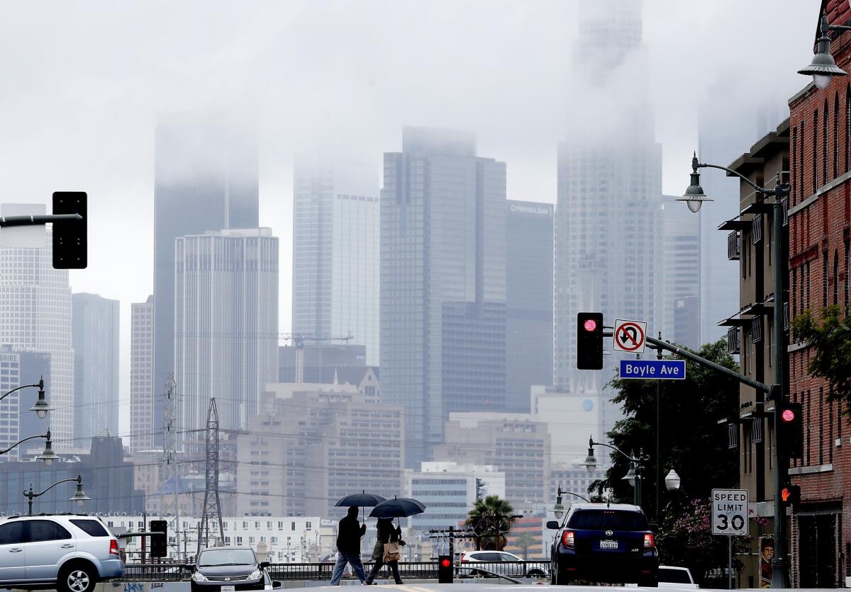
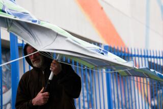
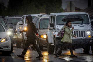
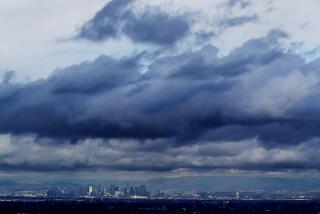
The ominous gray clouds hovering above Los Angeles on Tuesday aren’t likely to produce much more than the occasional sprinkle for the region before summer-like temperatures return later in the week.
The dash of moisture, which forecasters say will be mostly focused on the northern slopes of Ventura and Los Angeles counties, is the result of a low-pressure system known as an inside slider that’s moving over the inland portion of the state.
The system could bring up to a 10th of an inch of rain to higher elevations in the region, said Kristen Stewart, a meteorologist with the National Weather Service in Oxnard.
“The moisture will last through the morning into the afternoon, but once the cold front passes, we’ll get some drier air,” Stewart said. “Then it gets warm tomorrow and even warmer on Thursday.”
Gusty northerly winds are expected to develop behind the storm in the afternoon, prompting the National Weather Service to issue wind advisories for the Central Coast and Antelope Valley beginning at noon and the mountains from Santa Barbara County to Los Angeles County from the afternoon through early Wednesday.
Temperatures in Los Angeles are expected to reach 70 degrees by Wednesday. A day later, the region could see the mercury rise to the high 80s in some areas.
Despite the swing to warmer temperatures in Southern California, resorts in the Sierra Nevada are still open for visitors hoping to enjoy a bit more of the ski season. The inside slider brought snow to elevations as low as 5,000 feet overnight.
Heavenly Mountain Resort in South Lake Tahoe received five inches of fresh powder overnight, while other areas got between two and four inches, said Emily Heller, a meteorologist with the National Weather Service in Sacramento.
“It’s something, but overall it’s not much compared to what we’ve been having,” she said.
A series of moisture-packed storms that slammed California over the winter months resulted in a rare wet season for the state. It also swelled California’s snowpack — a key indicator for the state’s water supply — to 113 inches deep in late February.
Warmer temperatures in March led to some melting, so when officials took stock of the snowpack again this month, the depth had decreased to 106.5 inches. Temperatures quickly got cooler, though, causing the melted water to freeze.
If the frozen water and snow piled on top of it were to melt, it would equal 51 inches of water — the fourth best snow-water content measurement ever for the Phillips station, officials said at the time.
Twitter: @Hannahnfry
More to Read
Start your day right
Sign up for Essential California for news, features and recommendations from the L.A. Times and beyond in your inbox six days a week.
You may occasionally receive promotional content from the Los Angeles Times.
