Over 30,000 urged to flee as ‘strongest storm of the year’ barrels toward Southern California burn areas

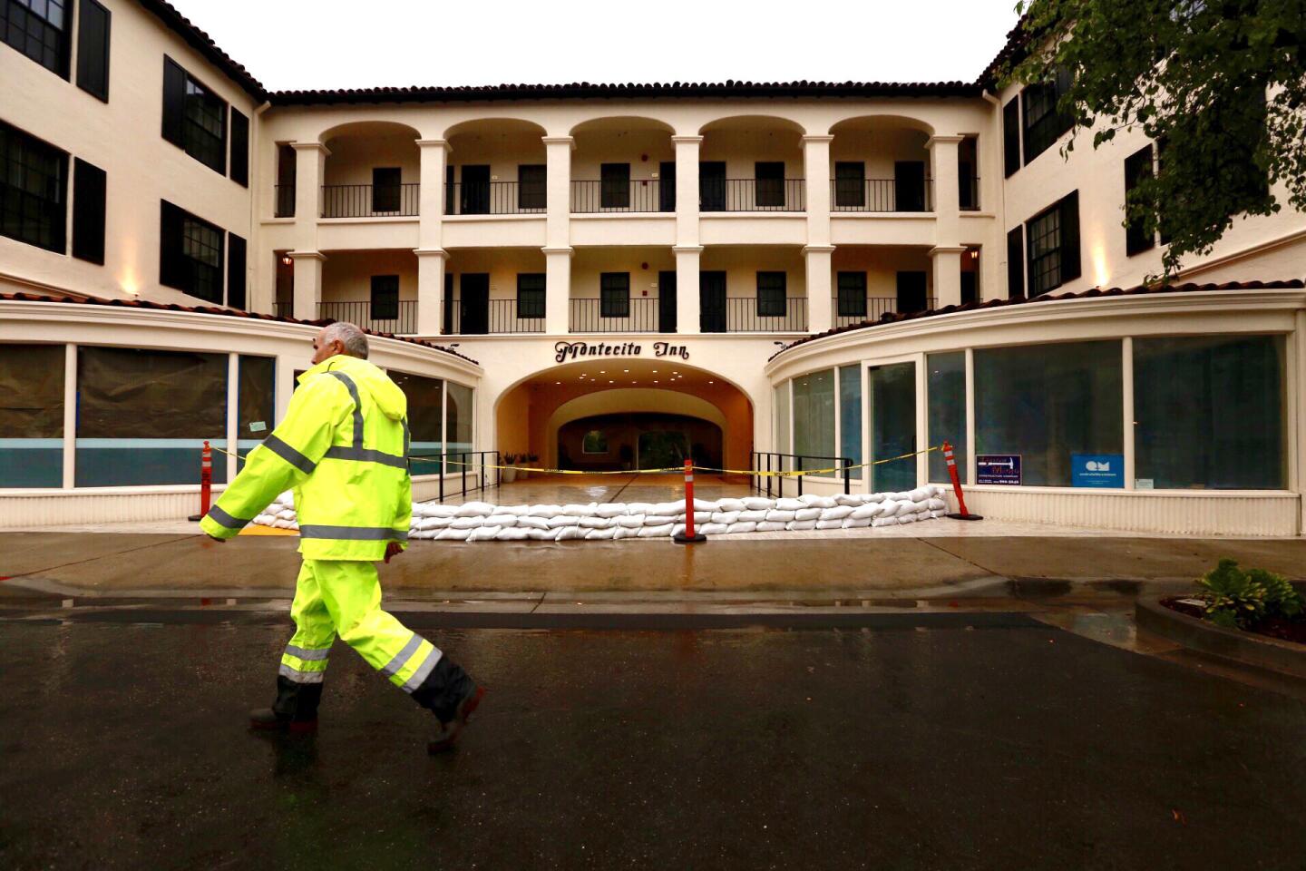
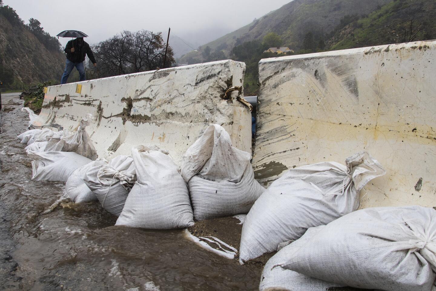
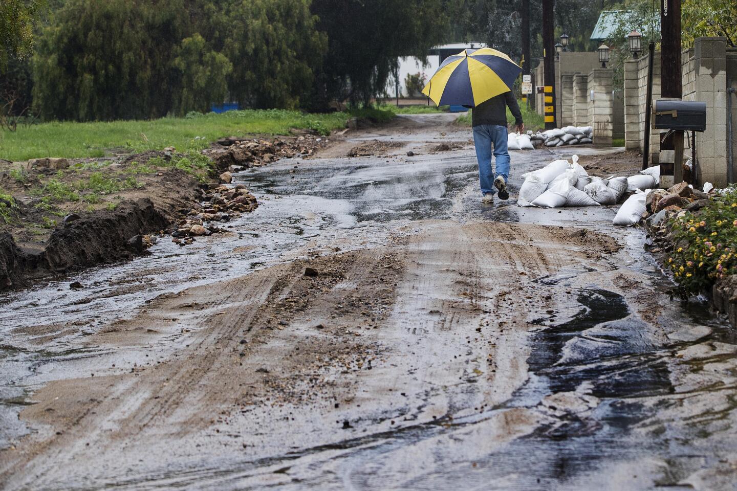
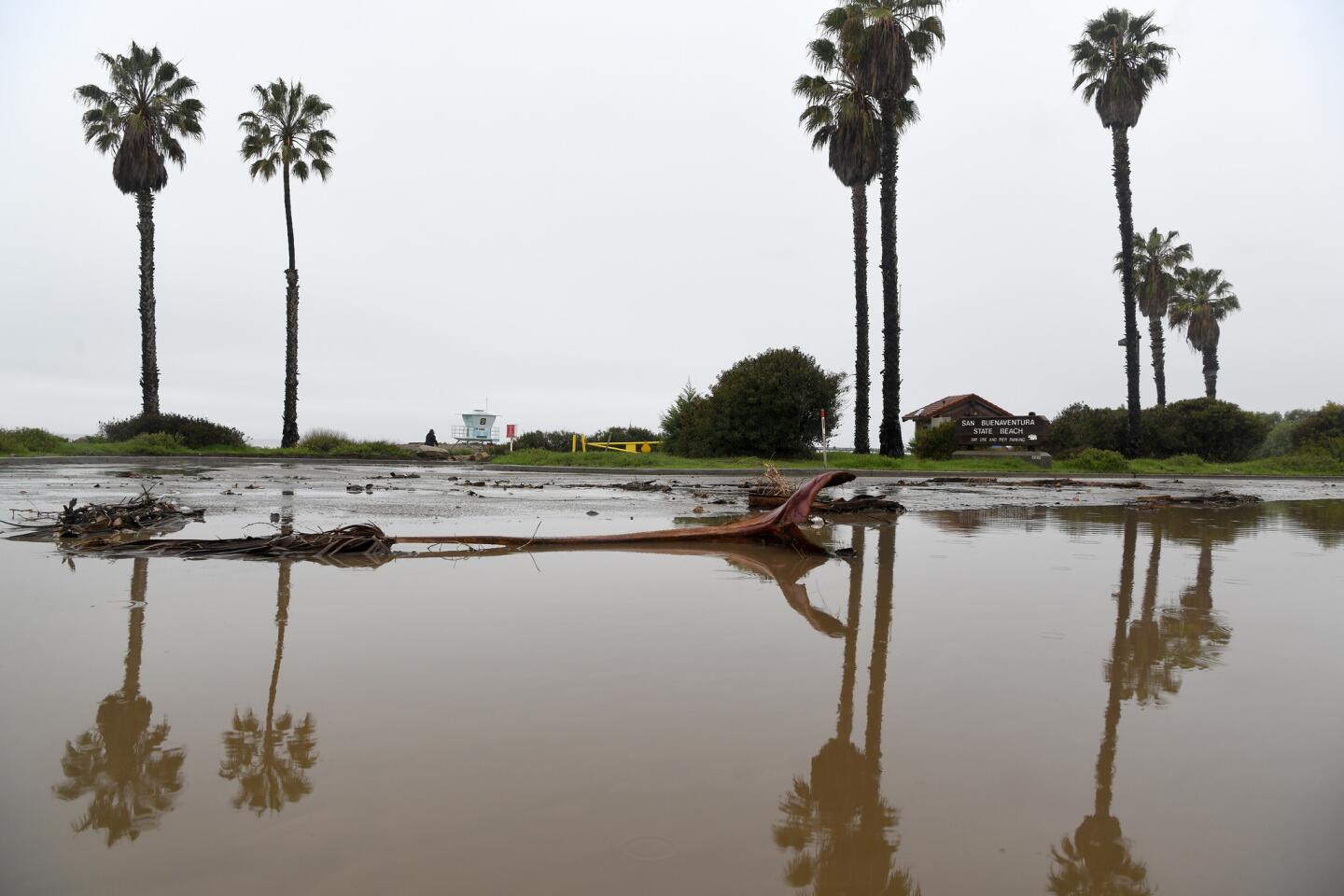
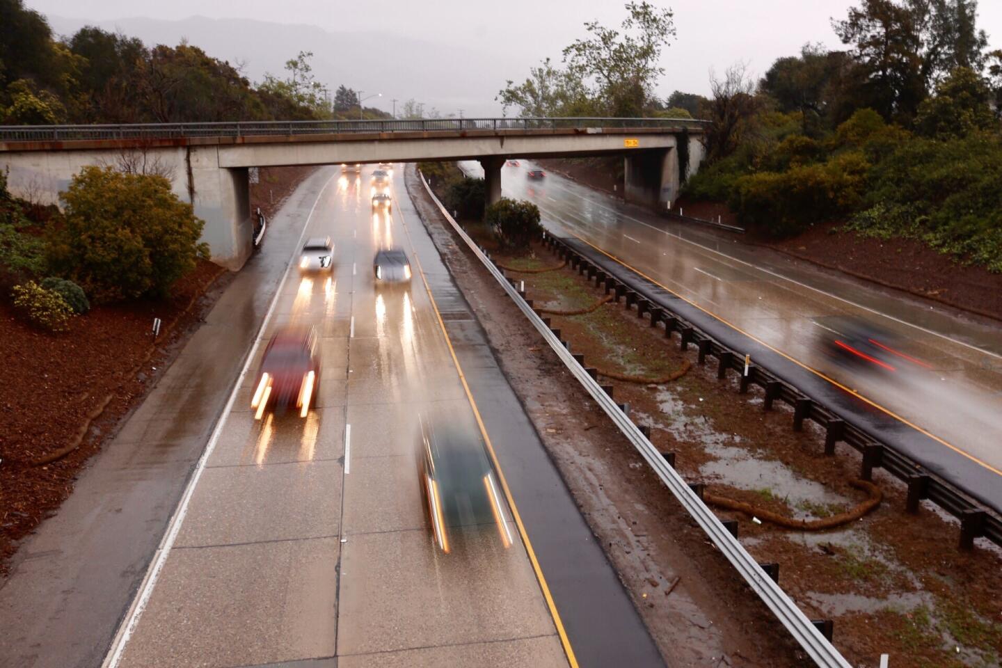
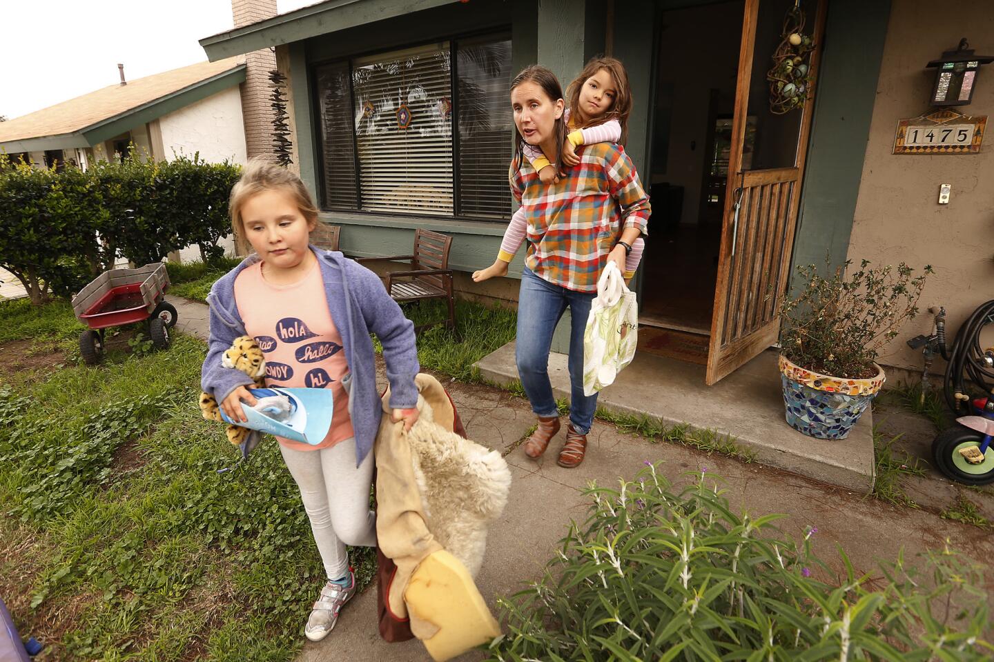
Residents and volunteers prepare to protect their homes in Carpinteria and Montecito as the most powerful rainstorm of the year is expected to deliver a direct hit to areas burned in the Thomas fire. Authorities have ordered about 21,000 residents i
- Share via
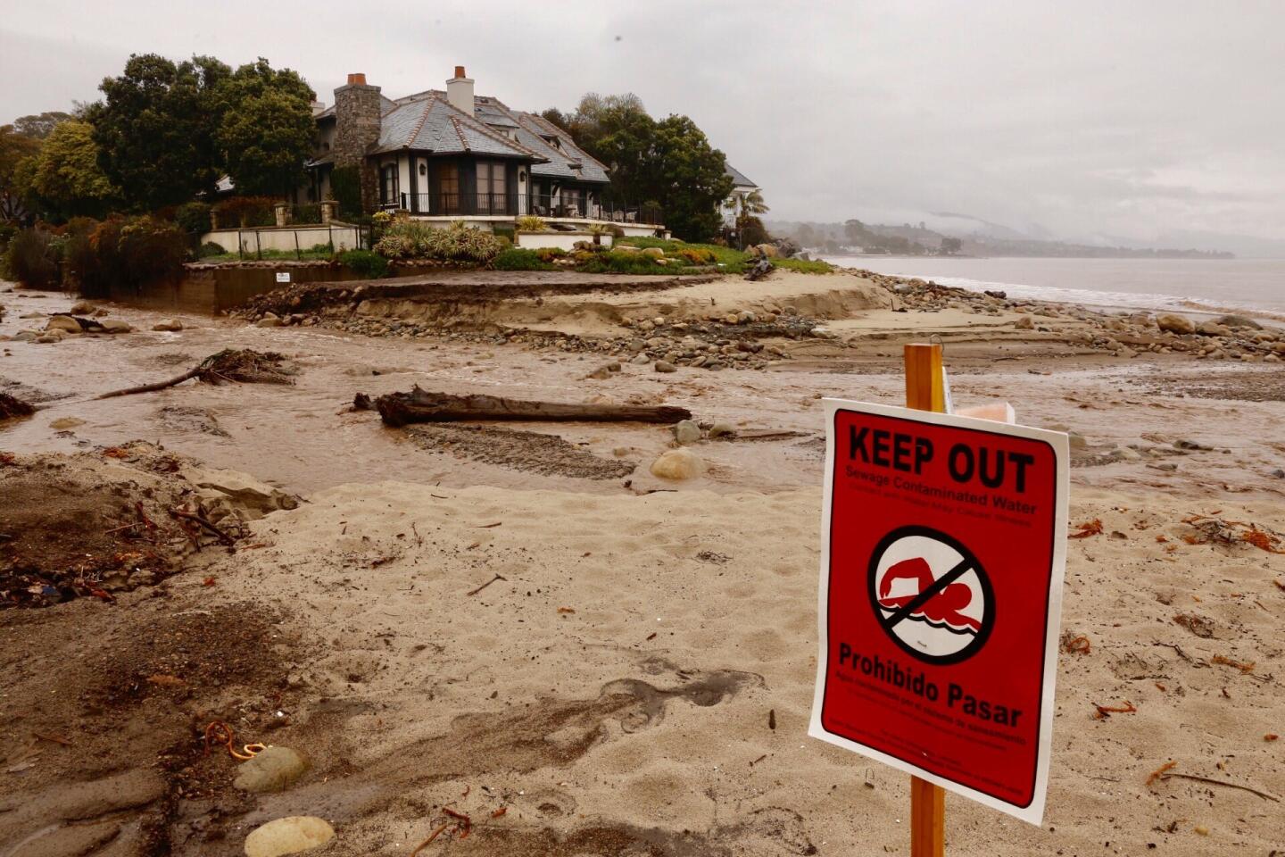
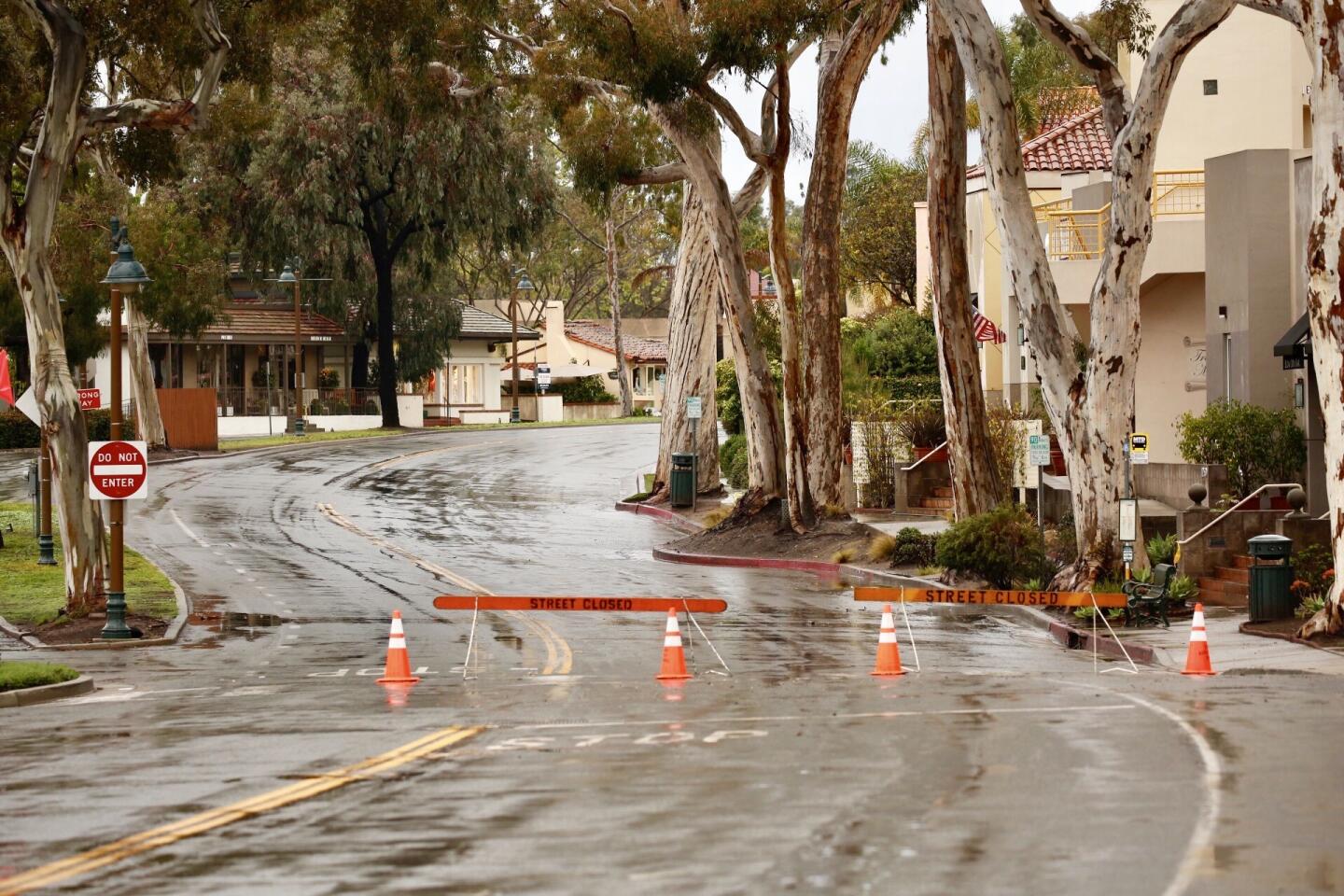
Authorities ordered more than 30,000 Santa Barbara County residents and workers, and about 2,400 Ventura County residents to flee their homes Tuesday afternoon as a massive storm lumbered out of the eastern Pacific Ocean and plotted a collision course with Southern California’s fragile, fire-scarred coast.
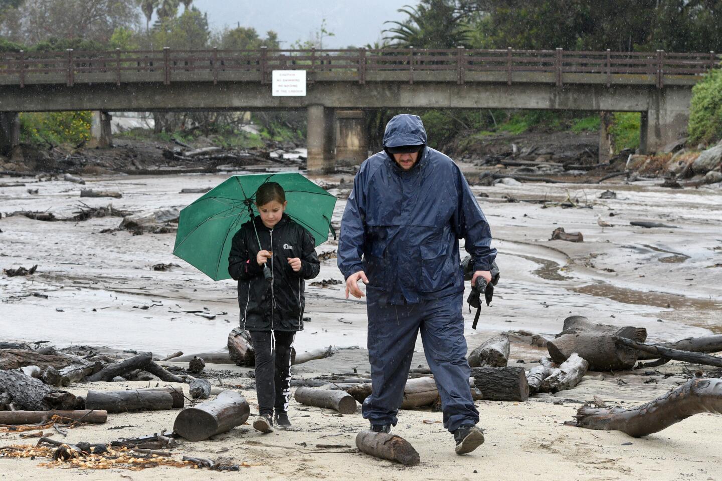
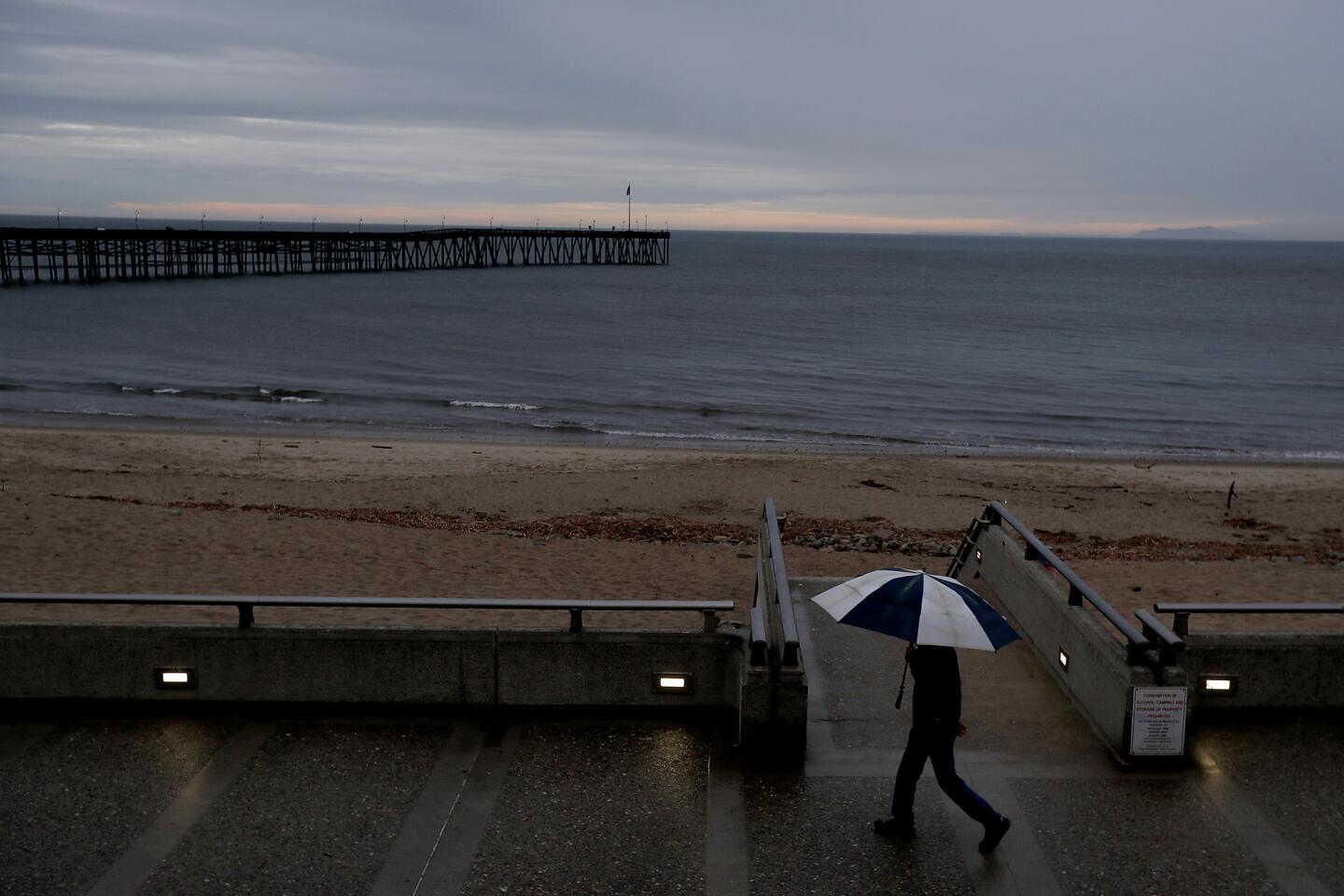
The storm — a bloated atmospheric river of tropical moisture known as a “pineapple express” — should make landfall Tuesday night. By Friday, the system is predicted to dump 3 to 6 inches of rain along the coast and up to 10 inches in the mountains and foothills above Montecito, Carpinteria and Ojai.
“Right now … it’s taking a bull’s-eye shot at Santa Barbara County, the Thomas fire and Ventura County,” said Stuart Seto of the National Weather Service.
Of the 30,000 people ordered to flee Santa Barbara County, 21,000 are residents, according to spokeswoman Amber Anderson. The remaining 9,000 are people who work in the area during the day, she said.
In Ventura County, about 32,200 more residents were in voluntary evacuation zones, said Deputy Chad Anderson of the Sheriff’s Department.
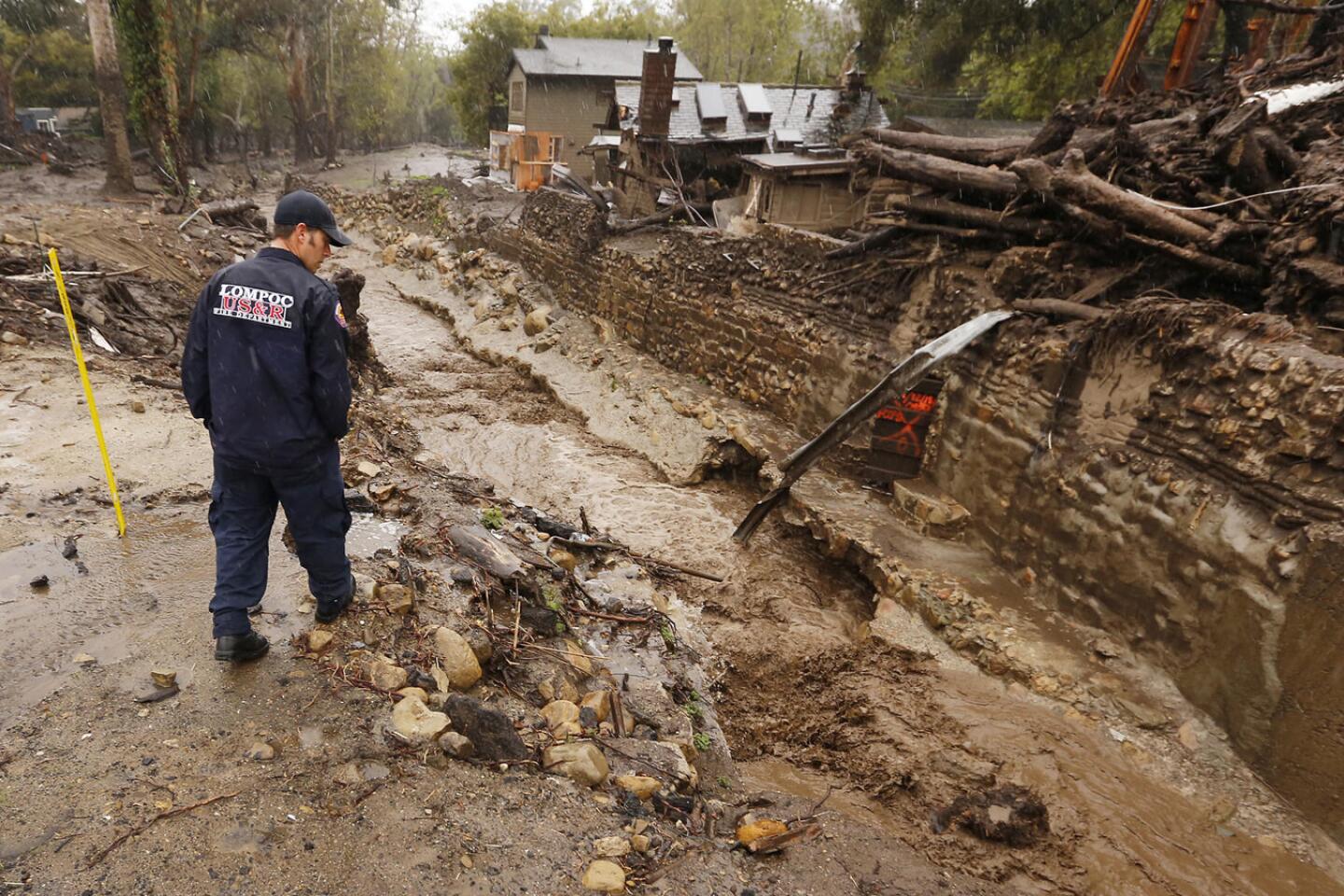
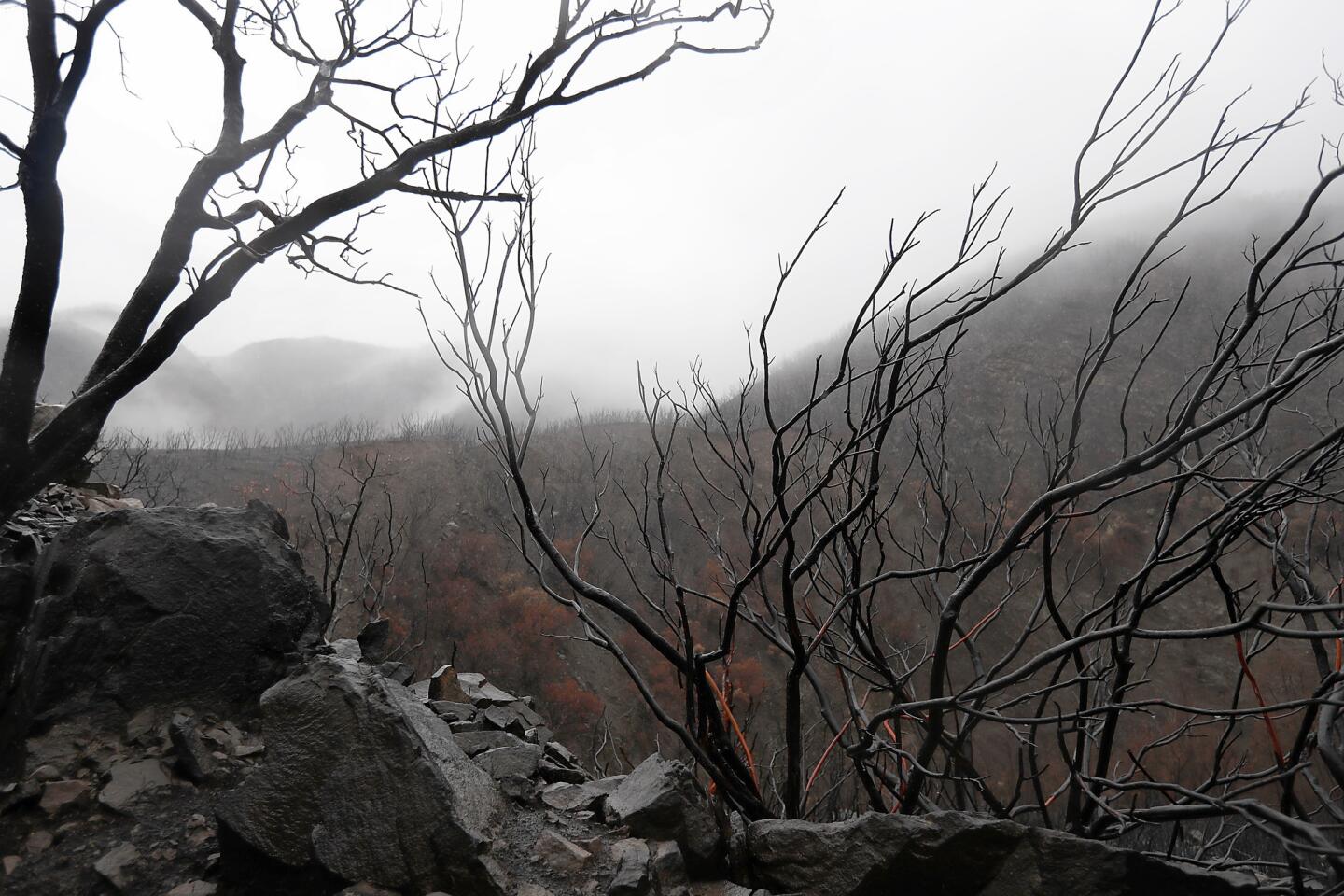
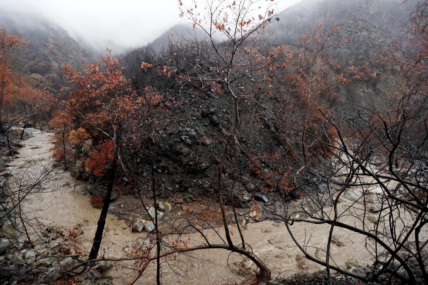
The rain comes just months after the largest fire on state record scorched more than 440 square miles of land in Ventura and Santa Barbara counties, reducing thick forest and chapparral to ash and making steep hillsides susceptible to mud and debris flows.
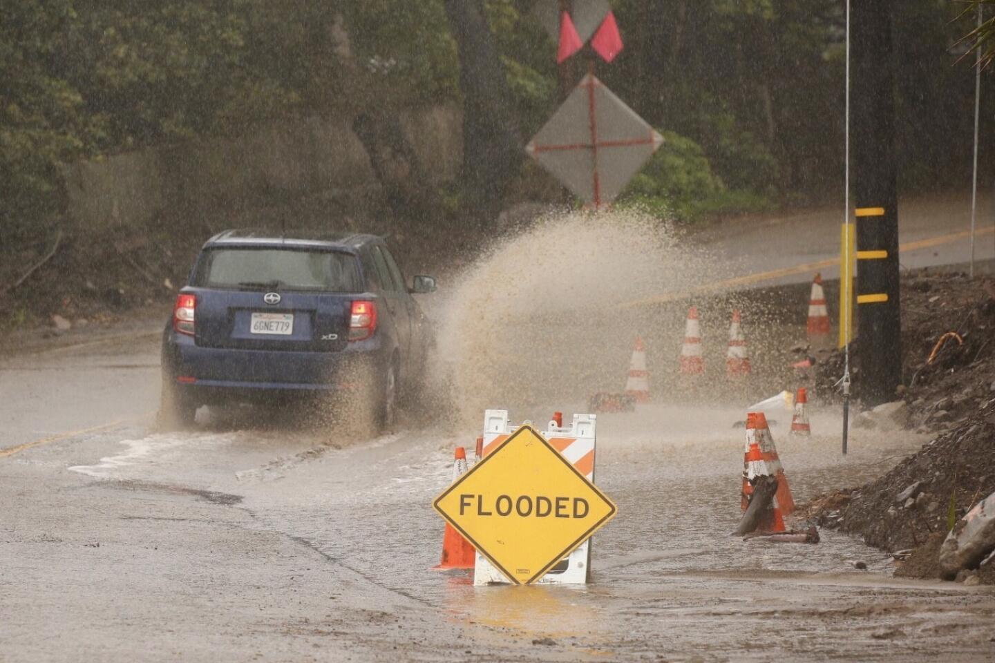
Flash flood watches were issued in both counties Tuesday ahead of the rain.
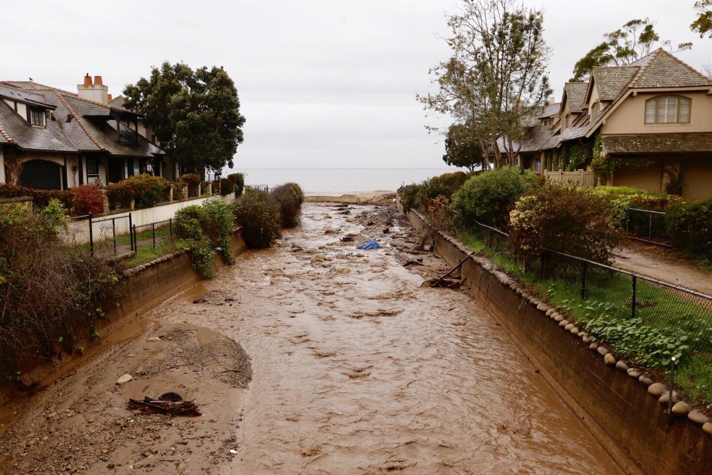
Thomas fire-scorched hillsides will start to dissolve into mud flows if it rains at a rate of more than a half-inch an hour, according to the U.S. Geological Survey. This storm is expected to drop rain at up to three-quarters of an inch an hour for the better part of a day starting Wednesday afternoon and into Thursday morning over some of those areas, Seto said.
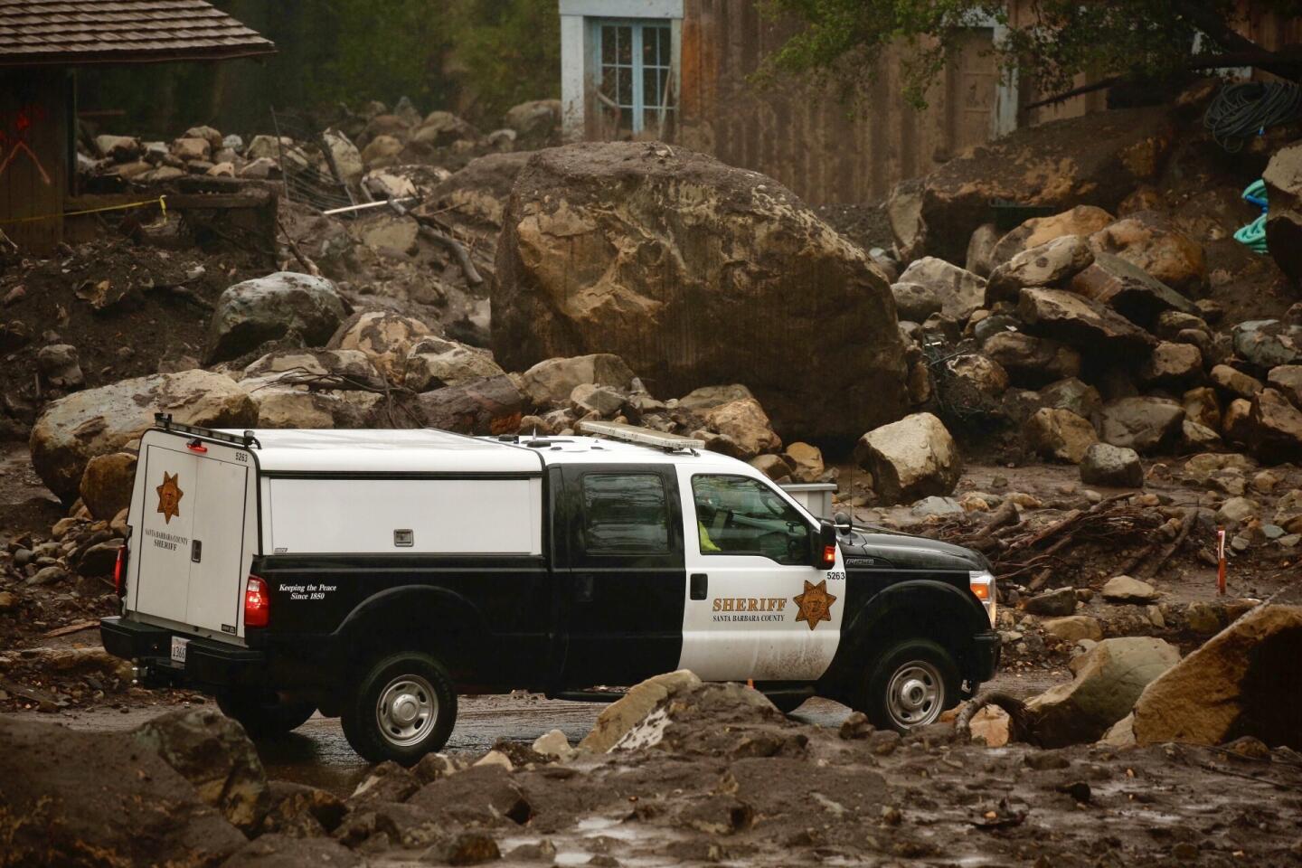
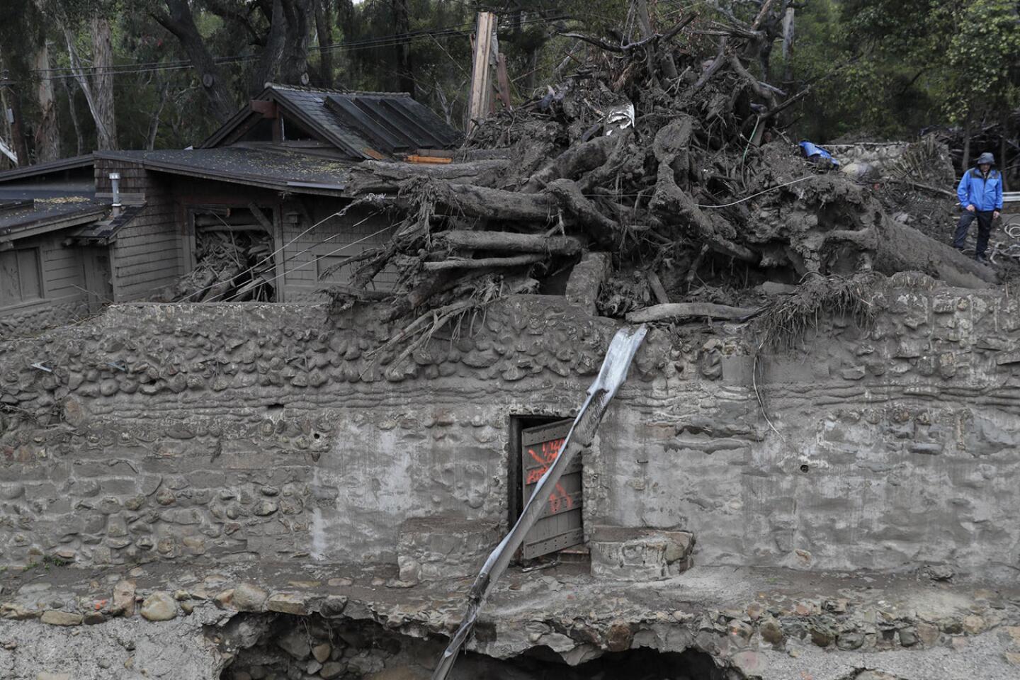
Authorities hope to avoid a repeat of Jan. 9, when mud and debris flows roared through Montecito neighborhoods in the middle of the night, killing at 21 people. Many of the victims never expected to be affected by the rains.
“Once those rain intensities start they could block the roads and they wouldn’t be able to leave,” Seto said. “That’s what’s different with mudslides. Once they hit their threshold, they’re going to go. They’re not going to wait and give you time to think about it.”
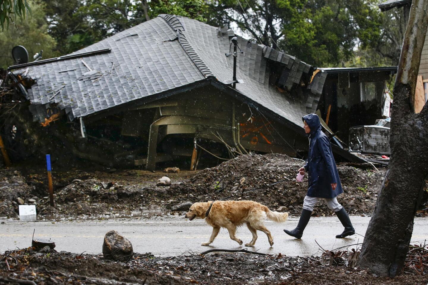
Montecito resident Wendy Fehr said she hasn’t been able to stop reading the news since she first heard the storm forecast on Saturday. Every hour she checks different weather websites on her phone.
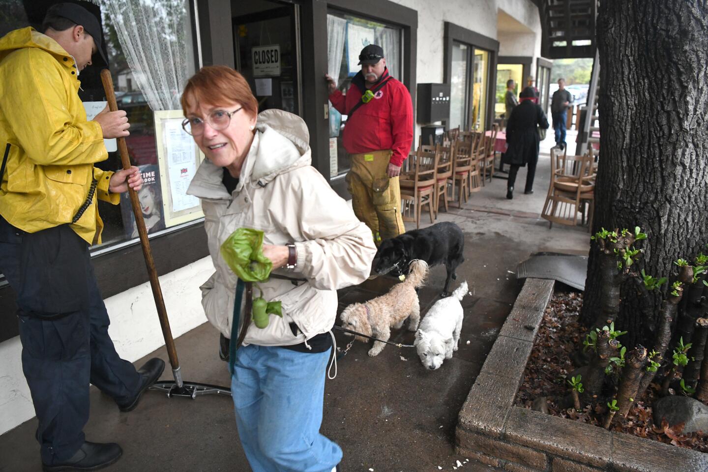
“I’ve gotten so good at understanding weather patterns and tracking storm developments,” she said as she walked her golden retriever along San Ysidro Road Tuesday morning.
“You’ve got to be good at it in order to stay safe.”
Her friend and neighbor, Ashley Mayfield, stood next to her.
Both Mayfield and Fehr finished packing Tuesday morning and planned to leave in the afternoon.
“I’ve gotten to the point where I just leave all my important documents in a zip-lock bag, ready to take at a moment’s notice,” Mayfield said.
At around 10 a.m., police came knocking at their doors, advising them to evacuate.
This is the fourth time Mayfield and Fehr have had to leave their homes since the Thomas fire.
Despite the constant disruption to their lives, they said they are happy to oblige.
“Evacuating is the fair thing for us to do,” Mayfield said. “It’s not fair to put the lives of emergency responders at risk by staying.”
Mayfield and Fehr said emergency communication and assistance from the county has improved since January’s mudslides.
“They’ve provided us with so many services, even for our animals, that there’s no reason not to leave,” Mayfield said.
UCLA climate scientist Daniel Swain described the approaching system as “the strongest storm of the year” for Southern California.
Although threatened Santa Barbara County residents were given until noon to evacuate, an interactive map the county presented of high risk areas suddenly became inaccessible Tuesday morning. The county and contractors restored access to the map after several hours.
By then, Montecito had already begun to clear out.
As Richard and Colleen Stewart gassed up their car at a station on Coast Village Road, the couple reminisced about how their lives have changed since the January slides damaged their home on Glen Oaks Drive.
The couple are originally from Canada and bought a house in Montecito where they spend their winters. Tuesday was the sixth time they’ve had to evacuate since November.
“We have evacuation fatigue,” Richard Stewart said. “If we have to evacuate one more time we will leave and go back to Canada.”
His wife has an art studio in the house, but she hasn’t seen much of it lately.
“I can’t get work done. It’s hard to constantly have to leave,” she said.
The couple say they are still haunted by memories of smashed homes and cars crushed by boulders, and say one of their neighbors died in the January rains.
“We don’t drive on the main street to get to our house anymore,” Richard Stewart said. “It’s too difficult to look at the damage.”
Their dog, Sammy, nestled in the back seat of their car by a handful of suitcases, pictures and other belongings.
The couple said they decided to evacuate because of the constant communication from officials who stressed the potential danger.
“I received emails and it was followed up with phone calls,” Richard said.
An evacuation center will be opened at Earl Warren Showgrounds, Warren Hall, at 3400 Calle Real in Santa Barbara. For help evacuating large and small animals, call the Santa Barbara County Animal Services hotline at (805) 681-4332.
Rob Lewin, director of the Santa Barbara County Office of Emergency Management, said in a statement that the storm could be intense enough to cause flooding even without the recent fires.
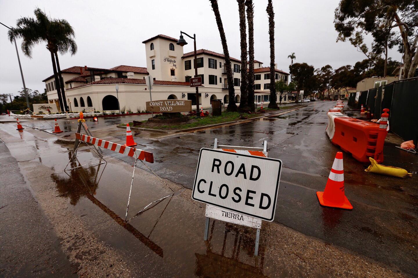
“We could experience localized flooding and road closures which are not isolated to the burn areas,” Lewin said. “The threat of rock falls, mudslides and debris flow is high.”
UPDATES:
9:25 p.m.: This article was updated with more details about the number of people affected by evacuation orders.
2:50 p.m.: This article was updated with comments from residents and forecasters and details of the evacuations.
This article was originally published at 10:25 a.m.
More to Read
Sign up for Essential California
The most important California stories and recommendations in your inbox every morning.
You may occasionally receive promotional content from the Los Angeles Times.
