Santa Anas could bring record highs, increased fire danger

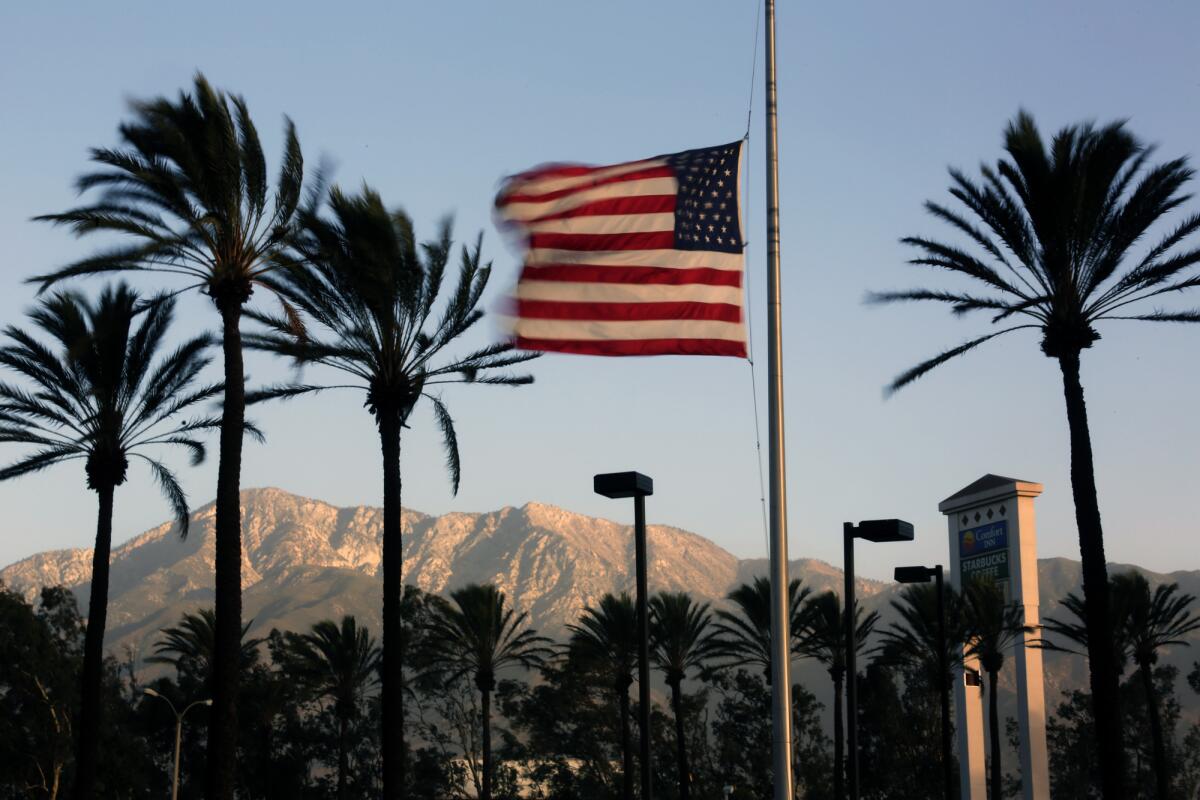
Santa Ana winds are expected to bring summer-like temperatures over the next few days, with the possibility of record-breaking highs on Wednesday.
But the weather that will elicit pangs of jealousy from those living in cold climates also will bring potential danger. The high winds, low humidity, built-up stores of dry fuel and lack of rain led the National Weather Service on Saturday to call a red-flag warning for portions of Southern California, meaning critical fire weather is expected.
The red-flag warning starts Monday at 3 a.m. and will run until 6 p.m. Wednesday.
Although normal seasonal rainfall for this time of year is 5.45 inches in downtown Los Angeles, the city has received less than an inch, said weather specialist Stuart Seto.
Temperatures are expected to increase as the week wears on. Downtown highs should hit 74 Sunday, 77 Monday, 80 on Tuesday and 84 Wednesday, which would threaten the record of 85 degrees for Jan. 15 that was set in 2009.
Temperatures are expected to drop to 80 on Thursday.
Lancaster set a record Saturday with a high of 74, breaking the Jan. 11 record of 71 set in 1999.
Twitter: @gottliebjeff
More to Read
Sign up for Essential California
The most important California stories and recommendations in your inbox every morning.
You may occasionally receive promotional content from the Los Angeles Times.


