Winter has come to California ... in May. Record rainfall, more snow on the way
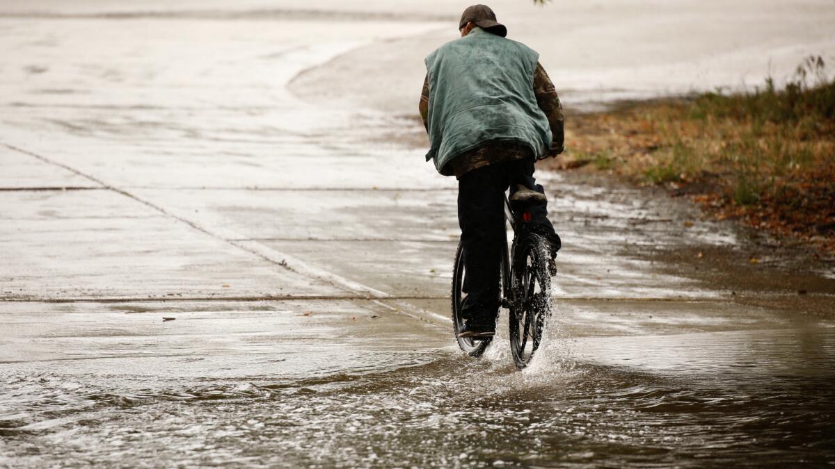
Southern California was hit by the wettest winter in years.
The snowpack, an important measurement of the state’s water supply, looks great.
And in mid-May — two months after the official end of winter — the rain and snow just keep coming.
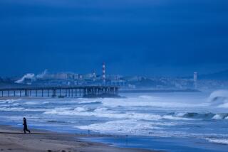
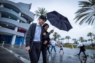
California was clobbered this week by another storm, which dumped snow on the Sierra and set rain records in the Southland.
More winter conditions are on tap for parts of Northern California this weekend, and the National Weather Service predicts colder-than-average temperatures for the entire state next week.
There also is a chance of more showers in Southern California in the coming days, which could bring up to half an inch of precipitation to some areas, according to the weather service.
What is going on?
May storms are far from unheard of, but experts said what we saw this week was unusual.
“In April, we’d have low-pressure systems move through and instead of bringing a lot of rain, they’d barely give us anything,” said Lisa Phillips, a meteorologist with the National Weather Service in Oxnard. “This system is a little different in that we are getting significant moisture with it. It’s definitely out of the norm.”
The low-pressure system comes on the heels of an extremely wet winter in California. A series of atmospheric river storms that hit during the winter months bolstered the snowpack, filled reservoirs and streams, and even left the state drought-free for the first time in nearly a decade.
How unusual was the latest storm?
Thursday’s front wasn’t just out of the norm, it was record-breaking, “clobbering” at least half a dozen rainfall tallies in Southern California including:
— Downtown Los Angeles: 0.48 inches (previous record of 0.04 inches was set in 1996)
— Burbank airport: 0.28 inches (previous record of 0.2 inches was set in 1995)
— LAX: 0.29 inches (previous record of 0.05 inches was set in 1996)
— Long Beach Airport: 0.25 inches (previous record of a trace amount was set in 2011)
— Santa Ana: 0.22 inches (previous record of 0.12 inches was set in 1949)
— Vista: 0.23 inches (previous record of 0.19 inches was set in 2011)
The rain also tied three records in San Diego County, including at Oceanside Harbor, which received 0.13 inches of precipitation on Thursday, matching the record set in 1915.
What’s next?
The weather service said that Friday and the beginning of Saturday will be clear in the L.A. area. But clouds will move in Saturday evening, with a 50% chance of rain.
On Sunday, more rain is likely in the morning before conditions clear.
Skies in Southern California will clear next week, but in Northern California, more storms are in the forecast. And it will be unseasonably chilly across the state.
Cool winter-like conditions are expected over the weekend, forecasters said. “The main cold front will move through Saturday afternoon and night, bringing rain and mountain snow,” the weather service reported, adding that unstable showery conditions are expected Sunday and “well-below normal” daytime temperatures are expected both days.
A winter storm watch, warning of late-season snow that could result in travel delays, was issued for locations above 6,000 feet.
More to Read
Start your day right
Sign up for Essential California for news, features and recommendations from the L.A. Times and beyond in your inbox six days a week.
You may occasionally receive promotional content from the Los Angeles Times.
