Tropical Storm Beta spurs hurricane worries for Texas
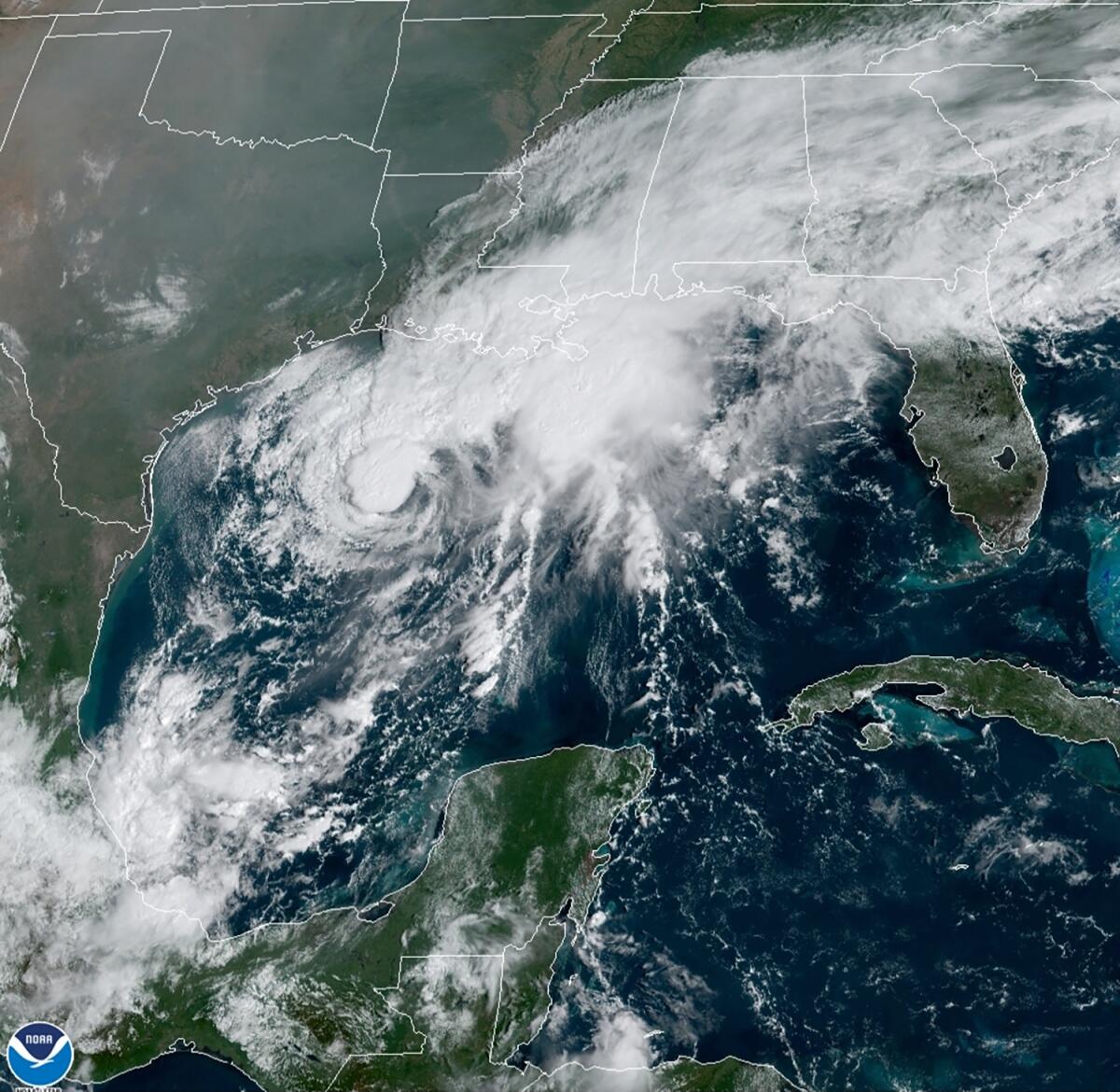
An exceptionally busy Atlantic hurricane season was churning along Saturday as the Texas coast prepared for a tropical storm that could strengthen into a hurricane before breaching its shores in the week ahead.
Both the city of Galveston and Galveston County on Saturday issued voluntary evacuation orders ahead of Tropical Storm Beta, as did the city of Seabrook to the north of Galveston.
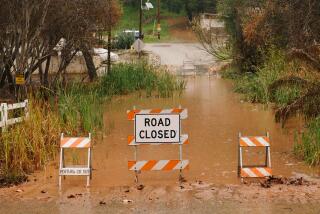
Mayor Pro Tem Craig Brown said in a statement that high tides and up to 10 inches of expected rainfall would leave roads impassable, especially along the city’s west end and low-lying areas.
County Judge Mark Henry said during a Saturday news conference that his concern is also based on rising waters creating a storm surge and that a mandatory evacuation is not expected.
“If you can survive in your home for three or four days without power and electricity, which we’re not even sure that’s going to happen, you’re OK,” Henry said. “If it’s uncomfortable or you need life support equipment, maybe go somewhere else.”
Tropical Storm Beta was brewing in the Gulf of Mexico, 320 miles east-southeast of Corpus Christi, Texas, and 245 miles south of Lake Charles, La., the U.S. National Hurricane Center said in an advisory.
The system was expected to be near hurricane strength as it approaches Texas on Sunday and Monday. Forecasters issued a tropical storm warning from Port Aransas, Texas, to Intracoastal City, La. A storm surge warning was issued from Port Aransas, Texas, to High Island, Texas.
If Beta makes landfall in Texas, it would be the ninth named storm to make landfall in the continental U.S. in 2020, tying a record set in 1916, according to Colorado State University hurricane researcher Phil Klotzbach.
In Lake Charles, La., where thousands of people remain without power more than three weeks after Hurricane Laura slammed into the coast, there are concerns that Beta could super-soak the region once again. Up to 20 inches of rain is possible in parts of the area, Donald Jones, a National Weather Service meteorologist based in Lake Charles, said in a Saturday briefing.
“A lot of people have been saying, ‘Is this going to be like Harvey? Is this going to be like Imelda?’” Jones said. “We’re not talking about rainfall totals yet that are on the orders of magnitude that we saw with that.” Imelda, which struck southeast Texas in 2019, was one of the wettest cyclones on record. Harvey dumped more than 50 inches of rain on Houston in 2017.
However, if the storm ends up moving a bit slower than what’s being forecast now, rainfall totals could be even higher than 20 inches, Jones said.
“Harvey was a very specific and unique event, but we are talking about the same idea in terms of very heavy, heavy rainfall,” he said.
Beta had maximum sustained winds at 60 mph and was stationary Saturday afternoon.
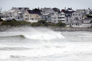
Forecasters were predicting up to 4 feet of storm surge along parts of the Texas coast that included Baffin Bay, Corpus Christi Bay, Galveston Bay and more. Wind, heavy rainfall and life-threatening surf and rip current conditions were also expected with the storm.
Forecasters ran out of traditional storm names on Friday, forcing the use of the Greek alphabet for only the second time since the 1950s.
More to Read
Start your day right
Sign up for Essential California for news, features and recommendations from the L.A. Times and beyond in your inbox six days a week.
You may occasionally receive promotional content from the Los Angeles Times.
