Quickie Rains to Dampen Southland Until Sunday
Southern California will probably have a few more showers today and Saturday, the forecasters say, but things should be looking brighter by Sunday.
As another weak cold front skipped through Thursday on its way to Arizona and New Mexico, meteorologist Dave Beusterien of WeatherData Inc., which provides forecasts for The Times, said none of the current quickie storms are very wet.
There is a good chance of some significant rain Saturday night, Beusterien said, when moisture from the North Pacific is expected to slide down the California coast.
“That should break up by Sunday morning,” he said.
Cold Front Moves Through
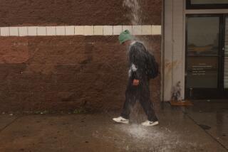
The latest rain, which pattered into the area Thursday morning, was the result of a cold front moving through northern sections of the Southland and an upper-level storm system just off the coast of Northern California, he said.
A single-engine Piper 28 crashed Thursday during rain in the San Bernardino Mountains east of Interstate 15 near Devore, the Federal Aviation Administration said. At least one person was reported dead. A San Bernardino County sheriff’s spokesman said he was certain the weather was a factor in the crash at the 1,000-foot level, because “it was nasty up there.” Officials had no immediate details on the plane, or where it was headed.
In Los Angeles, the city’s Community Development Department reopened its shelters to the homeless for at least three nights as the National Weather Service predicted an 80% chance of rain overnight and low temperatures in the mid-40s. Homeless families with children were given vouchers for hotel rooms.
The Los Angeles Civic Center had .07 of an inch of rain by late afternoon, according to the National Weather Service, which released no later data. That brought the season total to 4.71, compared to the normal to date, 4.91.
Some other late afternoon readings included .06 at Los Angeles International Airport; .15 at Avalon; .10 at Culver City; .11 at Monrovia; .18 at Mt. Wilson; .15 in Pasadena; .22 at San Gabriel; .31 at Santa Barbara, .07 at Santa Monica and .15 at Westwood.
There was wind and snow in Southland mountains with the snow level expected to move down to 4,000 feet by this morning. Snow accumulations of 8 to 12 inches were expected above the 7,000-foot level in the northern ranges and up to 8 inches in the southern ranges.
Thursday’s Los Angeles Civic Center high temperature was 55 degrees. The low was 50. Relative humidity ranged from 100% to 83%.
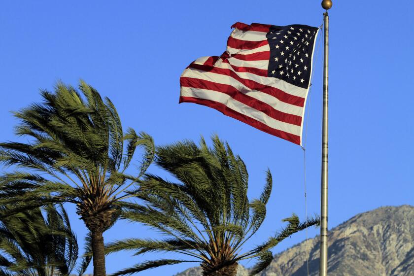
By Sunday, the Southland should be fair and slightly warmer, according to the National Weather Service, which said coastal high temperatures will be 64 to 68 with local gusty north-to-northwest winds decreasing Monday.
More to Read
Sign up for Essential California
The most important California stories and recommendations in your inbox every morning.
You may occasionally receive promotional content from the Los Angeles Times.
