Upgraded Earthquake Web Site to Go Into Service in California
A new, improved Web site on California earthquakes will be put into service this month, and the U.S. Geological Survey says it will be far more accurate than the one it has been operating for the last couple of years.
Currently, an Internet user can find colorful maps of quakes, often within half an hour of their occurrence, and a list of all quakes in the state of magnitude 2.0 or higher, by calling up https://quake.wr.usgs.gov
The trouble has been that some of the quakes haven’t been quite in the location shown on the maps or quite the size listed. That’s because a sizable proportion of the temblors that occur in California--sometimes more than half of all the quakes in the state on given days--take place in the Eastern Sierra or the Owens Valley, and many of those places are just beyond the reach of the separate networks of seismographic stations operated by the Geological Survey and Caltech.
The result has been distortion. A quake will occur, and often it is not recorded precisely. The respective networks frequently differ on what has happened.
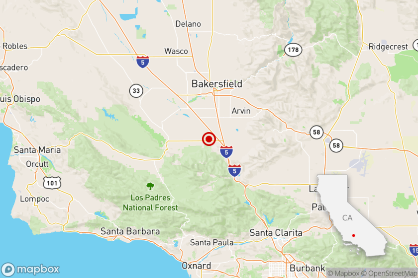
In the case of the Nov. 27 Inyo County quake 30 miles north of China Lake, for example, the Geological Survey’s Web site initially called it a magnitude 5.5, while Caltech said it was five times smaller, a 5.0. And the two primary references given for the location were different too.
David Oppenheimer of the U.S. Geological Survey said that if the University of Nevada at Reno’s seismic network had been used, many quakes that take place in the Eastern Sierra would be more precisely recorded.
Beginning later this month, all the pertinent seismic networks are to be coordinated in an attempt to get the best information and eliminate inconsistencies.
Also beginning in January, all of California will appear on one map that will show all quakes of recent days, and it will be simple to zero in on a particular area. (Currently, Web browsers must look at a series of different maps to get the total picture.)
The Geological Survey has other plans to improve quake information on the Internet. In February, representatives of seismic networks from throughout the country will meet in Memphis to discuss a national system that eventually will bring quakes in Missouri, South Carolina, Washington, Montana and other seismically active areas to the Web in all their detail.
Kenneth Reich, who writes frequently about earthquake science, can be reached at ken.reich@latimes.com
More to Read
Sign up for Essential California
The most important California stories and recommendations in your inbox every morning.
You may occasionally receive promotional content from the Los Angeles Times.


