State Releases 4 More Seismic Maps; Program Is Under Fire
The state Conservation Department released four more in a series of seismic hazard maps that have come under fire from legislators seeking to cut state expenses by terminating the program.
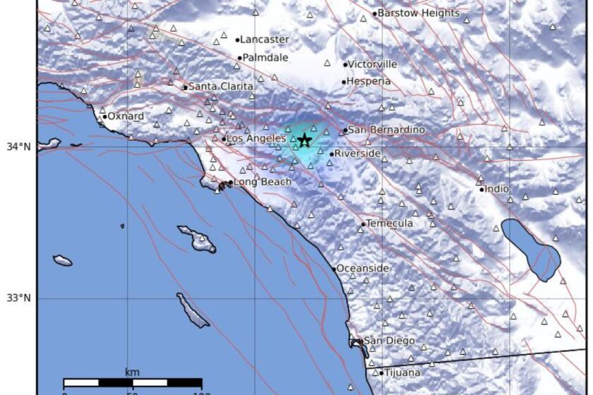
The maps, showing 60-square-mile areas in the Antelope Valley and other sections of the northeast part of Los Angeles County, bring to 89 the number of maps issued thus far. They show areas where a strong quake could be expected to generate landslides and what are known as liquefaction problems.
All of Orange County and large parts of Los Angeles and Ventura counties have been covered in the maps, which designate “Zones of Required Investigation,” where geological studies are mandated before building permits are issued. Property owners and real estate agents must tell prospective buyers that those areas have been designated seismic hazard zones.
Don Drysdale, a spokesman for the Conservation Department, said 72 of the completed maps are in Southern California and 17 in Northern California. More than 200 other maps are pending. Most of the maps focus on areas where there is considerable new construction.
The maps, however, do not show the location of earthquake faults, nor designate areas where a big quake would cause what scientists call “near source effects” -- areas of particularly strong shaking. Those are displayed in other state hazard programs that legally trigger similar investigations, said Charles Real, supervising geologist for the Conservation Department.
Most of the landslide areas are in steep hillside zones where there is little building. However, the liquefaction zones are often in built-up areas.
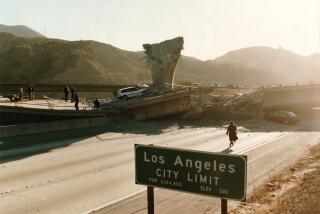
Liquefaction zones are areas with high water tables where a quake can cause soils to shake like gelatin. The Marina district in San Francisco, for example, is in a liquefaction zone where there were big fires and severe damage in the 1989 Loma Prieta quake.
Republican legislators asked the Assembly Budget Committee last week to set aside the seismic hazard map program, pending a review.
But department heads in the Davis administration deplored the request.
More to Read
Sign up for Essential California
The most important California stories and recommendations in your inbox every morning.
You may occasionally receive promotional content from the Los Angeles Times.


