U.S. to study sinking land in San Joaquin Valley
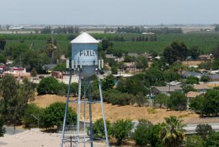
Scientists suspect that parts of the San Joaquin Valley have started to sink again after years of stability, a troubling development that geologists say can be traced to increased pumping of groundwater.
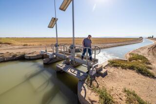
State water managers are worried that falling land surfaces could damage the California Aqueduct, which carries water from the Sacramento-San Joaquin Delta to the valley and Southern California.
To measure the extent of the problem, the U.S. Geological Survey is launching a three-year study that will use sophisticated satellite tracking to map sagging land in the valley’s arid floor in western Fresno and Kings counties.
“We want to know if it’s going to be impacting the aqueduct,” said Laurel Rogers, an agency spokeswoman. “Once we get some baseline data, water managers and people interested in infrastructure issues can take appropriate action.”
Pumping has spiked in recent years as San Joaquin Valley farmers responded to drought and regulatory decisions that reduced surface water deliveries, said Peter Martin, a U.S. Geological Survey hydrologist.
The $225,000 project will focus on an area west of Lemoore and south of Mendota that is bisected by the concrete channels of the aqueduct. In the past, geologists tracked changes in surface elevations with surveying tools or measuring rods installed inside wells, Martin said.
For this study, scientists will use satellite-imaging data that has been collected by European space agencies since 2003, said Michelle Sneed, who is leading the study. Supplemented with new images, the data will be able to track changes as they are occurring, Sneed said.
“We’ll use it to see if there’s been any deformation along the aqueduct in that time period,” she said. “We’ll download new images as quickly as they become available to create a real-time monitoring pool.”
It’s not the first time the state has dealt with sinking land in the San Joaquin Valley. Farmers began noticing dips in the valley floor as early as the 1920s as they drew water from underground aquifers.
Subsidence became a major issue after World War II when growers, spurred by expanding markets for fruits and vegetables, took advantage of then-new turbine pumps and drilled thousands of new wells.
Underground water tables fell faster than nature could replenish them. Studies at the time found that over-drafting caused a 5,200-square-mile area to sink by an average of one foot.
One area near Mendota fell an astounding 28 feet, a study found.
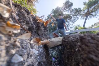
The explanation is simple, Martin said. When aquifers are depleted of water, the clay earth above them starts to compact and everything on top crumbles with it, like a giant souffle gone flat, he said.
In the 1970s, the state’s aqueduct system began delivering water from the Sacramento-San Joaquin Delta and that helped stem the problem, along with several wet winters that replenished water levels, Martin said.
But with prolonged drought, farmers are once again resorting to aquifers to irrigate their crops, he said. Drought conditions have also prompted state water managers to reduce water exports from the delta.
Water deliveries from the Sacramento-San Joaquin Delta fell to 3.6 million acre-feet for this year, down from 5.7 million acre-feet before 2008, according to a state water report.
Much of the reduction, about 75%, is due to the effects of the drought. The other 25% was curtailed to protect the endangered delta smelt and salmon fisheries.
--
catherine.saillant@latimes.com


