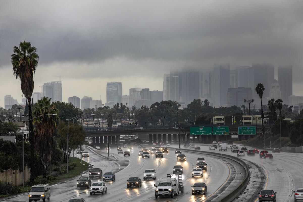
Winter storms take a break as L.A. awaits first rainfall of 2020

- Share via
A smattering of rain will develop over some parts of Southern California on Thursday, but the region likely won’t see more than a sprinkle while waiting for the first big storm of 2020.
Despite the dry spell, Los Angeles is having a wetter-than-average winter — at least so far — thanks to a series of drenching storms in November and December that also helped boost the state’s snowpack. But forecasters aren’t predicting significant rain in the area for at least a week, said Joe Sirard, a meteorologist with the National Weather Service in Oxnard.
Forecasters say the midwinter dry period is fairly common for the Golden State, even during wet years. A storm that forecasters thought might be on the horizon for Southern California early next week appears to have dissipated in the most updated forecast models.
“If you’ve lived here long enough, you know that we can have a good start to the season and then the spigot shuts off for a long time,” Sirard said. “We’re in kind of a dryish pattern right now.”
The dash of moisture that some areas will get, particularly north of L.A. in San Luis Obispo and Santa Barbara counties and across the slopes of the mountains near the Kern County line, is the result of a low-pressure system known as an “inside slider” that began moving across the San Francisco Bay Area toward the Central Coast on Thursday morning. Coastal Los Angeles County will likely remain dry throughout the day, but there’s about a 20% chance of light showers in the valleys.
The system will be chilly enough to drop snow levels to about 4,500 feet, which means the Grapevine portion of the 5 Freeway could see a dusting of fresh powder. But forecasters say snowfall amounts will be light. On Thursday morning, the California Department of Transportation closed both directions of Angeles Crest Highway for nearly three miles near Islip Saddle because of unsafe weather conditions in the area. It is not clear when the stretch of highway will reopen.
The system will also bring some strong winds to the mountains in Santa Barbara, Ventura and Los Angeles counties, with gusts up to 60 mph through Thursday night.
Instead of heavy rain, Thursday’s system will be followed by another “inside slider” on Saturday, which is expected to bring below-average temperatures to much of Southern California. Highs will remain in the low to mid-60s in downtown Los Angeles, and the valleys will be even chillier, with highs in the 50s to low 60s, Sirard said.
“We’re not going to see a huge warm-up at all for quite some time,” he said. “The warmest day might be Friday when we’re looking at highs in the upper 60s, which is closer to normal for this time of year.”
More to Read
Sign up for Essential California
The most important California stories and recommendations in your inbox every morning.
You may occasionally receive promotional content from the Los Angeles Times.


