Fire-dampening rain for California fizzles; more heat and possible Santa Ana winds are on the way
Chances of beneficial rain in Northern California have largely done a vanishing act, the National Weather Service said.
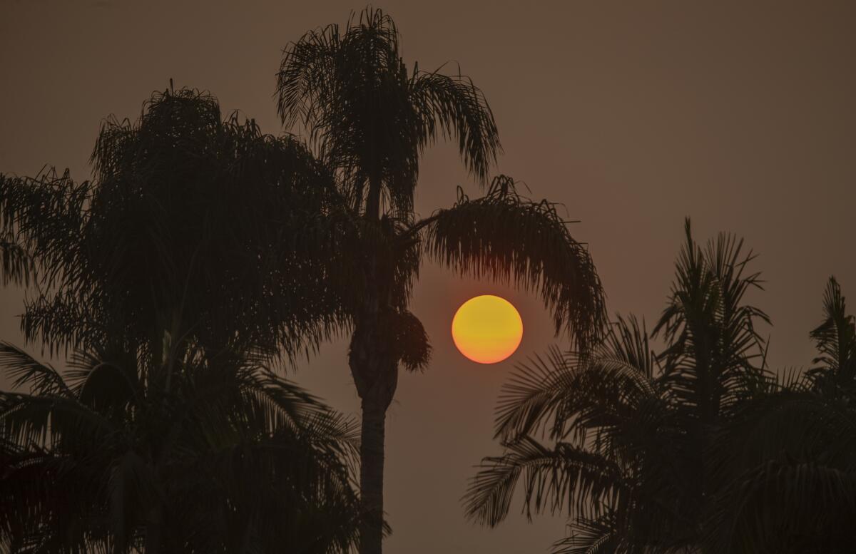
Disappointment hangs in the air like smoke and ash from the West’s most active wildfire season on record.
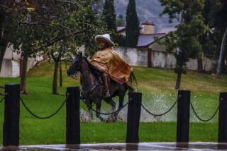
But a welcome cooling trend will continue across the state into the weekend, and drizzle is possible in Southern California on Friday night and Saturday.
After that, Santa Ana winds are likely to bring a return to warm, dry conditions through midweek in the Southland.
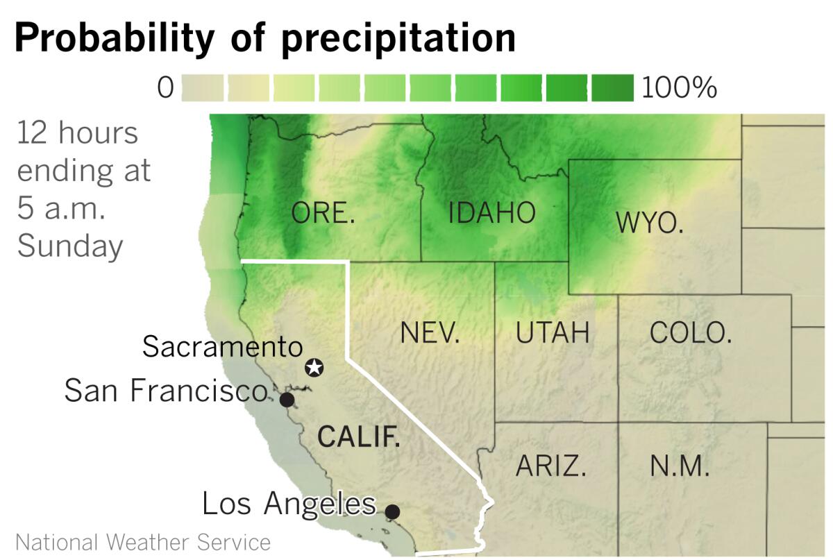
In Northern California, dry northerly winds return Sunday into next week, the weather service said.
The hoped-for beneficial precipitation won’t happen for most of Northern California, said Scott Rowe, a meteorologist with the National Weather Service in Sacramento.
Looking out the window of the Sacramento forecast office, Rowe described the sky as somewhat smoky with high clouds from the remnants of Hurricane Marie. Last week, some forecast models suggested that moisture from Marie would tie into a Pacific trough moving in from the northwest.
“The system from the Pacific Northwest slowed down, and the ingredients did not come together,” said Rowe. “The timing was off.”
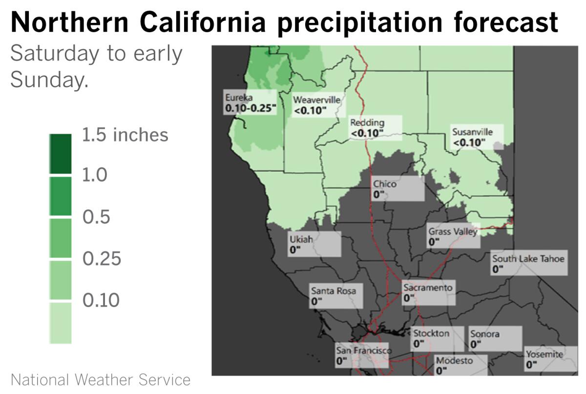
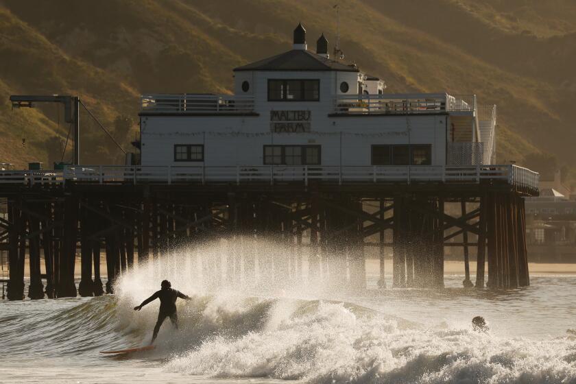
Hope for a spritz of rain on the Central Coast and in Southern California has also dwindled to nothing. There is a chance for more cooling Friday and drizzle Friday night and Saturday, especially near the coast, with the increasing onshore flow and deepening marine layer. By Sunday, temperatures will rebound as a warm-up begins into next week.
Sunday is also expected to bring gusty northerly winds in southern Santa Barbara County and through the Interstate 5 corridor. Santa Ana winds are possible late Monday through Wednesday in Southern California as cold air settles into the Great Basin.
An upper-level ridge over the eastern Pacific will strengthen beginning Monday. Except for the far northwest corner of the state, the hopes for rain have mostly evaporated in Northern California, where fuels remain dry and the fire season continues.
Rowe expects a “run-of-the-mill offshore wind event,” but points out that a breezy day with dry vegetation during October in Northern California is more dangerous than an ordinary breezy day in December after there has been some rain to moisten potential fuels.
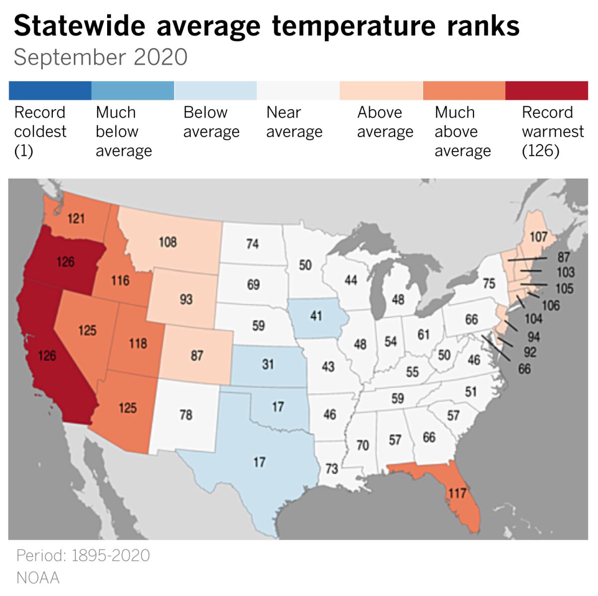
After a brief respite, Southern California returns to temperatures that are well above normal with elevated to locally critical fire weather conditions next week.
According to the National Oceanic and Atmospheric Administration, California and Oregon had their hottest Septembers on record in 2020.
“Looking forward a bit, the news does not get much better for the foreseeable future,” climate scientist Daniel Swain writes. The winter is looking dry with strong La Niña conditions, although that does not mean we won’t see any major storms or rain events, said Swain.
“Weather forecasters were delighted by the possibility of some fire-dampening rainfall, but that was wishful thinking,” said climatologist Bill Patzert. “It’s only early October and we’re still in Santa Ana season. Last winter, both Northern and Southern California didn’t see significant rainfall until November. Be patient.”
More to Read
Start your day right
Sign up for Essential California for news, features and recommendations from the L.A. Times and beyond in your inbox six days a week.
You may occasionally receive promotional content from the Los Angeles Times.
