Rain hits Southern California, with even more on the way this week

- Share via
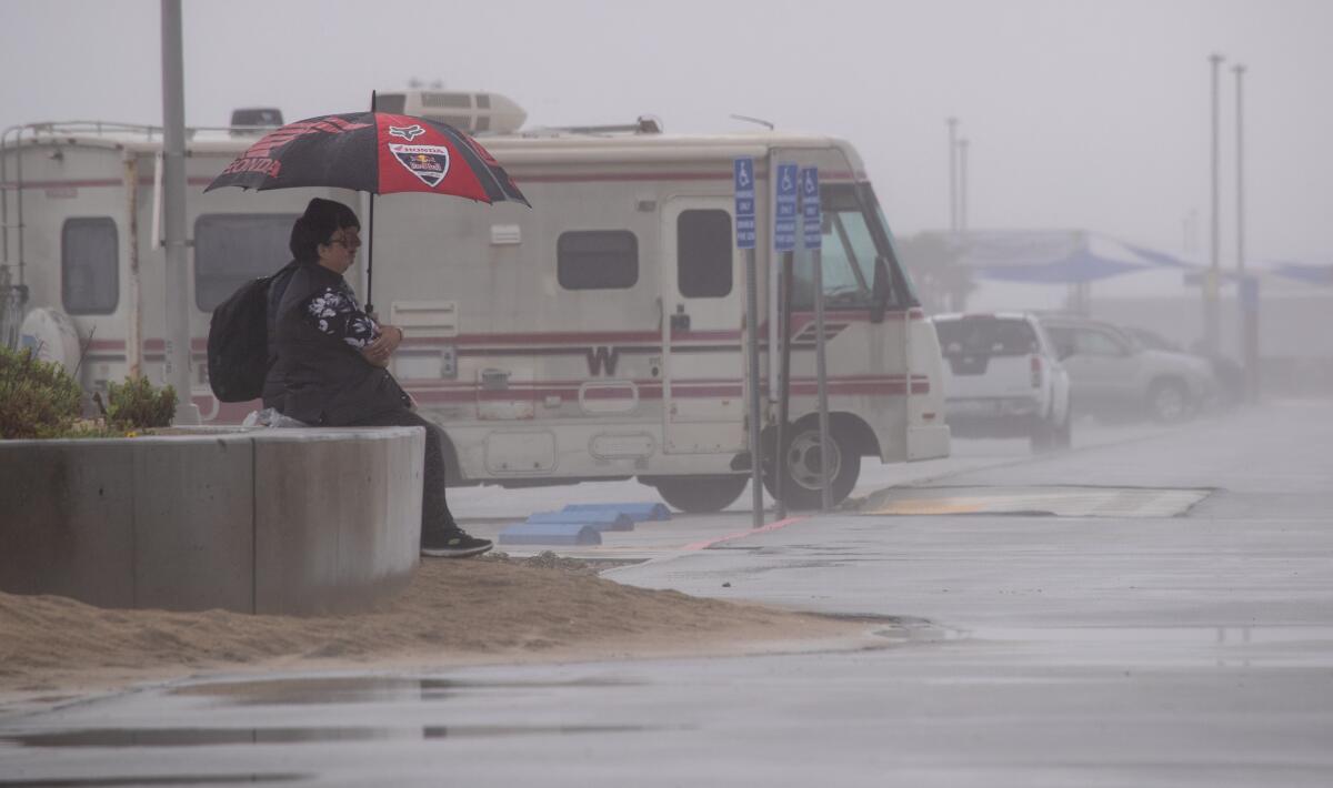
Soggy Southern California should expect a new storm moving in this week.
The forecast calls for the most rain likely Tuesday and Wednesday, with a chance of showers in some areas Sunday and Monday as well.
The region should expect a “long period of steady light to moderate rain” totaling 1 to 3 inches, said Ryan Kittell, a meteorologist with the National Weather Service in Oxnard.
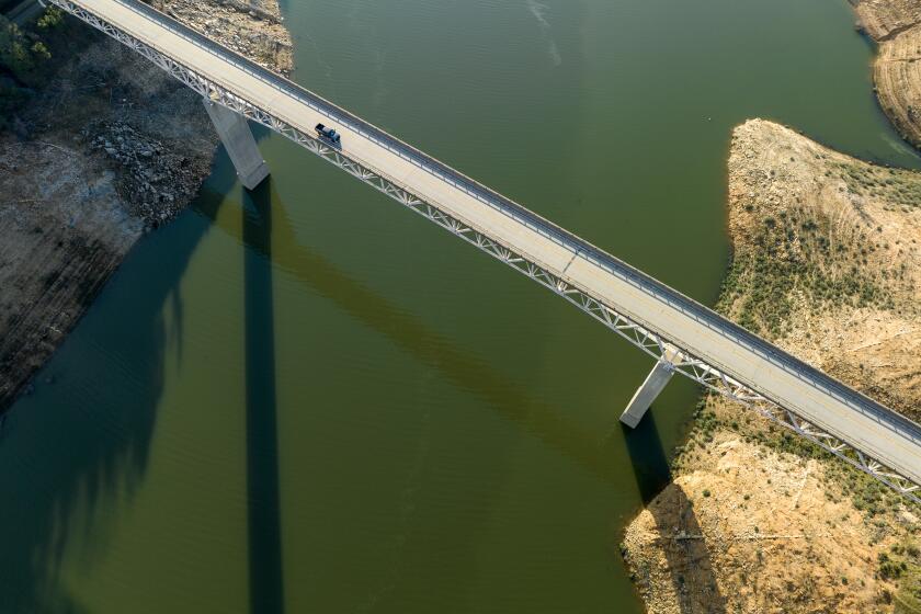
Photos from the California Department of Water Resources show how water levels rose at Lake Oroville and Lake Folsom reservoirs after winter storms.
By Wednesday, snow will accumulate at elevations around 3,000 to 4,000 feet, including at the Tejon Pass.
Officials warned falling snow levels could create travel issues.
“The next storm is expected to be colder than the last, so snow levels will lower to around 3000-4000 feet by Wednesday morning. At resort level and above, 1-2 feet of snow is expected. Light snow up to 2” is possible over the Tejon Pass, so travel will likely be impacted,” the NWS said in an advisory.
“Expect plenty of water, rocks, mud on roads, and minor urban and creek flooding,” officials added.
Intense winds are also possible.
Sunny skies should return Thursday, according to the National Weather Service.
The new storm, which would be the 12th atmospheric river to hit the state this rainy season, will also hit Central California, where some areas are already under flood warning because of snow melt and swollen rivers.
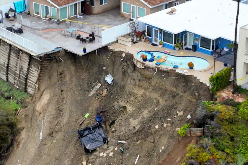
The Orange County Fire Authority evacuated three apartment buildings Wednesday morning due to a slide in the 1500 block of Buena Vista.
In Central California, residents can expect about half an inch of rain along the west side of the San Joaquin Valley, said Jim Bagnall, a meteorologist with the weather service in Hanford. The valley’s east side will see 1 to 2 inches, and the foothills will see 2 to 4 inches, he said.
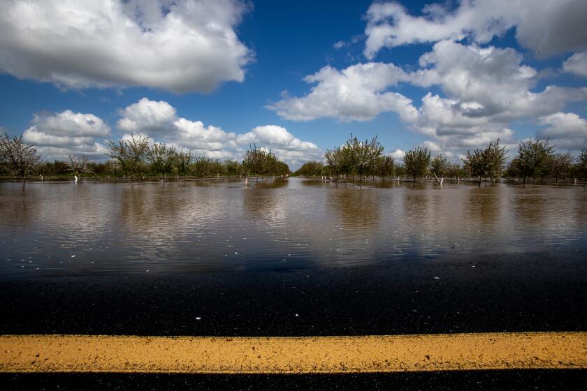
Days after the rain stopped, communities across Central California, including Porterville and Visalia, are still under evacuation orders and flood warnings.
The last storm in Southern California caused some minor flooding but also brought mudslides in Orange County that caused four homes to be red-tagged.
Officials said more heavy rain could trigger more evacuations.
More to Read
Sign up for Essential California
The most important California stories and recommendations in your inbox every morning.
You may occasionally receive promotional content from the Los Angeles Times.


