California’s scorcher: ‘Heat dome’ brings broiling conditions. But a few areas will be spared

- Share via
After months of below-average temperatures and weeks of unseasonably wet weather, California’s first heat wave of the year is marking an abrupt transition into the summer months, with record-breaking, triple-digit temperatures expected to continue the rest of this week.
The next few days — particularly Wednesday and Thursday — have been forecast as an early-season scorcher across the state’s interior, creating potentially dangerous conditions for both human health and wildfire management. On Tuesday, several cities across inland Northern California surpassed 100 degrees, including one that broke a daily record — and highs Wednesday were expected to be even hotter.
This week could offer a preview for the summer season, which is expected to see bring hotter temperatures than typical.
“We can definitely expect a warm summer as a whole,” said Brian Adams, a National Weather Service meteorologist in San Diego. There’s a strong chance for above-average temperatures statewide through at least August, including during much of June, according to the latest models from the National Weather Service’s Climate Prediction Center.
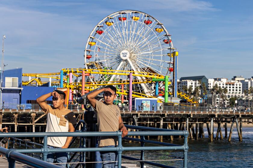
This week, the state’s inland communities will feel the most intense temperature spikes from the high pressure ridge, or heat dome, parked over California, while the coast will be largely unaffected — a strong “June gloom” still providing refuge from the heat.
An early-season heat wave will broil much of inland California this week, with highs set to top 100 from the Antelope Valley to the Sacramento Valley.
“It’s the marine layer, that’s nature’s air conditioning and this is the peak of it,” said Ryan Kittell, a National Weather Service meteorologist in Oxnard. “There’s a lot of moderation from that heat due to that marine layer. ... It’s a real steady increase [in temperature] as you go further inland.”
Kittell said the extent and length of Southern California’s marine layer will slowly start to diminish as the heat wave progresses, with Los Angeles County valleys seeing more sunshine by Thursday and Friday afternoon. But overall, the moist, low clouds will keep temperatures across much of the Southland near normal for this time of year.
Temperatures Wednesday and Thursday are expected to peak around 70 degrees at L.A. County beaches, hit the mid-70s in downtown L.A. and reach the 80s and low 90s in the valleys, Kittell said — about 5 to 10 degrees warmer than Monday, but only slightly above average for this time of year.
“We’ll never fully shake the marine layer clouds,” Adams said. “This time of year [the marine layer is] a big part of why we’re relatively spared along the coast,” a phenomenon that will be less likely when a heat wave hits in July or August.
But moving inland, a dramatic climb on the mercury is forecast for the majority of the state, with temperatures expected over 100 from Redding down to Bakersfield. Across most of interior Northern California through the southern San Joaquin Valley, officials are warning of a major heat risk Wednesday and Thursday, a level considered “dangerous to anyone without proper hydration or adequate cooling,” according to the National Weather Service.
The major heat risk also extends across the Mojave Desert through Friday, with some areas — including Death Valley National Park and Baker — facing an extreme heat risk Thursday and Friday. The agency describes the extreme level as rare, likely to affect “anyone exposed to the heat unprepared,” and potentially deadly for heat sensitive individuals. Death Valley is forecast to drop only into the 90s at night, providing little reprieve.
National Weather Service officials are newly highlighting the serious and potentially deadly health effects from extreme heat, which is becoming more frequent and turbulent because of human-caused climate change. The agency’s urgent warnings focus primarily on vulnerable populations, such as newborns, children, the elderly, and those pregnant or with chronic illnesses, reminding residents to stay hydrated, avoid the heat of the day and use air conditioning.
Gov. Gavin Newsom announced Tuesday that the state had activated part of its Extreme Temperature Response Plan, triggered by weather service advisories, which “moves the state into action to coordinate an all-hands response by the state government,” the governor said in a press release. The plan includes tracking and sharing available cooling centers and promoting safety tips and resources.
“Everywhere will see noticeable warming, but the most significant and potentially hazardous heat will be ... inland,” Kittell said.
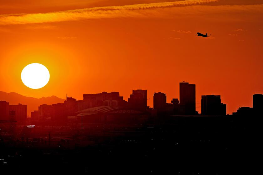
A powerful high-pressure ridge will bring unusually hot temperatures to the Golden State by the middle of this week, before spreading into the Pacific Northwest.
In Southern California, the Antelope, Coachella, Apple and Lucerne valleys will see the most intense temperatures, with highs expected between 100 and 113 Wednesday, Thursday and Friday.
“It’s roughly 10 to 15 degrees above average,” Adams said, noting that this time of year typically brings temperatures in the high 80s or 90s across the Southern California deserts.
Weather officials upgraded the Antelope Valley and its surrounding foothills to an excessive heat warning for Wednesday and Thursday, advising that temperatures up to 107 degrees are possible as are “warm overnight low temperatures.” The Apple and Lucerne valleys are under a similar advisory, with temperatures up to 106 degrees possible.
“Those temperatures are almost typical for the hottest part of the year out there in the desert, but for early June, it’s abnormal,” Kittell said. “The same temperatures in August, we wouldn’t be warning people about it ... [but now] there’s been less time to get acclimated.”
For the record:
1:26 p.m. June 5, 2024An earlier version of this article indicated record temperatures were expected in Lancaster and Palmdale on Thursday, June 6. Daily highs of 105 degrees were expected on Wednesday, breaking the historical June 5 high of 103 degrees.
Lancaster and Palmdale are both forecast to break daily high temperature records Wednesday at 105 degrees; both cities have historical highs on June 5 at 103 degrees, according to the weather service.
Extreme heat is becoming more frequent and more severe. Here’s how much hotter it could get in California and the West.
Farther east, even more intense heat Thursday could also set records, with Death Valley National Park expected to tie its daily historical high at 121 degrees; Needles, close to the Arizona border, could slip past its June 6 record if it hits 115 degrees as forecast; and Bishop, south of Mammoth Lakes, could surpass its record by 2 degrees with its forecasted 104-degree high, according to the National Weather Service in Las Vegas.
Across the San Bernardino and Inyo county deserts, an excessive heat warning is cautioning about “dangerously hot conditions for early June” from Wednesday through Friday. Temperatures are expected to hit 116 degrees around Lake Mead and Lake Havasu City, 114 degrees in the Morongo Valley and up to 122 degrees in Death Valley — highs that have all inched higher since prior forecasts.
“As the heat builds day by day there will be little relief during the overnights, especially within the Las Vegas valley and Death Valley National Park,” the warning said.
The San Joaquin Valley is also under an excessive heat warning from Wednesday through Friday, with highs from 103 to 108 expected and the possibility for several cities to break or tie some daily records. Fresno is likely to break its historical June 6 high by 1 degree, with its high Thursday forecast at 108 degrees, while Madera could tie its record of 107 degrees. The Mojave Desert and Indian Wells Valley has been warned to brace for highs up to 111 degrees.
In Northern California, the heat wave began warming the region Tuesday, with excessive heat warnings in effect through Thursday for the Sacramento Valley and Sierra foothills. Highs there hit up to 105 degrees Tuesday, and were forecast to climb even higher Wednesday — up to 108 degrees in some locations.
At the Davis farmer’s market Wednesday afternoon, Saul Yanez was setting up to sell vegetables as the temperature soared over 100.
“It’s hot,” he said, looking out at an almost empty park, which would normally be bustling. On this day there were only a few people slowly setting up for the market and a lone squirrel, which quickly ran back into the shade.
Across the street, children and parents crowded inside the air conditioning at a frozen yogurt shop. Sarah Ruebelt brought her daughter and two other kids there after school.
“It’s unbearably hot,” she said.
Across inland North and East Bay, as well as into the state’s wine country farther north, highs in several areas pushed to 100 degrees Tuesday, according to the National Weather Service. Santa Rosa set a new a daily record high at 100 degrees, beating out the 1949 record by two degrees. Wednesday and Thursday are forecast to rival, if not surpass, those highs, according to the heat advisory issued for that region.
“There is a moderate to high risk for those who are heat sensitive, especially those without effective cooling or adequate hydration,” the National Weather Service Bay Area warned.
Even the Eureka office of the National Weather Service warned of moderate heat risk as far north as Trinity County, where interior valleys could reach 100 to 105 degrees Wednesday and Thursday.
The hot and dry conditions have raised concerns about fire risk across the state, though officials still say the state’s particularly wet winter will continue to delay the start of the most dangerous wildfires.
“We had a lot of rain over the winter, and the bigger fuels — the trees and the shrubs — are still pretty moist,” Kittell said. “Those finer fuels [mostly grasses], ... they’ve dried out a lot and we’ve already seen significant grass fires.”
Earlier this week, a grass fire broke out in San Joaquin County outside of Tracy.
Firefighters battled the 14,000-acre fire fueled by dry grasses, and crews reported it 90% contained by early Tuesday, according to the California Department of Forestry and Fire Protection. Several other small fires have occurred throughout the state, including two vegetation fires in Santa Barbara County and one in Riverside County.
“It’s mainly going to be a grass fire concern for the next one or two months,” Adams said. Such fires don’t tend to burn as hot as those involving larger plants.
Times staff writer Jessica Garrison contributed to this report.
More to Read
Sign up for Essential California
The most important California stories and recommendations in your inbox every morning.
You may occasionally receive promotional content from the Los Angeles Times.
