Heat wave, thunderstorms to raise the risk of wildfires in California

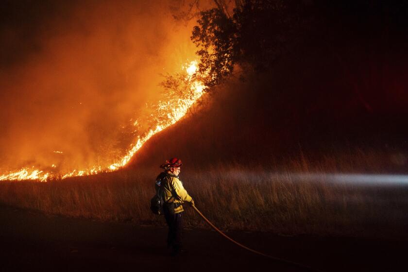
Another heat wave and more monsoonal thunderstorms are expected to increase wildfire danger in California over the weekend and into next week.
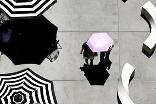
A high-pressure system is expected to expand over the western United States on Wednesday and get stronger through Friday, according to the National Weather Service. California will be spared the worst of the heat, the weather service predicted, as the system concentrates over the Rocky Mountains.
Temperatures could approach 100 degrees in Woodland Hills on Friday and 105 on Saturday or Sunday, said Mike Wofford, a NWS meteorologist in the Oxnard office. The Antelope Valley could see temperatures between 105 and 110.
“It’s gonna be a long trend but slow,” Wofford said. “It’ll be one to two degrees of warming each day.”
The weather service has recommended that people stay hydrated, take breaks in the shade and limit strenuous outdoor activities. People should also check up on the sick, elderly and those without air conditioning. Children and pets should never be left unattended in vehicles.
Monsoonal thunderstorms could develop Thursday night into Friday across metro areas from L.A. all the way into Santa Barbara, the weather service said. Mountain areas can expect to see thunderstorms in the afternoon to early evening on Friday and Saturday.
Most areas across the L.A. region won’t see rain, but some isolated areas could get a tenth to a few hundredths of an inch. “A lot of it is going to evaporate before it reaches the ground, so it’s going to be all over the map,” Wofford said.
California wildfires burned almost 90,000 acres already this year, an amount more than five times the average of pre-summer blazes from the last few years.
The weather service is expected to issue a fire weather watch — meaning that there is a high chance for extreme wildfire danger in the next 48 hours — for the mountain areas of the Santa Clarita Valley, Wofford said. Those are the driest areas with the greatest potential for fires as a result of dry lightning strikes.
“You just have to stay indoors,” Wofford added. “You can’t really do much about that. We’re not expecting a lot of rain falling, so when the lightning strikes on dry grass, it could spark a fire.”
More to Read
Sign up for Essential California
The most important California stories and recommendations in your inbox every morning.
You may occasionally receive promotional content from the Los Angeles Times.


