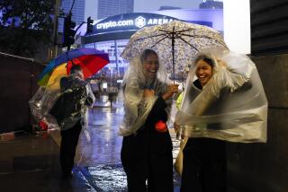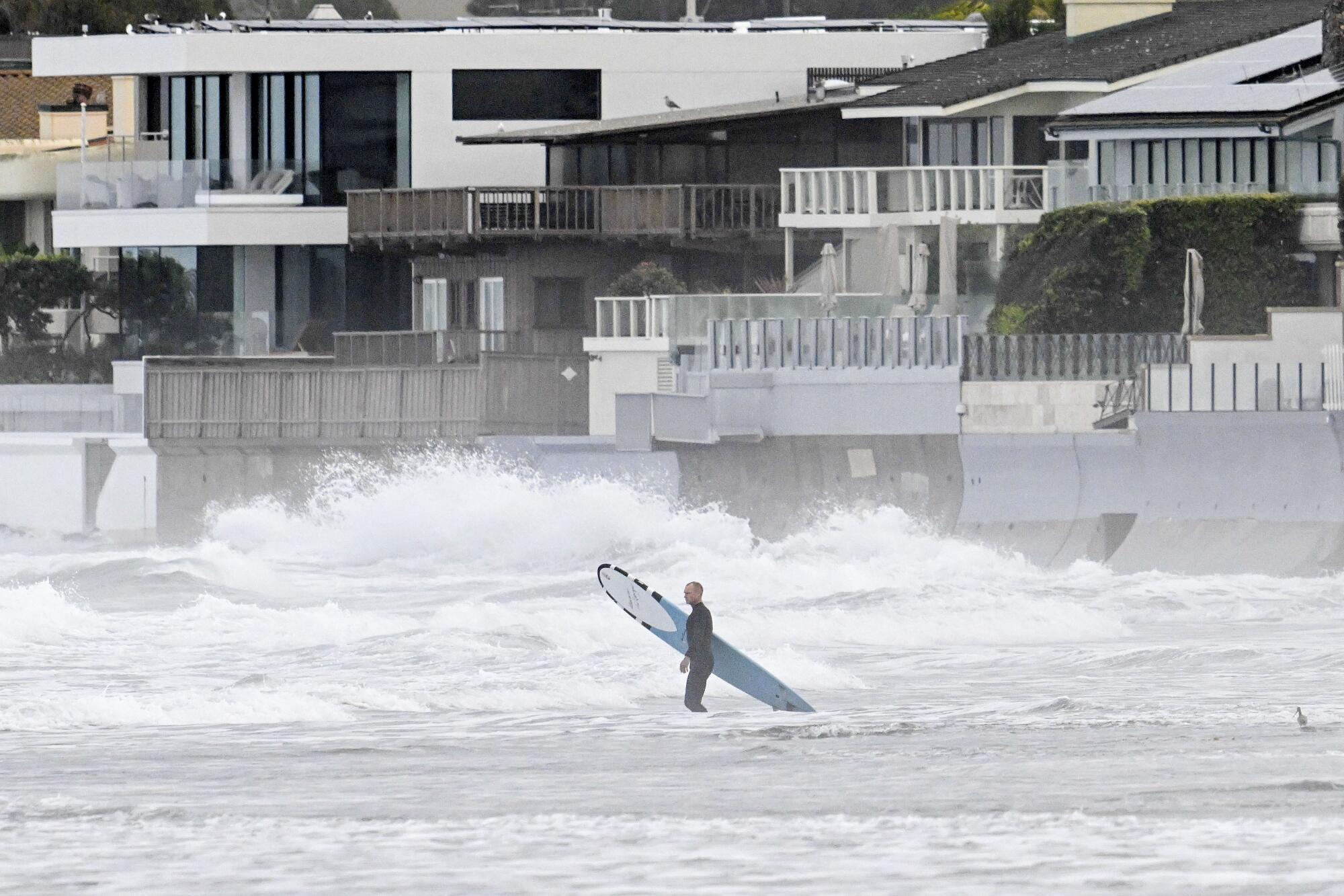
Weather officials had been warning Californians about the wrath of El Niño for months — even as some residents had begun to think the typically soaking climate pattern had gone AWOL.
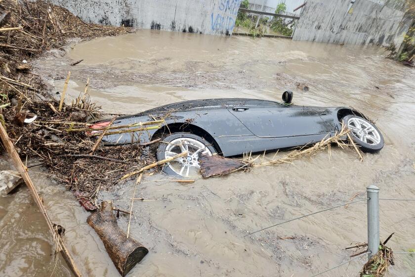
But after an anemic start to the state’s rainy season, those admonitions have come to bear in brutal fashion as fast-moving storms have inundated portions of Ventura, Los Angeles and San Diego counties, flooding neighborhoods, spurring water rescues, triggering evacuations and stunning experts with their strength and magnitude.
Aggressive and impactful reporting on climate change, the environment, health and science.
On Dec. 21, a storm barreled through Oxnard and delivered a month’s worth of rain in less than an hour, officials said. And this week, a similarly historic event drenched San Diego with more rain in a few hours than the area typically sees in all of January.
Both were called “thousand-year events” — or events with 0.1% likelihood in a given year — and prompted Gov. Gavin Newsom to declare states of emergency. Now, as Southern Californians continue to recover from the buffeting, some experts warn that El Niño, climate change and seasonal patterns have made such storms more likely to occur than ever.
“At what point do we recognize that what’s actually happening is essentially, in terms of extremes, what the science has been telling us we should expect?” said Marty Ralph, director of the Center for Western Weather and Water Extremes at the Scripps Institution of Oceanography at UC San Diego.
“The idea that climate change is causing the wet and dry periods to become more extreme for California — that’s what the models have been predicting, and that’s what’s been happening,” Ralph said.
Ralph noted that the last decade has seen some of the wettest, driest, snowiest and least-snowy years ever recorded in the state. Such swings between extremes have been referred to variously as weather whiplash, climate whiplash and hydrologic whiplash.
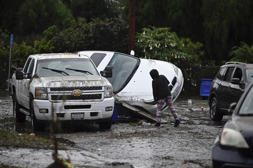
Hundreds of San Diego homes and businesses were damaged or ruined in devastating floods after punishing rainfall fell Monday during a ‘thousand-year storm.’
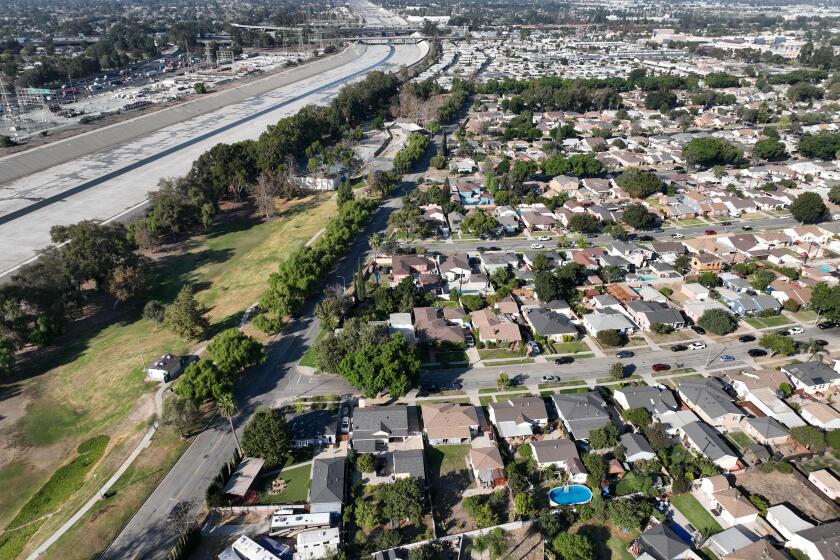
In San Diego on Monday, historic rainfall overwhelmed streets and stormwater infrastructure as 2 to 3 inches of rain — in some cases more than 4 inches — fell in just a few hours, causing extreme flooding across the area, especially in certain southeastern neighborhoods.
“We’re still in the cleanup phase and trying to identify all the homes that were affected,” said José Ysea, a spokesperson for the city. “We know hundreds of people have been displaced.” The city does not yet have even a ballpark estimate of the number of homes and businesses that were damaged or ruined, he said.
Official rain gauges at San Diego International Airport measured 2.73 inches from the storm — the site’s fourth-wettest day on record. The rainfall accounted for more than 25% of what the site would normally get in an entire year, and it fell mostly over the course of six hours.
It was an extraordinary event that occurred only because a host of meteorological circumstances came into rare synchrony, said Elizabeth Adams, a meteorologist with the National Weather Service in San Diego.
“In winter, we’ll see these big storm systems that are moving in from the northern Pacific … but by the time they get to Southern California, a lot of that moisture is gone,” Adams said, pointing to last winter’s epic stream of atmospheric rivers that pounded the North and Central Coast.
But Monday’s storm took a direct route toward northern Baja California and southwestern California, she said.
“Basically all of the moisture was concentrated on this area, which doesn’t happen a lot of the time,” Adams said. She added that moisture in the atmosphere was 250% to 350% of normal, which exacerbated conditions. “All the factors aligned really well to produce that heavy rainfall in San Diego.”
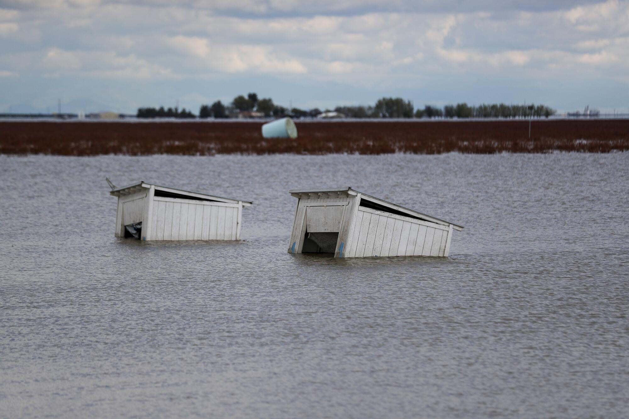
Similar conditions paved the way for December’s deluge in Oxnard, as well as a bout of extreme rain that fell in Santa Barbara in 1998, which also caused severe flooding, Ralph said.
Research into the 1998 event found that offshore ocean temperatures were 2 to 4 degrees above normal as the storm moved in — an increase partly attributed to that year’s El Niño — which added heat, energy and moisture to the atmospheric river, he said. The same pattern appears to have repeated itself during December’s storm, only this time, ocean temperatures were as high as 8 degrees above normal.
“Because that tongue of warm water is part of the strong El Niño pattern in the ocean, I would say that El Niño did add energy to the storm right at the coast in that very specific way,” Ralph said.
He could not say how much of a role climate change may have played in that storm. However, ocean temperatures have been on the rise as the planet warms, and global ocean heat content set a record high in 2023, according to the National Oceanic and Atmospheric Administration.
Researchers say flooding from a 100-year storm could impact up to 1 million people in and around Los Angeles, 30 times more than previously estimated.
Despite these recent storms, this winter’s rainfall has paled in comparison with last year’s, when 31 atmospheric rivers pummeled the state between October and March. The storms, which hit hardest in Northern and Central California, caused major levee breaks, refilled long-dry Tulare Lake and contributed to at least 22 deaths.
Since the start of the water year on Oct. 1 through Tuesday, the South Coast region that is home to Ventura, Los Angeles and San Diego has received 5.71 inches of precipitation, or 74% of average for the period, according to state data. At the same time last year, the region had received 15.6 inches of precipitation, or 201% of average.
That’s mainly because the first three months of this water year were relatively dry, said Jay Lund, director of the Center for Watershed Sciences at UC Davis.
“California’s 2024 Water Year could still be quite dry and/or bring floods, but it seems unlikely to become among California’s wettest years, if only because the water year’s first months have been dry,” Lund wrote in a blog post this week.
“Extreme wet years usually require all wet season months to be wet,” he said.
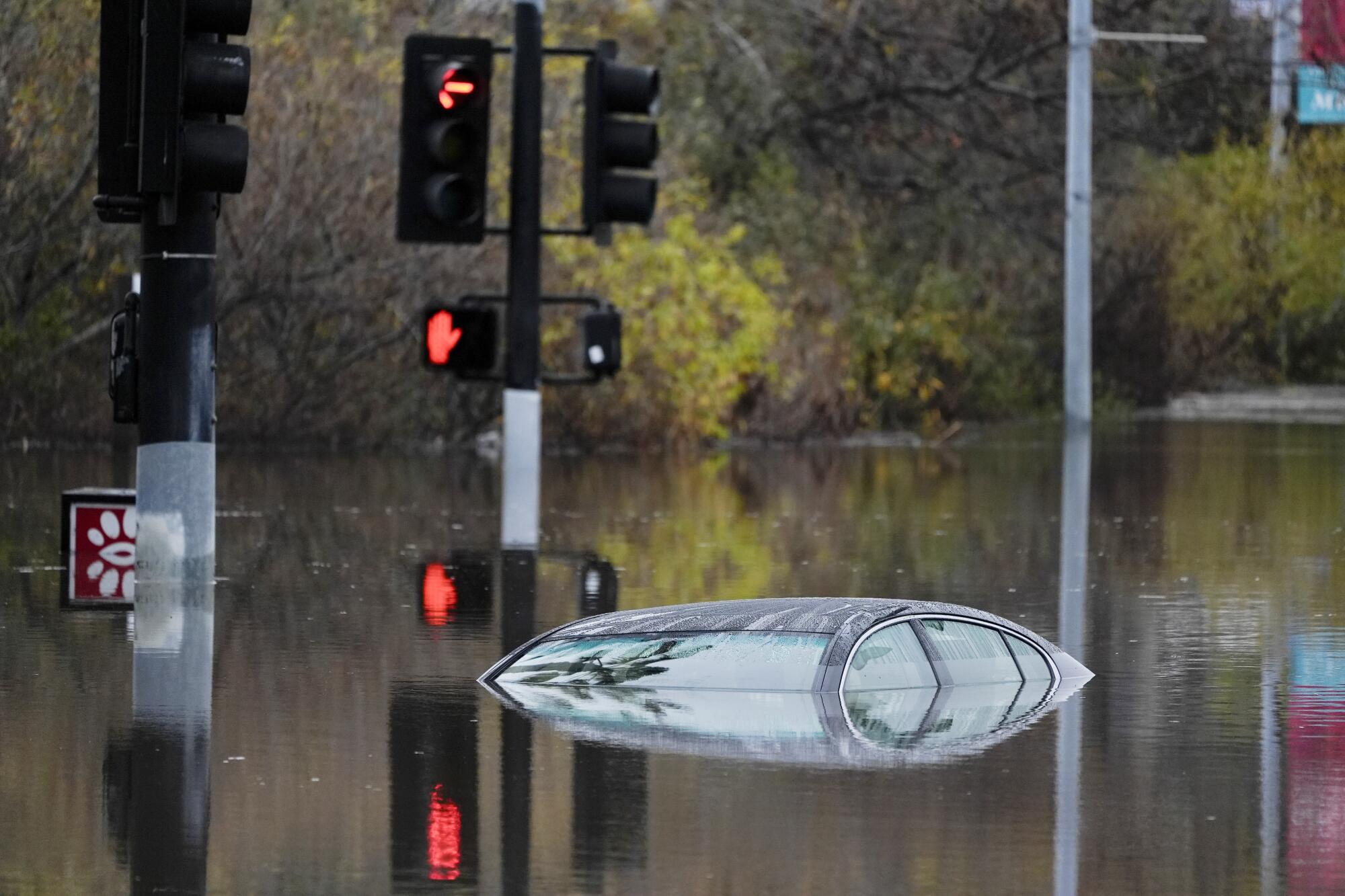
However, there are still at least two months left in the rainy season, and conditions could change suddenly. An “impactful atmospheric river event” is expected to move south along the West Coast from Jan. 31 to Feb. 5, bringing heavy rain, significant snow and high winds, said Brad Pugh, a meteorologist at the National Weather Service’s Climate Prediction Center.
The Climate Prediction Center‘s latest outlook warns of a high risk of heavy and potentially hazardous precipitation across California and Arizona during those six days. Forecasters warned of localized flooding and landslides, “particularly in regions that have recently received heavy rains.”
That storm, and another following it, could drop as much as 15 inches of precipitation in the Pacific Northwest over the next 10 days, Ralph said. They are expected to be intense storms — possibly level 3 or 4 out of 5 in the atmospheric river ranking system — which indicates the potential for tens or even hundreds of millions of dollars in damage, he said.
Heavy rains early Monday caused significant flooding across San Diego, closing major roadways, shutting down bus lines and causing power outages.
In San Diego’s Southcrest neighborhood on Wednesday, families were still sifting through flooded homes, trying to salvage what wasn’t ruined in the almost 5 feet of water that many took on.
“We’re just right now cleaning everything and basically throwing everything out,” said Martha Navarro, 34, who had to swim from her home Monday morning as she rescued her dog from the rising floodwaters. She said her home, along with those of many neighbors, reeks of sewage and mold. Almost everything is waterlogged, she said.
“It’s basically everything that we own, and now we have to start basically all over again,” the first-time homeowner said. “Our floorboards are lifted because of the water, our walls are warping, our drawers in our kitchen, they don’t even open anymore.”
And there may be even more moisture on the horizon — particularly in Southern California, where the odds tilt toward wetter-than-normal conditions through April, according to NOAA’s seasonal outlook.
While such stormy conditions can be deadly and destructive, they also provide much-needed water. Last year’s rains ended three punishing years of drought in California, and the state’s major reservoirs are currently at 115% of their historical average for the date.
“California and the southwest U.S. has far more variable annual precipitation than anywhere else in the country, and these atmospheric river storms are the primary storm type that determines whether it’s going to be wet or dry,” Ralph said. “And they can be both a blessing and a curse.”

