Whittier fire in Los Padres National Forest grows to more than 17,300 acres
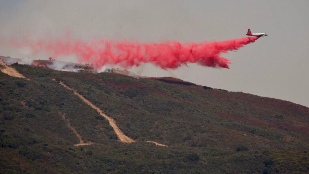
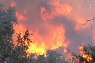
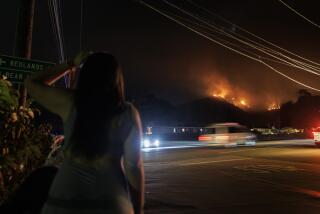
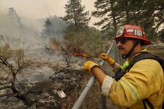
The Whittier fire burning in Los Padres National Forest in Santa Barbara County has grown to more than 17,300 acres, which officials attributed Saturday in part to a combination of low humidity, high temperatures, steep terrain and brush fueling the fire on its southern flank.
As of Saturday evening, the fire was 36% contained, officials said.
The increase in the amount of acreage burned — about 4,000 acres overnight Friday — was partly due to controlled burns set to reduce the amount of fuel available in the fire’s path, said Mike McMillan, a Whittier fire information officer. Fire officials had prepared for severe “sundowner winds” Friday night but they turned out to be mostly mild, McMillan said.
“We had a very calm night as far as the fire behavior goes and that’s because the wind never really picked up,” he said.
The fire burned mainly in areas above the marine layer, McMillan said.
Similar weather patterns expected for Saturday and Sunday — warm temperatures and low humidity — could prove problematic if winds become erratic, according to the National Weather Service.
Fire and sheriff’s officials concerned about the weather’s impact on the blaze issued evacuation orders Friday evening for additional areas near Paradise Canyon Road from Highway 154. Those orders remained in place Saturday.
A massive high-pressure system over the U.S. Southwest has caused temperatures to rise throughout California, including in burn areas, officials said. The system also generated breezy conditions that fanned wildfire flames, which were mostly fueled by thick brush.
The sundowner winds expected again Saturday night could further hamper firefighting efforts, particularly in the steep terrain of the national forest, officials said. Strong offshore winds could push the fire toward populated areas.
But fire crews are prepared if that should happen , officials said.
A cooldown isn’t expected until Monday.
The cause of the Whittier fire remains under investigation. Since it erupted on July 8 along Highway 154, the fire has destroyed eight homes and 12 outbuildings and prompted officials to issue a mandatory evacuation order for 2,600 people. Currently, 1,615 fire personnel are battling the blaze.
Meanwhile, the 28,687-acre Alamo fire near Santa Maria was 93% contained as of Saturday morning, according to the California Department of Forestry and Fire Protection. The blaze has destroyed one home and damaged one structure.
Hundreds of people fled the area when the fire broke out July 6 off Highway 166 near Twitchell Reservoir in San Luis Obispo County. Evacuation warnings remain for Tepesquet Canyon residents only.
Follow Cindy Carcamo on Twitter @thecindycarcamo
ALSO
Deadly Hawaii fire raises concerns about lack of sprinklers in older high-rises across the U.S.
Firefighters battle 15-acre brush fire in Newhall that triggered evacuation of paintball facility
Firefighters battle two-acre vegetation fire in Elysian Park
UPDATES:
6:40 p.m.: This article was updated with new information about acreage burned and containment.
This article was originally posted at 1:50 p.m.
More to Read
Sign up for Essential California
The most important California stories and recommendations in your inbox every morning.
You may occasionally receive promotional content from the Los Angeles Times.
