Live updates: Pounding rain unleashes mud flows across fire-ravaged areas
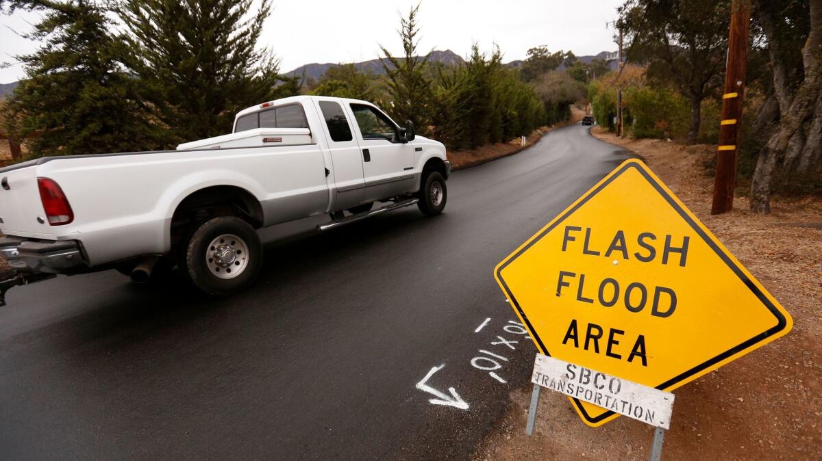
(Al Seib / Los Angeles Times)
Heavy rain overnight has triggered a series of road closures and mud flows in Southern California. As of 5 a.m., at least 5 inches of rainfall had been collected in a gauge north of Ojai in Ventura County, in the burn area of the Thomas fire. Here’s what you need to know:
Santa Barbara and Ventura counties:
- Evacuations: Residents in burn zones in Santa Barbara and Ventura counties were ordered to leave.
- The 101 Freeway was shut down in both directions in the Thomas fire burn area as of 5 a.m. due to flooding and debris flow, according to the California Highway Patrol.
- Route 33 has also been closed between Fairview and Rose Valley roads north of Ojai, according to the Ventura County Sheriff’s Department.
Los Angeles County:
- Evacuations: Residents in Kagel Canyon, Lopez Canyon, Little Tujunga and an area of Duarte were ordered to evacuate. In Corona and Burbank burn areas, residents were put on notice that they may have to leave if conditions worsened.
- A multi-vehicle crash forced a shutdown early Tuesday of the northbound 5 Freeway near Griffith Park. One person was killed.
- A mudslide caused officials to close Topanga Canyon near the Pacific Coast Highway early Monday.
- Flooding in La Conchita also caused sections of the 101 to be closed, authorities said.
ALSO
Maps show the mudslide and debris flow threat from the Thomas fire
Infographic: How mudslides form after a fire
How to drive in the rain: A guide for Southern Californians
More to Read
Sign up for Essential California
The most important California stories and recommendations in your inbox every morning.
You may occasionally receive promotional content from the Los Angeles Times.
