Atmospheric river brings storm and flash flood warnings to fire-ravaged wine country

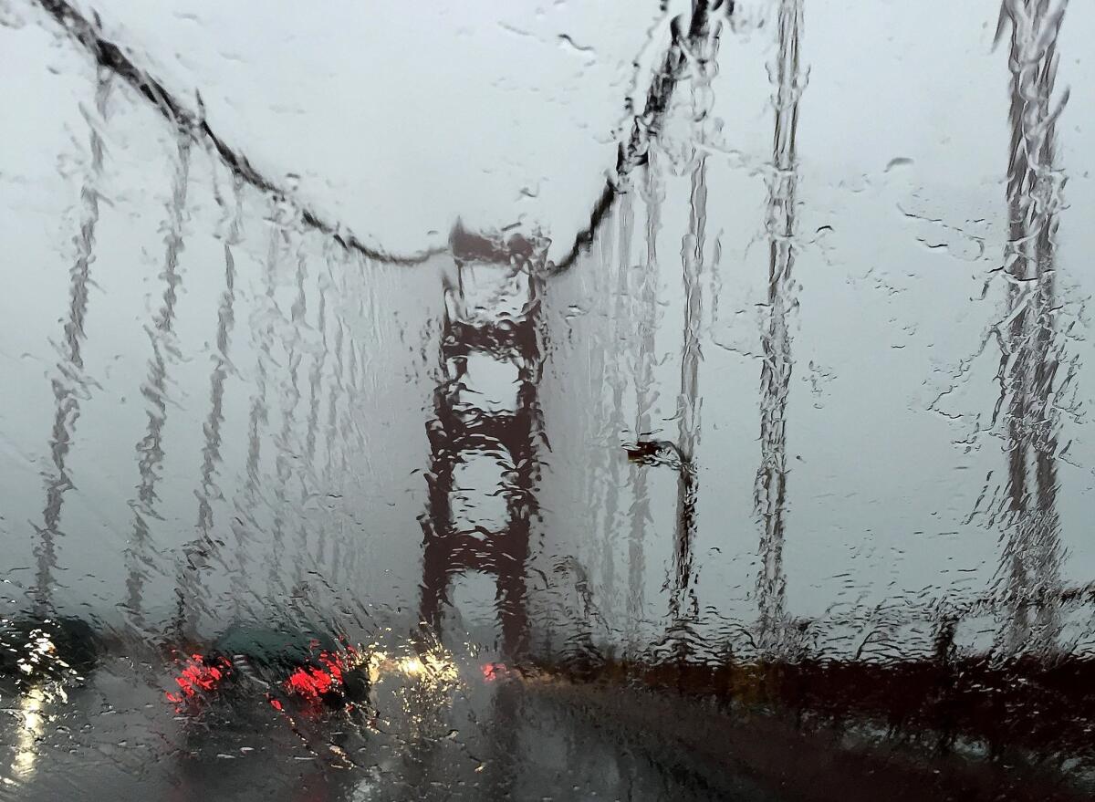
The first atmospheric river-fueled storm of the season is expected to make landfall in California on Wednesday afternoon, when it will dump inches of rain in the Bay Area, disgorge up to a foot of snow over the Sierra Nevada and likely trigger flash floods in fire-scorched wine country.
The National Weather Service issued a flash flood warning from 4 p.m. Wednesday to 3 a.m. Thursday for those areas of Sonoma and Napa counties that were scorched by a multiple wildfires in October.
Rain could fall at a rate of about one-half-inch an hour -- heavy enough to trigger flash floods, according to National Weather Service meteorologist Anna Schneider.
Affected areas include the recent Atlas, Tubbs, Nuns and Pocket burn scars, as well as the Fountaingrove neighborhood in northeast Santa Rosa, the weather service said. Effects include debris flow, mudslides, and flash flooding in and around the recent burn scars.
Forecasts say the storm could drop 3 to 5 inches of rain in the coastal mountains and less in the Central Valley, while also bringing 50 mph wind gusts. The storm will move south and is forecast to drop to 11 inches of snow across the central Sierra with some areas accumulating up to 34 inches, the National Weather Service said.
As the storm approached Tuesday, Caltrans announced it had closed two state routes through the northern Sierra and limited driving on another to chains-only ahead of the storm.
Still, Schneider said, this upcoming atmospheric river is “weak compared to how bad they could be.”
California’s drought-busting 2016-17 winter was fueled by more than 30 atmospheric rivers – Pacific-based storms that are hundreds of miles wide and can hold as much water as the mouth of the Mississippi River. Those storms replenished dwindling surface-level water reserves and packed record amounts of snow onto the Sierra Nevada.
Though this water year (Oct. 1 – Sept. 30) isn’t off to as fast a start as last winter, it’s still not too shabby, said state climatologist Michael Anderson.
“The rainy season is back,” Anderson said.
The government’s fourth Climate Science Special Report, released Nov. 3, said California will likely see more intense atmospheric rivers with greater frequency in the future because of climate change.
The storm should hit the entire northern half of the state by Friday and pack enough moisture to wet the ground after the hottest summer in recorded history, Anderson said. Early seasonal rain helps create a foundation for the winter snowpack to pile onto – a precious liquid resource for farmers when it melts in the spring and summer.
The edges of the system may bring light rain to Ventura and northern Los Angeles counties Thursday.
For breaking California news, follow @JosephSerna on Twitter.
More to Read
Sign up for Essential California
The most important California stories and recommendations in your inbox every morning.
You may occasionally receive promotional content from the Los Angeles Times.


