Powerful storm causes widespread flooding in Northern California, evacuations in Sonoma County and neighboring Nevada
- Share via
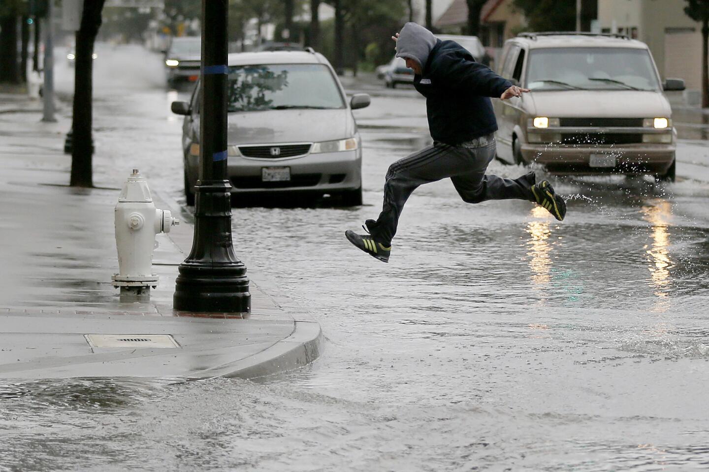
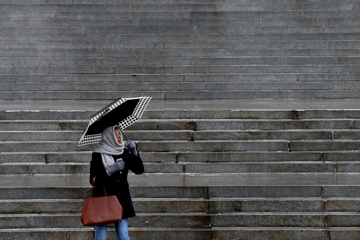
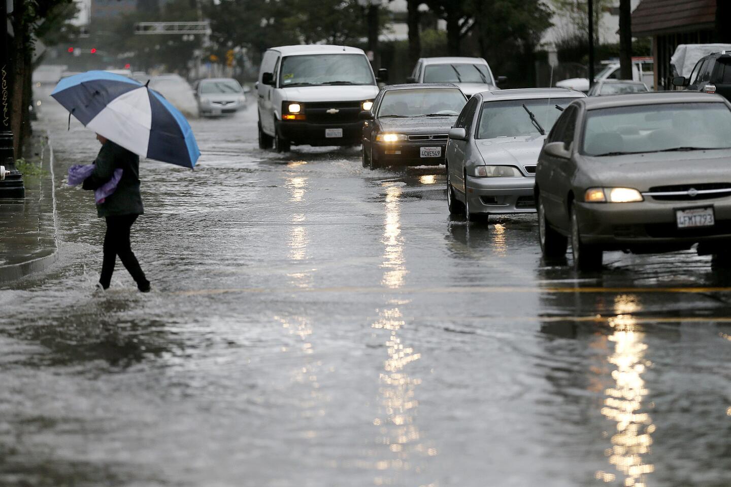
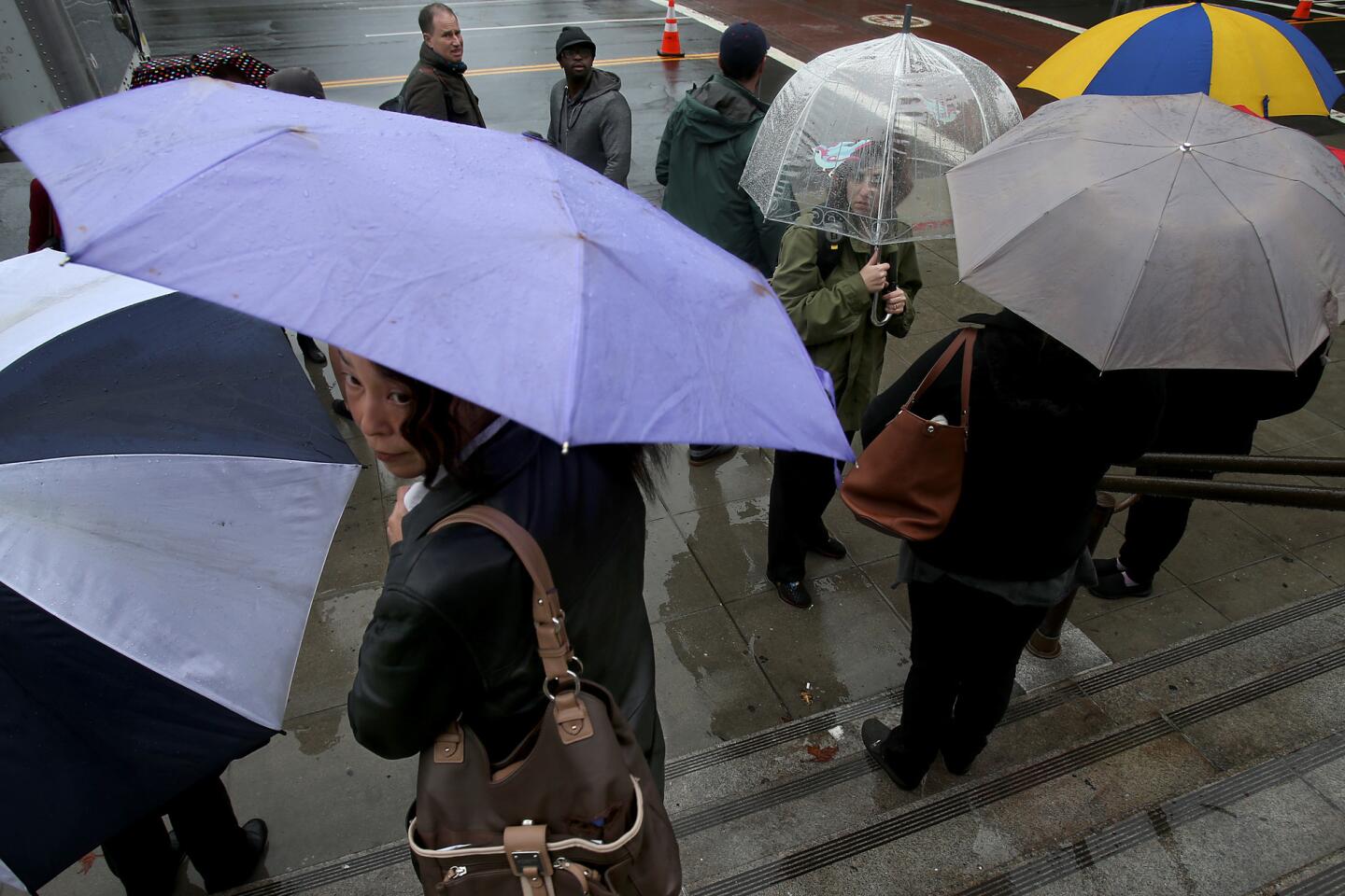
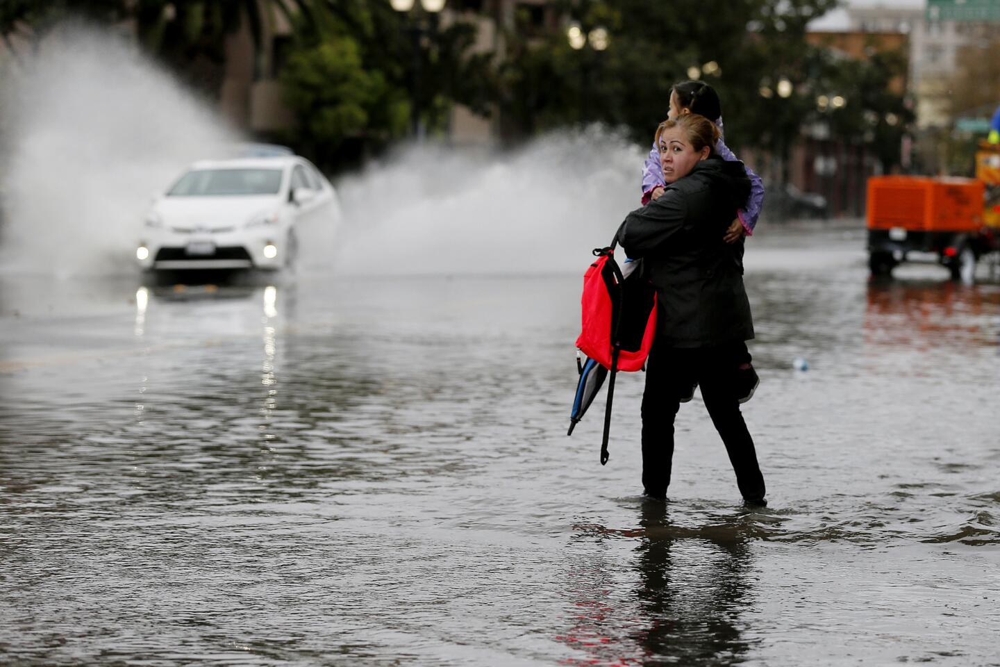
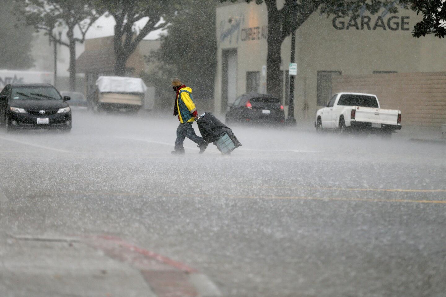
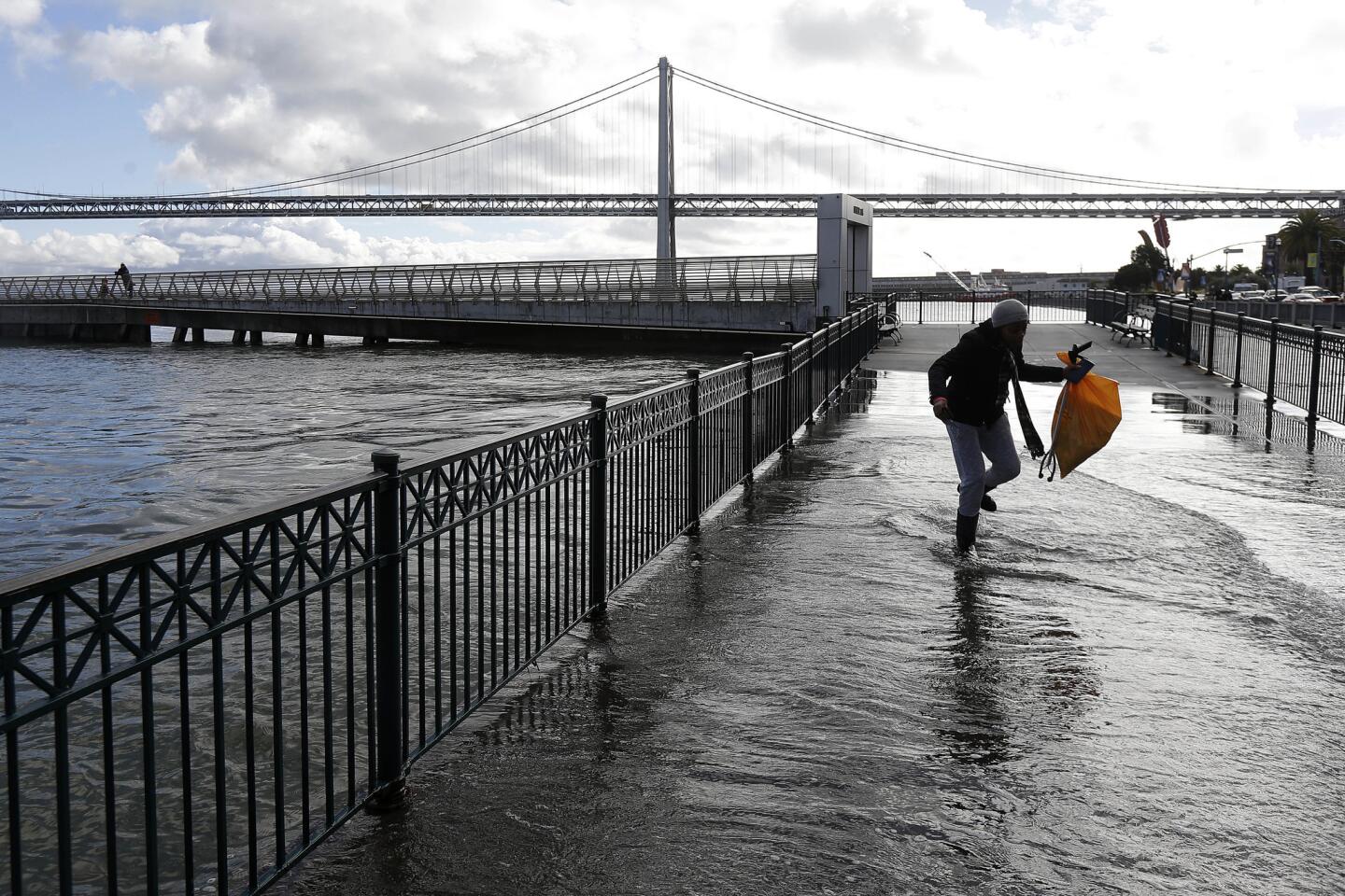
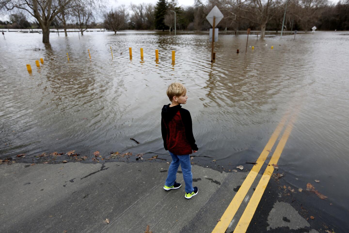
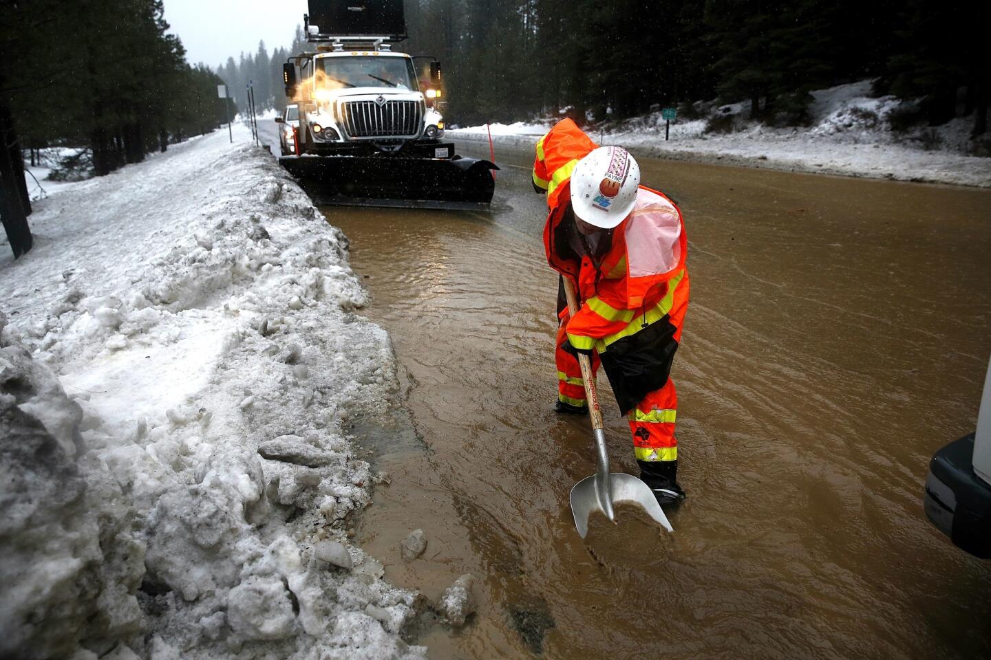
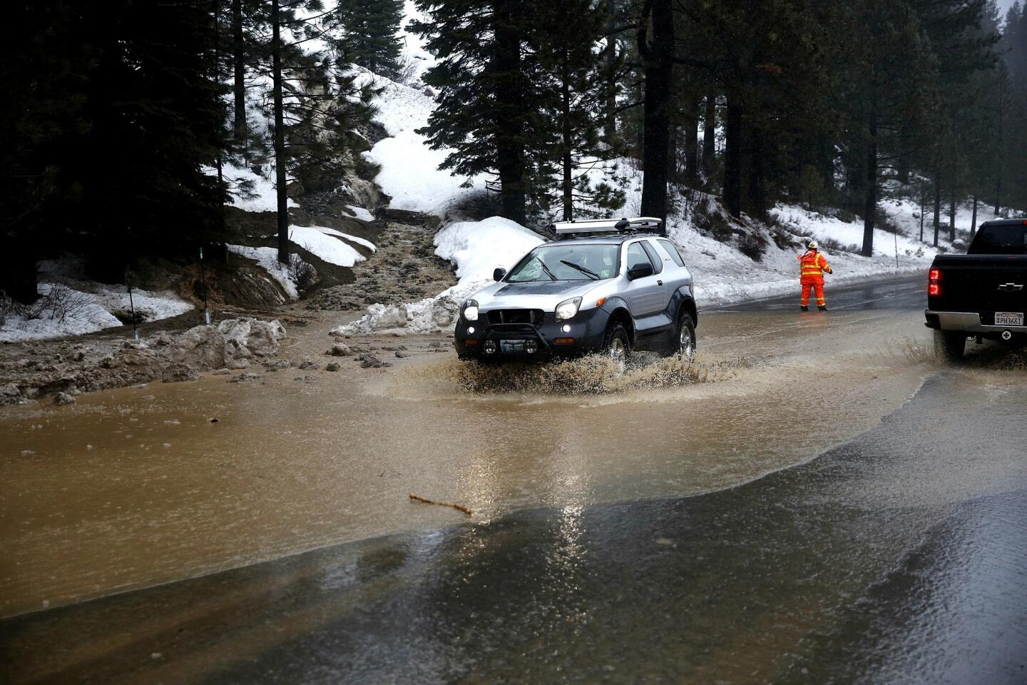
Reporting from Truckee, Calif. — The first band of what forecasters predict will be the region’s most powerful storm in a decade continued to pummel Northern California on Sunday, causing flooding throughout the region and prompting evacuations in Sonoma County and parts of neighboring Nevada.
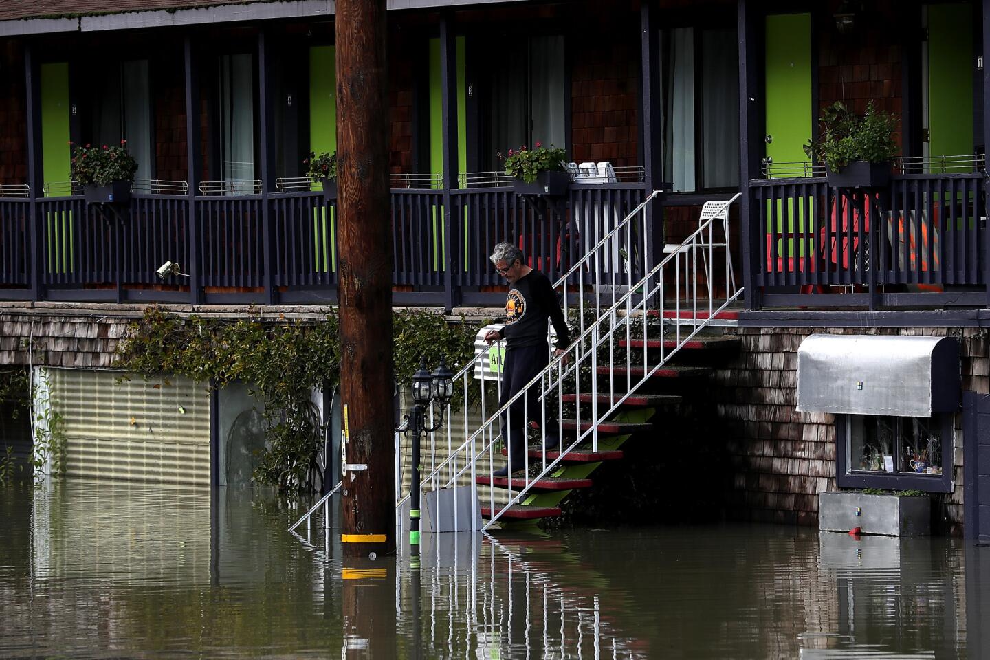
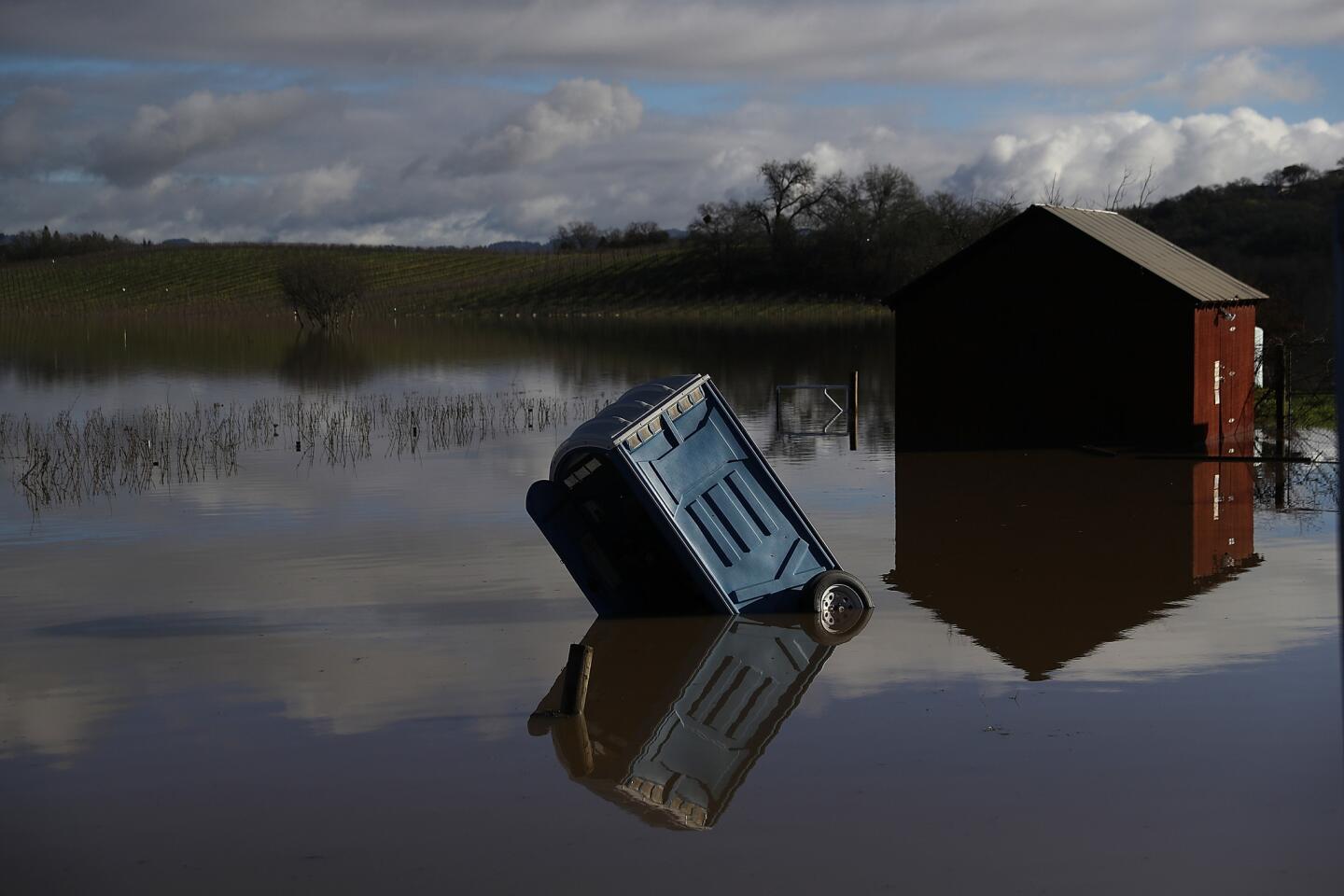
Emergency officials voluntarily evacuated 650 homes in the low-lying communities of Monte Rio and Guerneville in Sonoma County as the Russian River continued to rise Sunday evening. The river is expected to peak at noon on Monday and will probably remain at or above flood levels through Tuesday morning, officials said.
Authorities said nearly 400 homes in Reno and other areas of Washoe County, Nev., were voluntarily evacuated Sunday due to widespread flooding that is expected to worsen overnight and into Monday.
Officials expect the Truckee River to crest 1 to 2 feet above flood stage by 10 p.m. on Sunday in Reno and reach its highest level at 6 feet above flood stage by 7 a.m. Monday in neighboring Sparks.
One Reno neighborhood was placed under voluntary evacuation orders because of a storm-related sewage station failure that poses a health hazard.
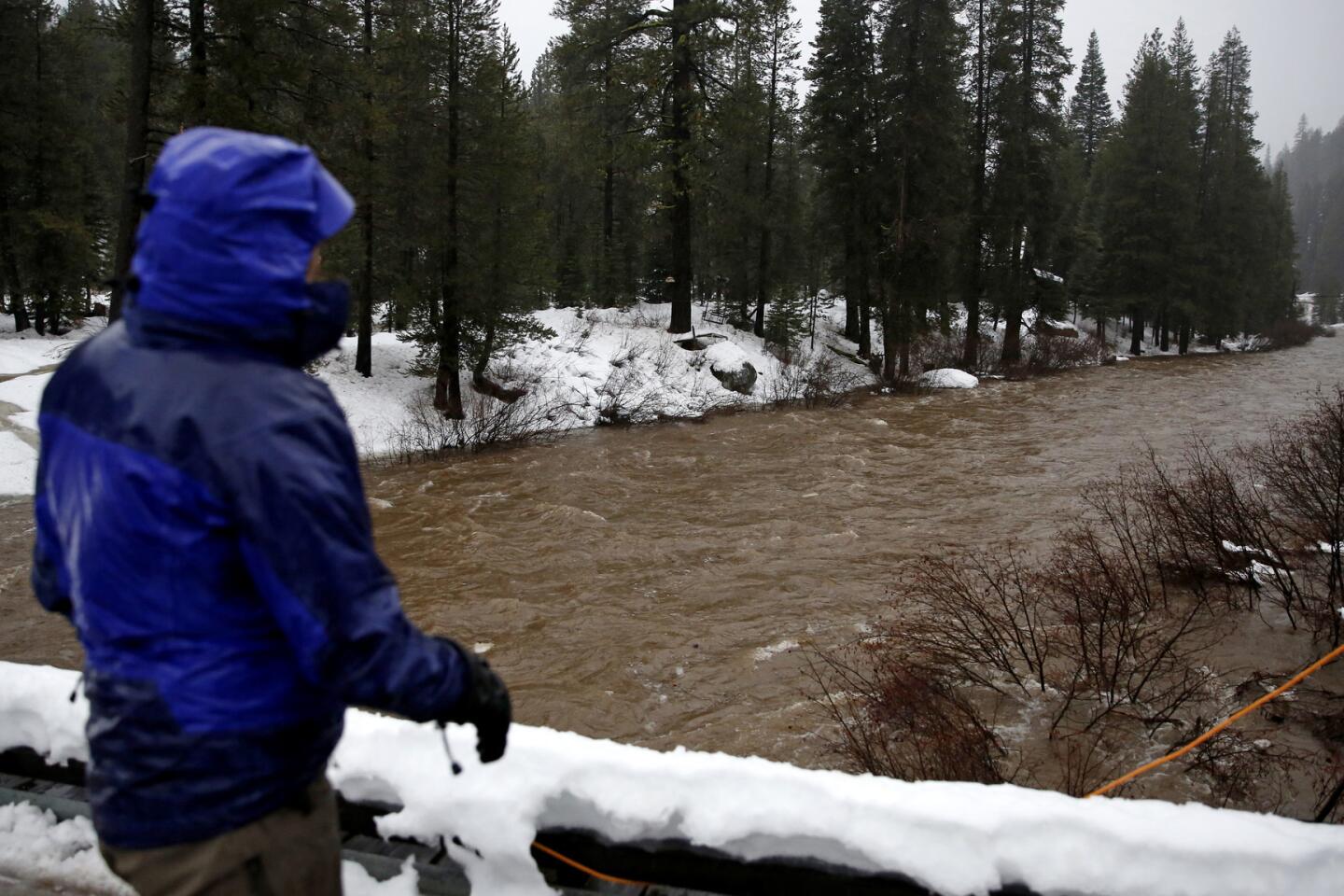
In addition to the Truckee, multiple rivers in Northern California and Nevada, including the Susan and Carson, continued to rise late Sunday, with some segments already exceeding flood stage, according to the National Weather Service.
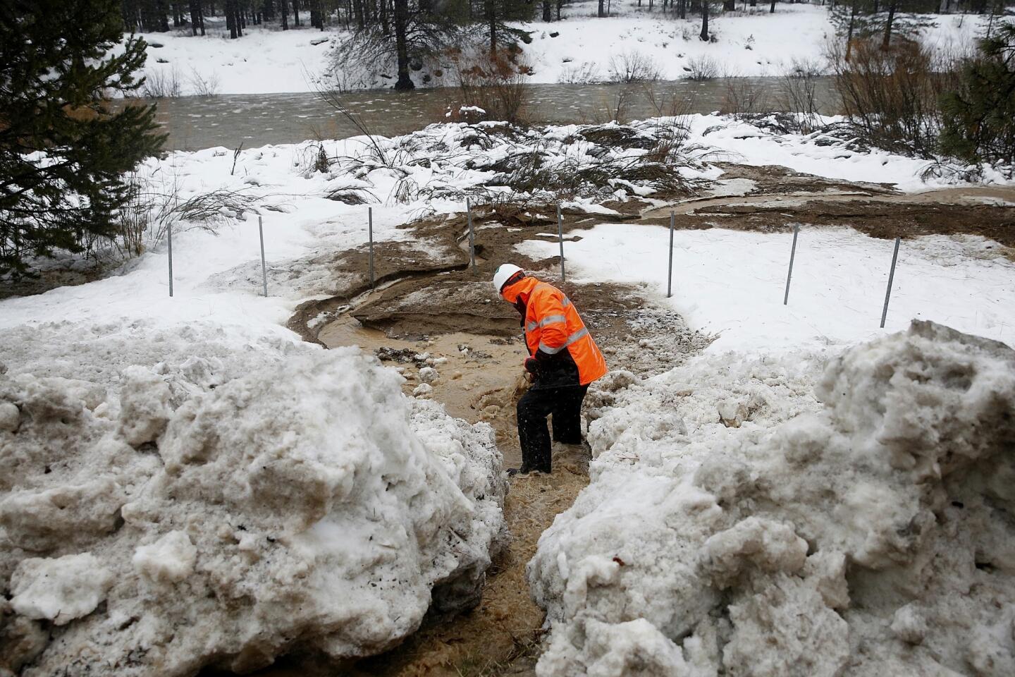
High-elevation rain and snowmelt from the warm storm was causing smaller upper tributaries to flood as well. Streams in the Lake Tahoe basin were full or spilling out of their banks Sunday evening, forecasters said.
“There’s a significant threat to life and property as we go through the next couple of days with widespread flooding, continued road closures and high water in low-lying areas,” said Mark Faucette, a National Weather Service forecaster based in Reno. “This is beyond localized flooding. This is a significant flood event.”
The Reno area is expected to experience the worst flooding in a decade.
“The last time the river flooded like this in Reno was in 2005,” Faucette said.
Officials warned the public to heed any evacuation orders and to stay out of any flooded roads or areas, especially at night when it might be difficult to see the water or determine how deep it is.
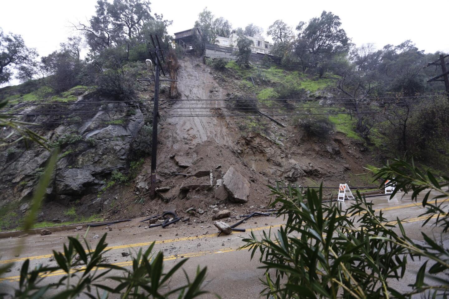
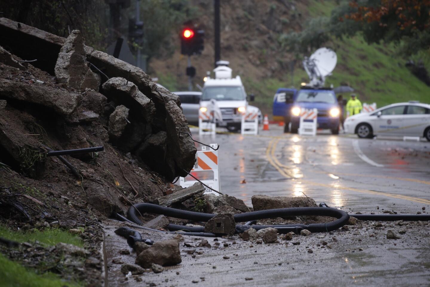
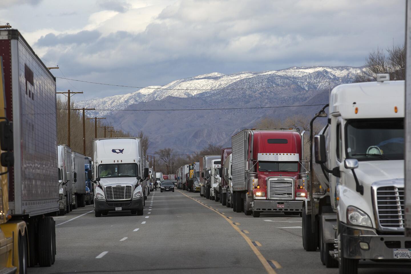
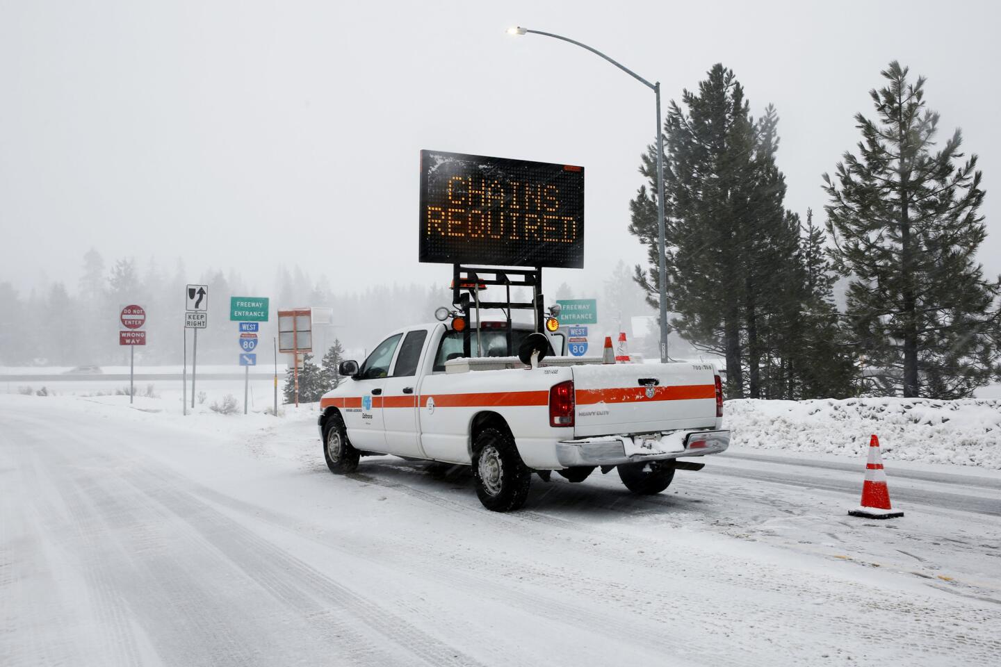
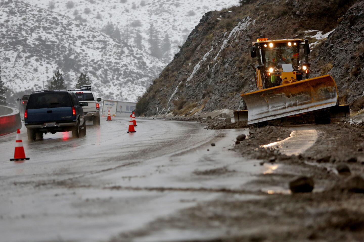
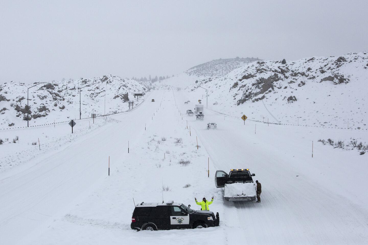
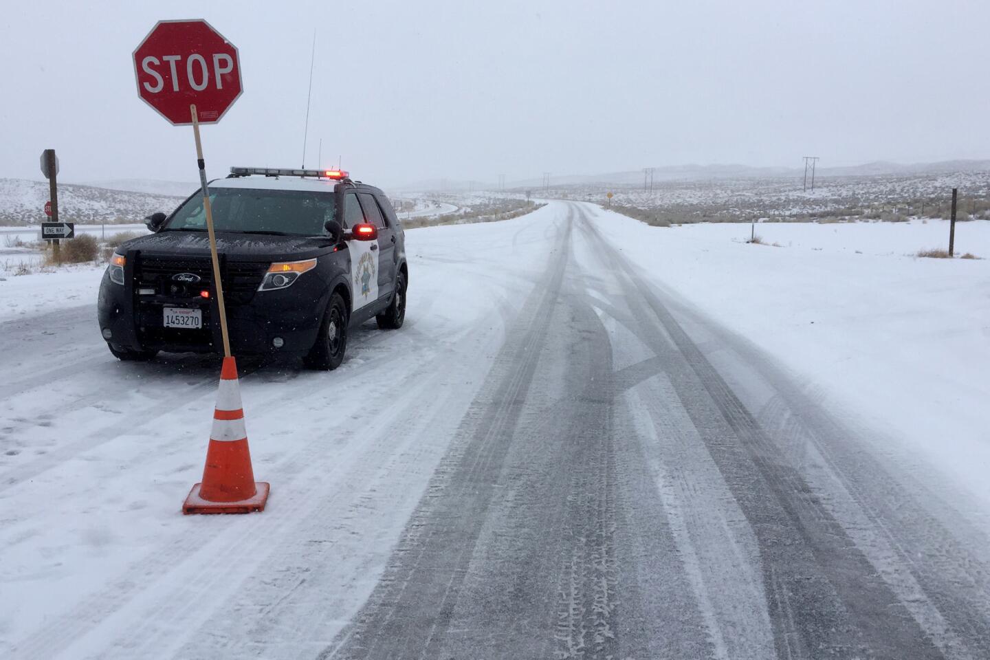
A major mudslide Sunday evening on Donner Summit, just west of Truckee, closed Interstate 80 in the Sierra Nevada in both directions, cutting off the main transportation route between Reno and San Francisco.
California Highway Patrol Officer Peter Mann said the flow of mud and rock extended across the road for about the length of a football field and was 7 feet deep in some places. Downed power lines complicated cleanup efforts and the road was expected to remain closed for hours.
“The mess just keeps getting better,” Mann said.
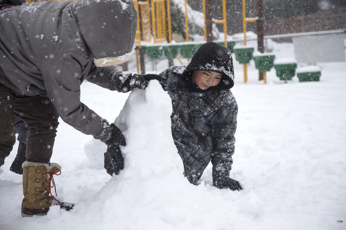
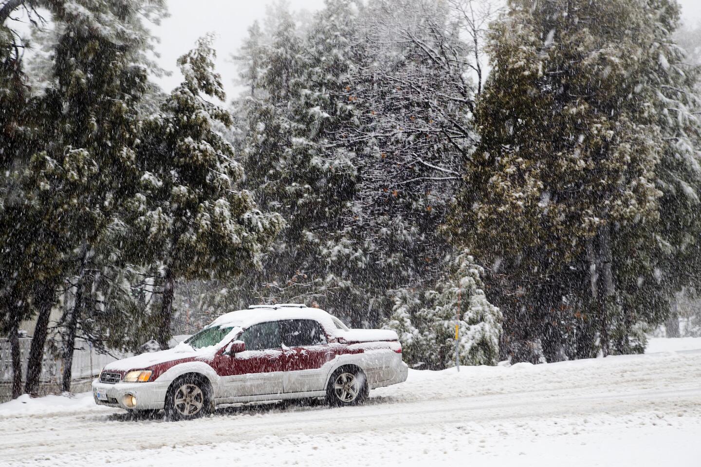
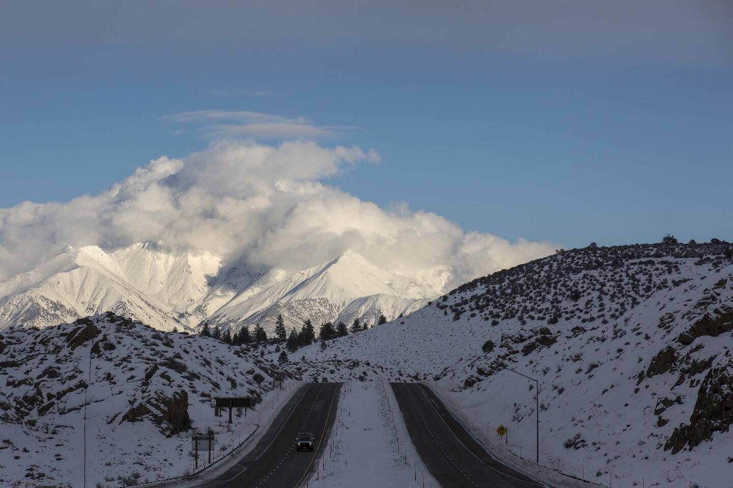
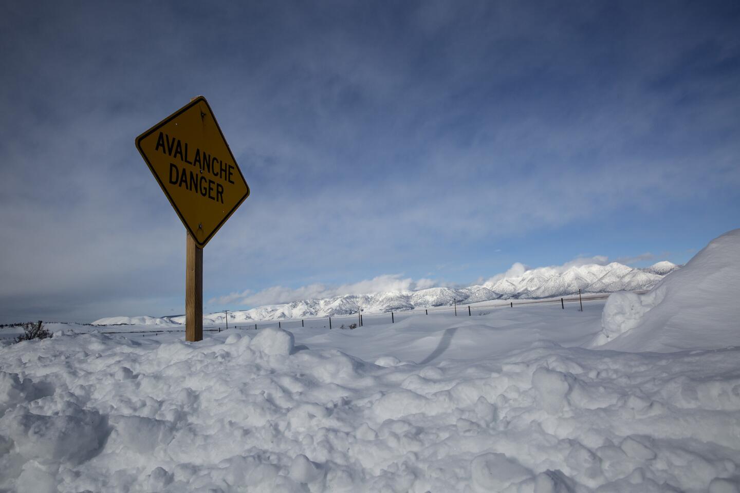
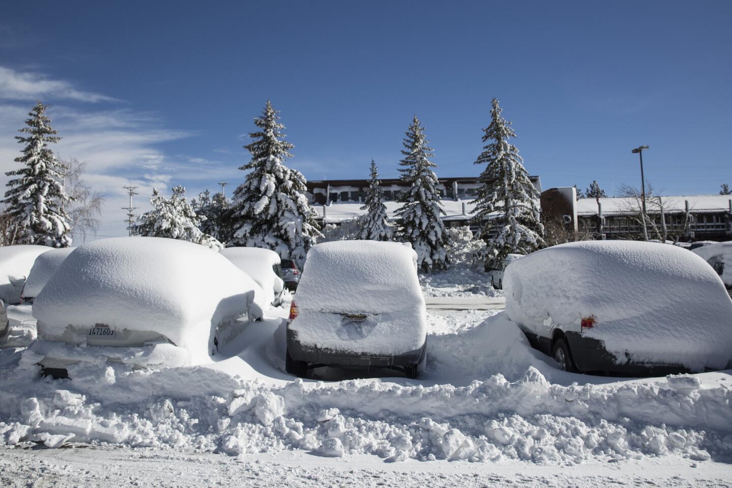
An “extreme” avalanche warning was issued for parts of the Sierra Nevada because of the heavy snow. In Mammoth Lakes, officials said higher elevations recorded 48 inches of snow in the last two days.
Winds topped 50 mph in some areas. A woman was killed in the East Bay suburb of San Ramon on Saturday when she was struck by a falling tree at a golf course amid heavy winds.
More than 91,000 PG&E customers in Central and Northern California were without electricity as of Sunday afternoon as rain, snow and winds caused flooding and knocked down power lines, said PG&E spokesman Paul Doherty.
Those who lost power were spread across PG&E’s service area, which stretches from Bakersfield in the south to Eureka in the north.
In the San Francisco Bay Area alone, 33,200 customers didn’t have power as of 2:45 p.m., Doherty said.
“Obviously we’ve seen the storm pick up in intensity today,” he said Sunday afternoon.
Doherty said PG&E had prepared for the major storm and had extra crews — a total of 1,400 people — that were ready to respond to outages. The agency set up an emergency operations center in downtown San Francisco, as well as a staging area in the Santa Cruz Mountains to be prepared to respond to outages there.
Doherty said he expected most customers’ power would be restored by late Monday, but that another strong storm was expected on Tuesday and Wednesday.
“We’ll have our emergency operations center as long as necessary,” he said.
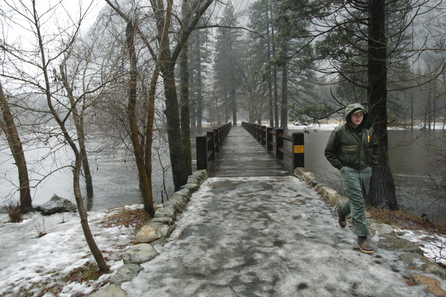
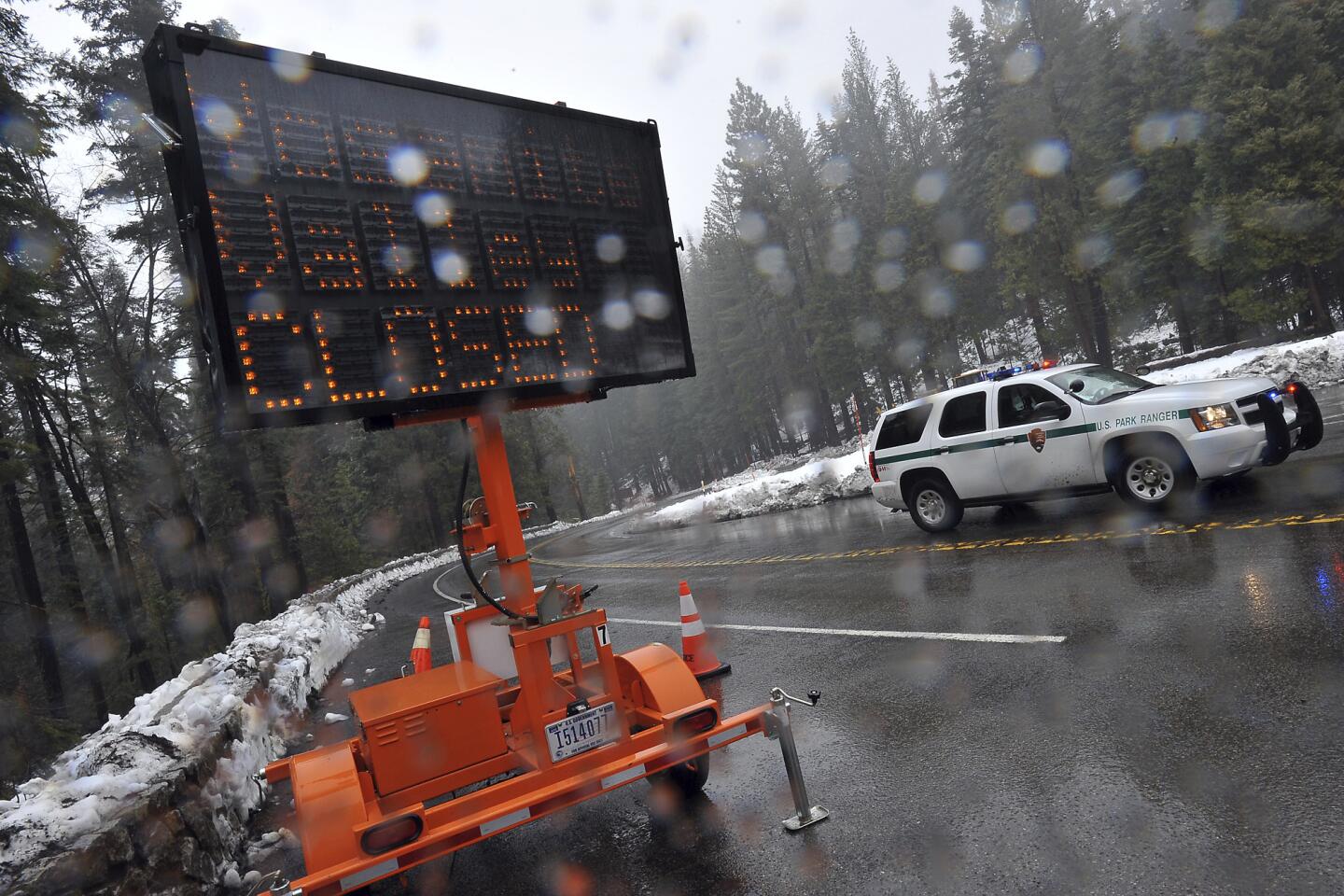
Yosemite Valley remained closed to visitors because of heavy rain and flooding. The Merced River at Pohono Bridge was nearing 10 feet (flood stage) and was forecast to reach 11.8 feet Sunday night.
The park will assess conditions early Monday morning, officials said. There is no anticipated date or time for roads into Yosemite Valley and guest services to reopen.
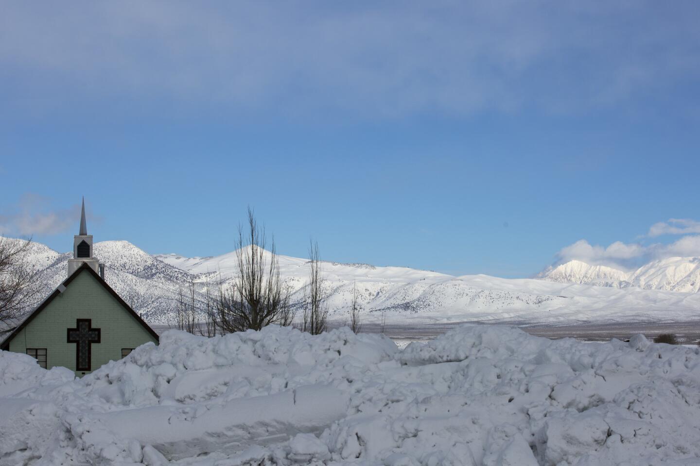
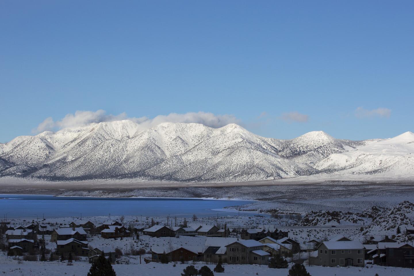
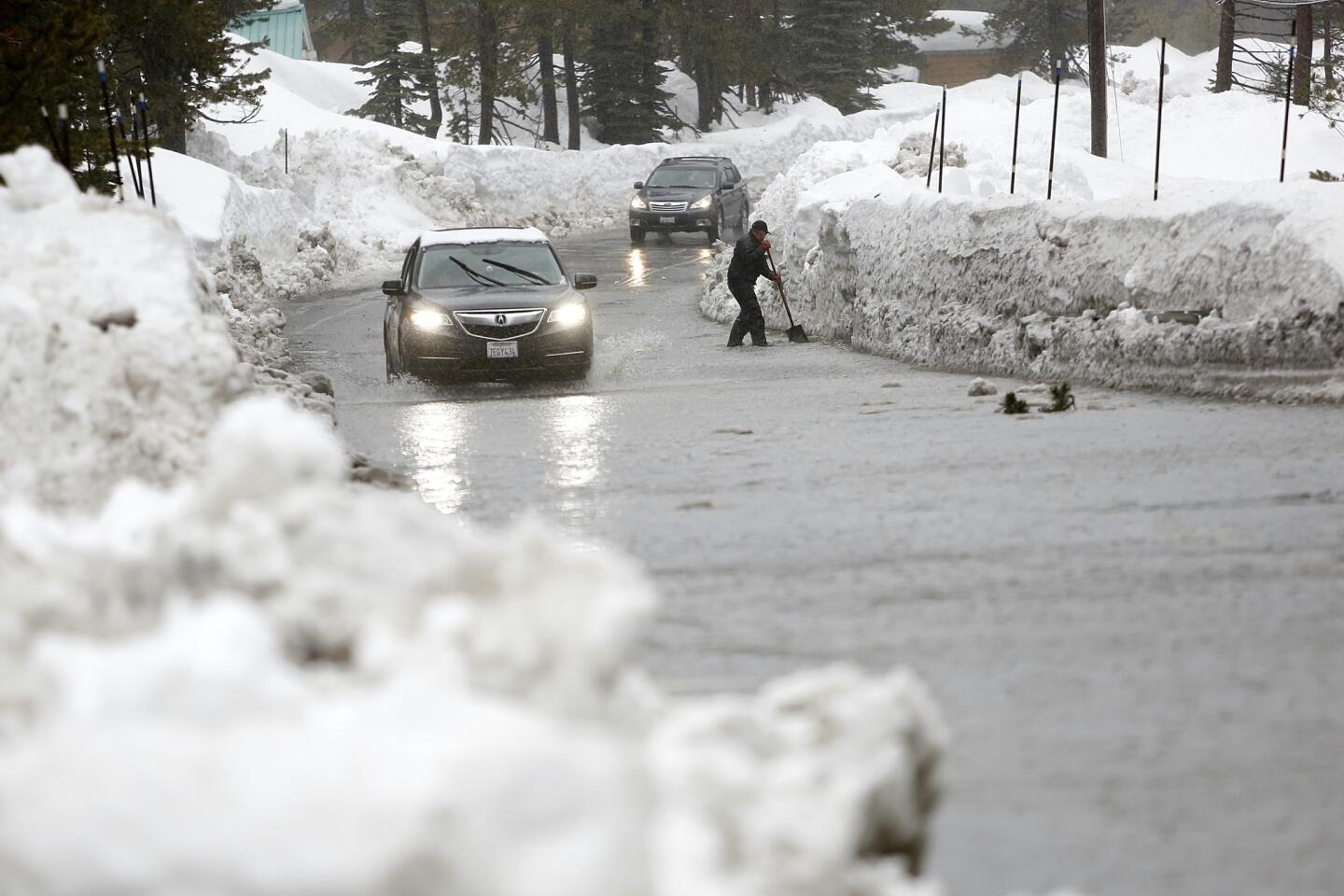
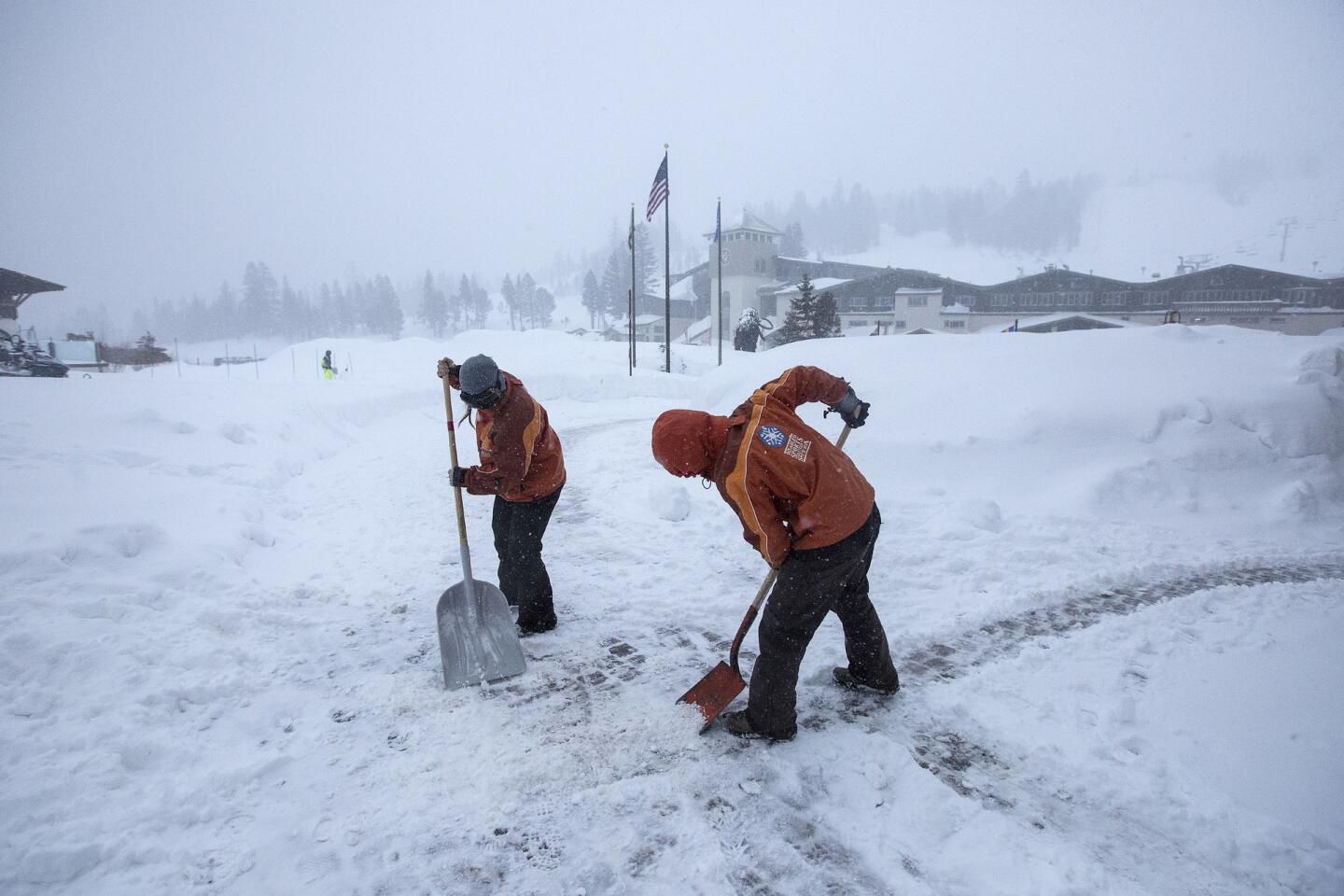
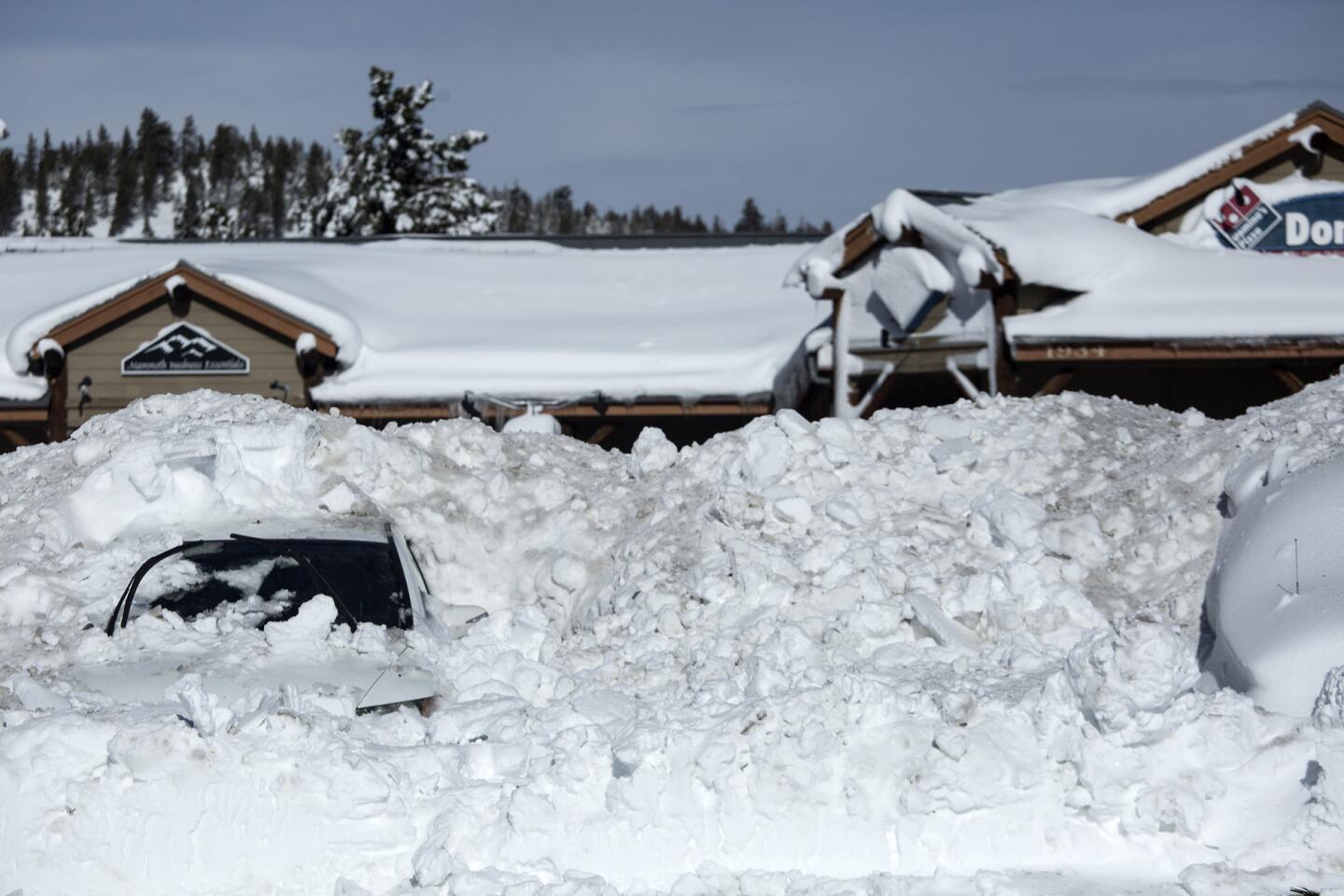
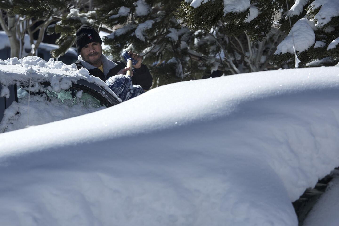
Mammoth Lakes residents girded for flooding as heavy rain fell early Sunday, melting mounds of piled-up snow and sending water and slush into the streets of the eastern Sierra Nevada ski town.
“My garage is flooding with 2 inches of water,” said Nick Criss, 40, as he shoveled sand into bags at the town public works yard.
Criss, a 12-year Mammoth Lakes resident, worries his home and many others will be damaged by the gush of rainwater and melted snow.
“There’s nowhere for the water to go,” he said.
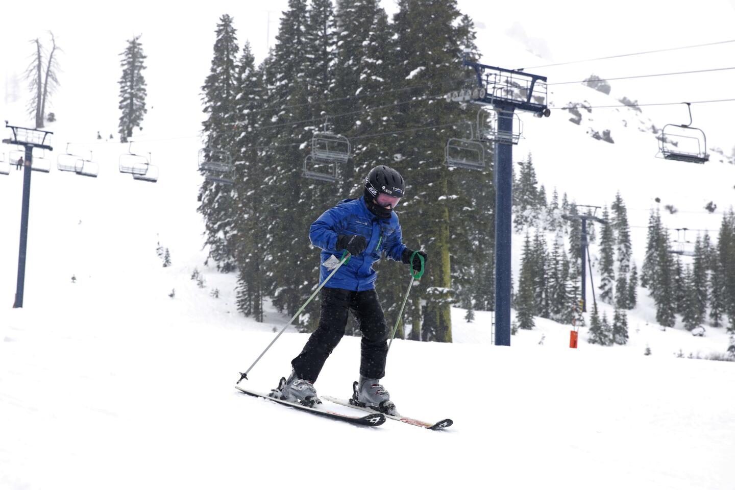
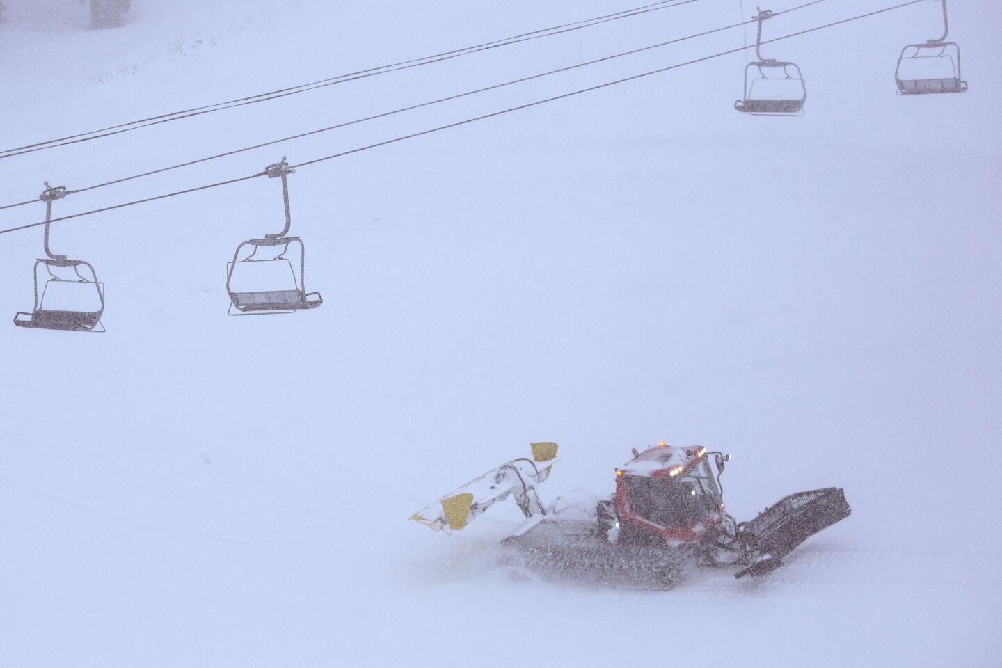
Lifts at Mammoth Mountain resort were not operating Sunday morning because of high winds, thunder and lightning.
“Let’s just say it’s not a winter wonderland … high winds, thunder, lightning and rain in town,” the resort wrote on its Twitter feed.
Visiting skiers and snowboarders were packing up their cars to head home Sunday morning.
As Mammoth Lakes emptied out, the town rattled with the crash of thunder, lightning and the sound of huge slabs of snow sliding off roofs onto the ground.
Erik Radatz, 45, who runs a pet grooming salon in Mammoth Lakes, rushed to shovel sand into sandbags to protect his home Sunday as the rain came down.
“If the temperature stays warm like this, it’s going to be bad,” Radatz said.
His advice for anyone from Los Angeles thinking of heading up to Mammoth?
“Stay home,” he said. “But if you do come, don’t bring skis — bring water skis.”
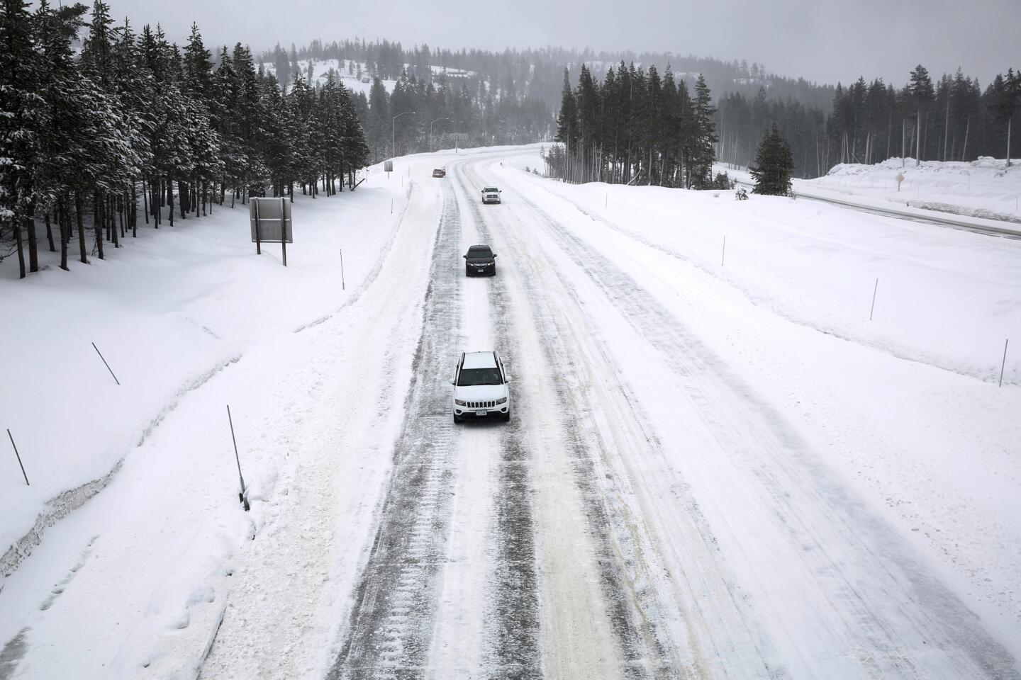
Rain fell heavily overnight on Donner Summit, just west of Truckee, with nearly 4 inches by morning. Forecasters expect a total of 6 to 12 inches Sunday.
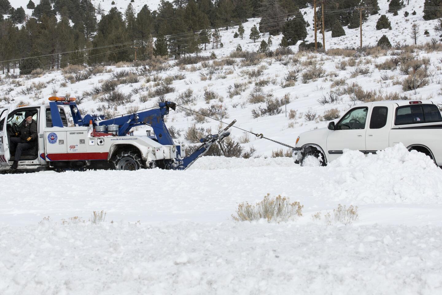
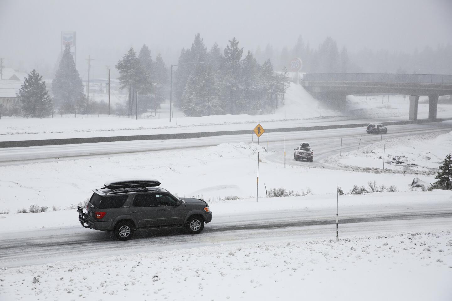
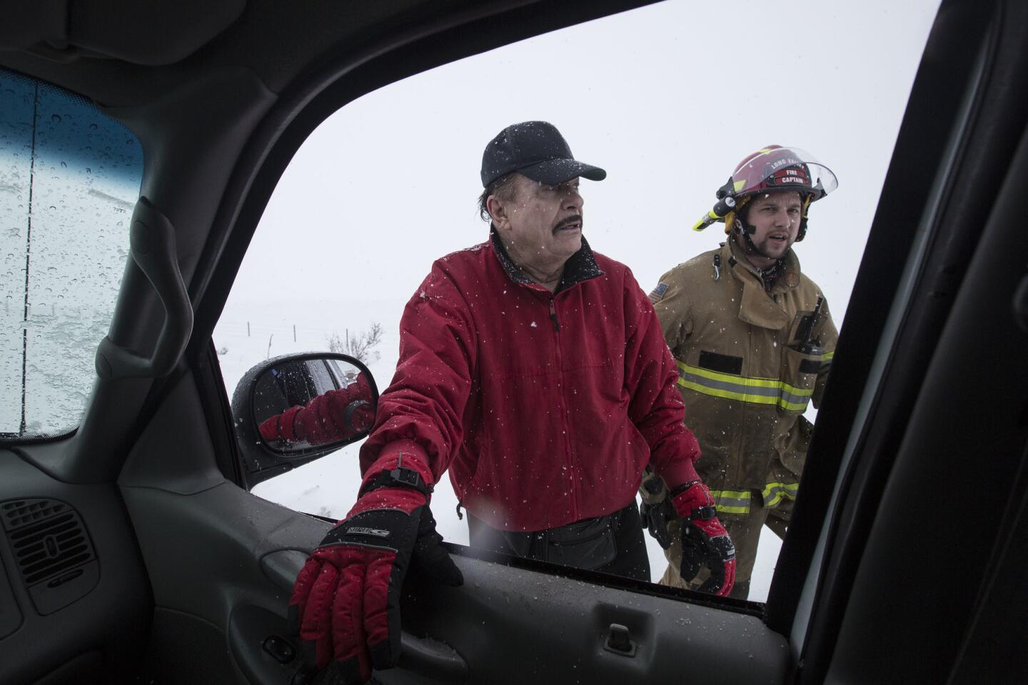
“It’s turned the snow into cement, “ said a tow truck driver for AAA. He had pulled six vehicles out of the slush pack by 10 a.m. Sunday and had other stranded drivers waiting, many of them in four-wheel-drive vehicles.
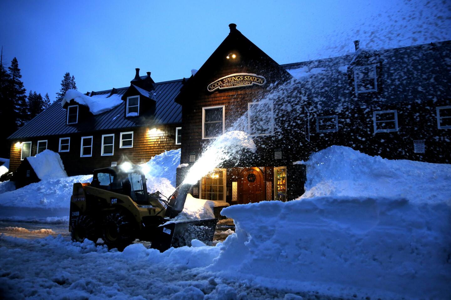
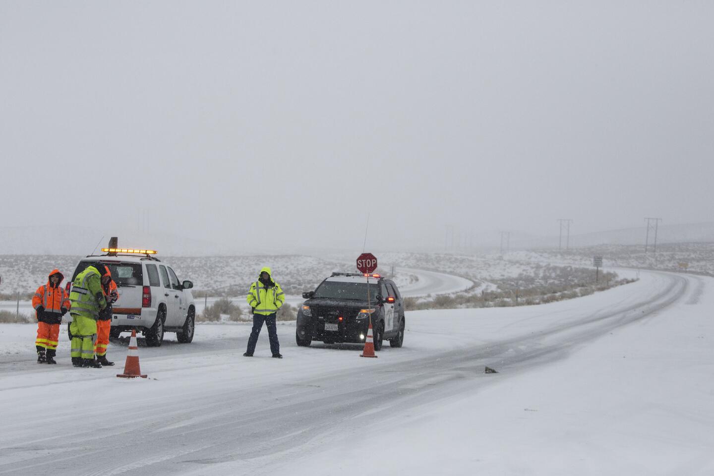
California Highway Patrol crews have repeatedly had to dig out ice dams blocking drainage culverts in Soda Springs, trapping stragglers from Saturday’s ski rush in the mountains who are now trying to reach Interstate 80.
The North Tahoe Fire District issued an avalanche warning for residents in the Incline Village area, warning them that expected collapse of snow will bring an “air wave” that will rattle windows. No structural damage is expected.
Matt Robinson, a spokesman for Sacramento County, says officials are inspecting the conditions of levees throughout the region.
“These are areas that always flood when we have heavy rain,” Robinson said. “Some of these levees are old, and they may not be able to withstand the pressure.”
The worst flooding could be in Wilton, which is the southern part of Sacramento County. Officials announced a voluntary evacuation on Saturday afternoon, and a handful of people showed up at the evacuation center in Elk Grove Park.
The so-called atmospheric river of airborne moisture known as the Pineapple Express will be felt across much of the state, but especially in the Sierra, bringing with it warm snow-eating rain, forecasters said.
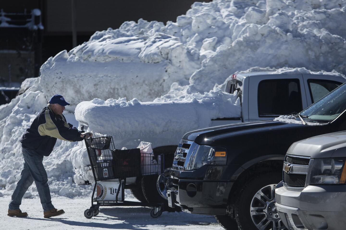
Mammoth Lakes residents worried that the warm rain and slush would dam up behind banks of shoveled snow piled high in empty lots and along roads throughout town, then flow wherever it could find a path, clogging existing drainage systems with debris and ice.
“In this town, we don’t even have rain gutters because they get ripped down by snow,” said Lisa Isaacs, a resident and environmental activist. “So we’re very worried that this storm will flood homes and garages.”
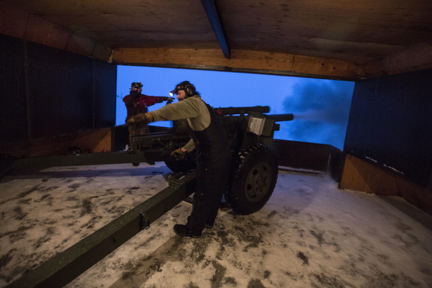
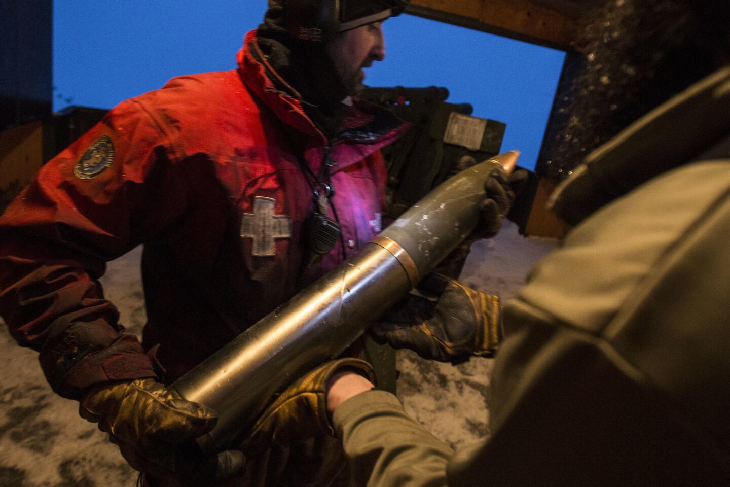
Caltrans crew fires explosives along Highway 158 in Mono County in measure to prevent avalanche danger. Video by Brian van der Brug / Los Angeles Times
Town officials advised residents to stock up on water, food, first aid supplies, clothing and bedding, tools and emergency supplies, along with special items for medical conditions. The city of 8,000 is perched at an elevation of 7,880 feet.
On a winter war footing, residents lined up throughout the day on Saturday at the town’s utility yard to load up on 40-pound sandbags they hoped would steer waves of slush away from homes, ground-floor condominiums and businesses.
Among them were Greg Newbry, 66, a recently retired Mono County employee, and his wife, Linda Salcido, 67, Mono County’s director of public health.
“I was here in 1982 when this town was wrecked by massive flooding,” Newbry recalled. “Main Street was under 2 feet of water. Businesses closed. The roofs of five mobile homes collapsed under the weight of rain on snow.
“If we get all the rain predicted in the forecasts,” he added, “every slab of concrete at ground level is vulnerable, and we live in a ground-floor condominium.”
As she helped tote 20 sandbags to their vehicle, Salcido said she was concerned about the potential effects of flooding countywide.
“Snow, even lots and lots of it, we can handle,” she said. “But a major flood event would lead to countless challenges.”
We’ve got cars everywhere, upside-down and everything.
— Greg Miller, Caltrans maintenance manager
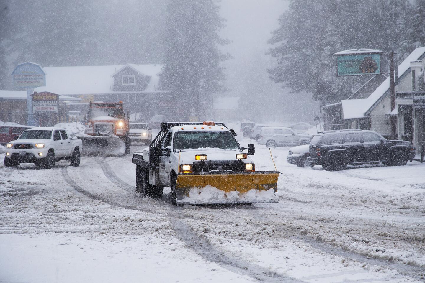
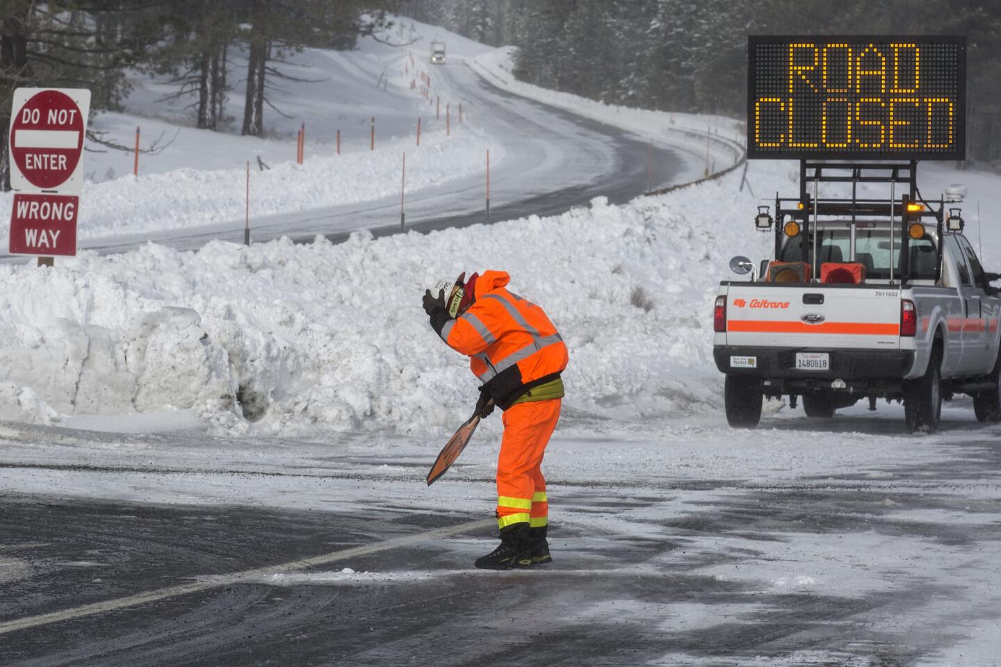
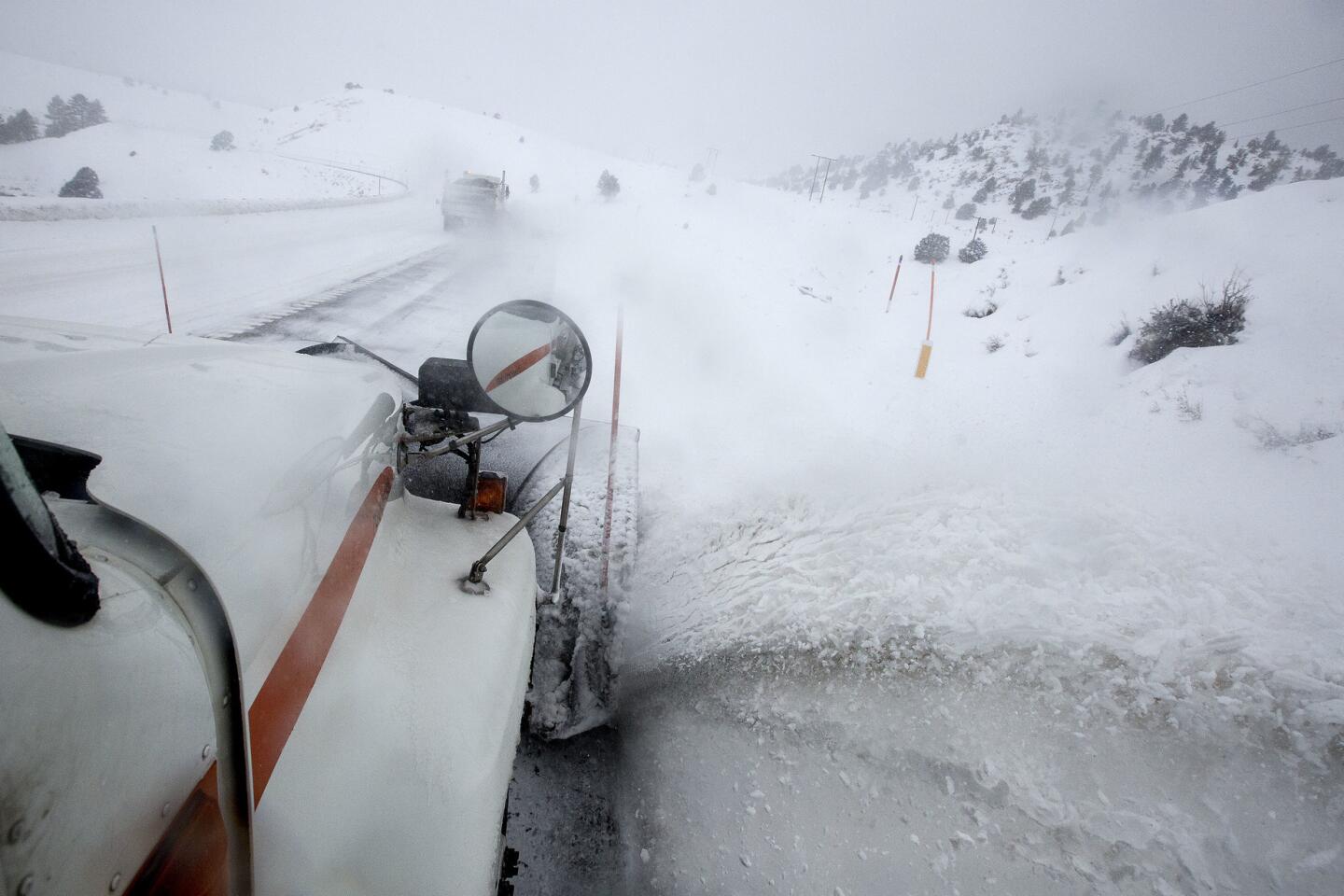
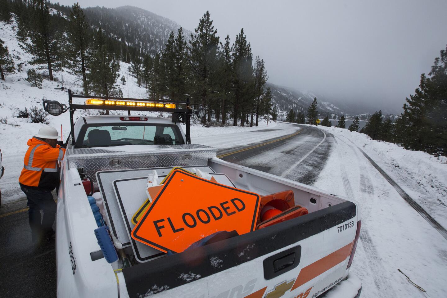
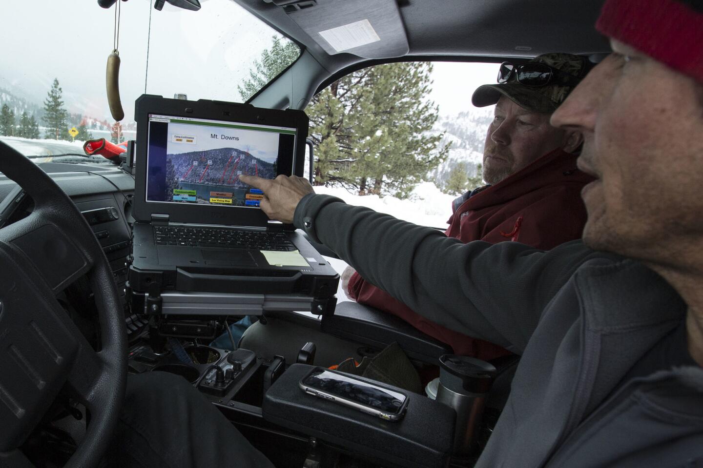
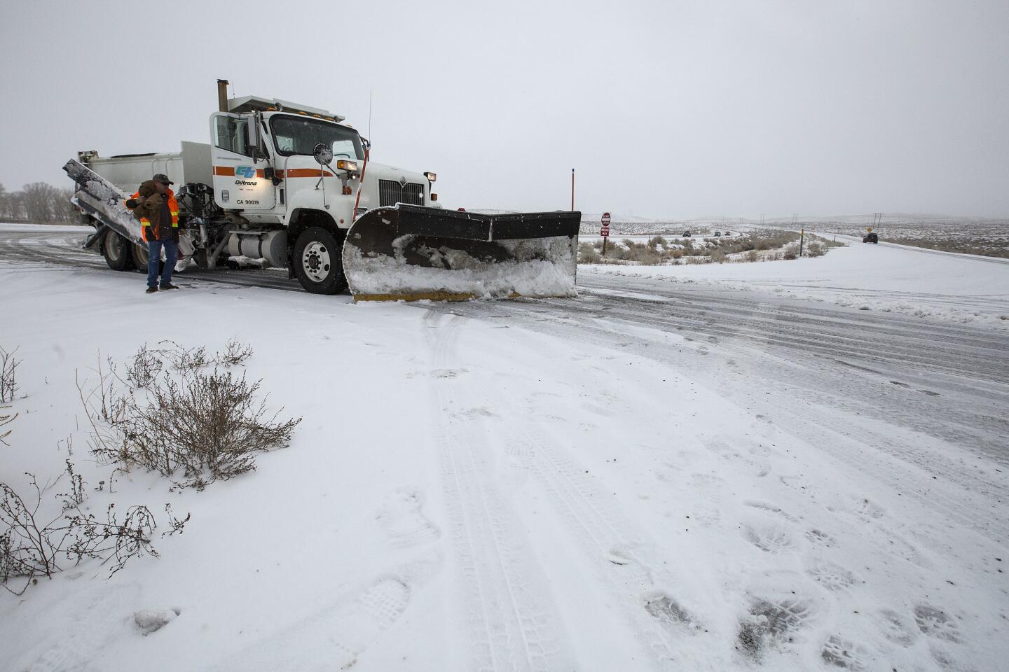
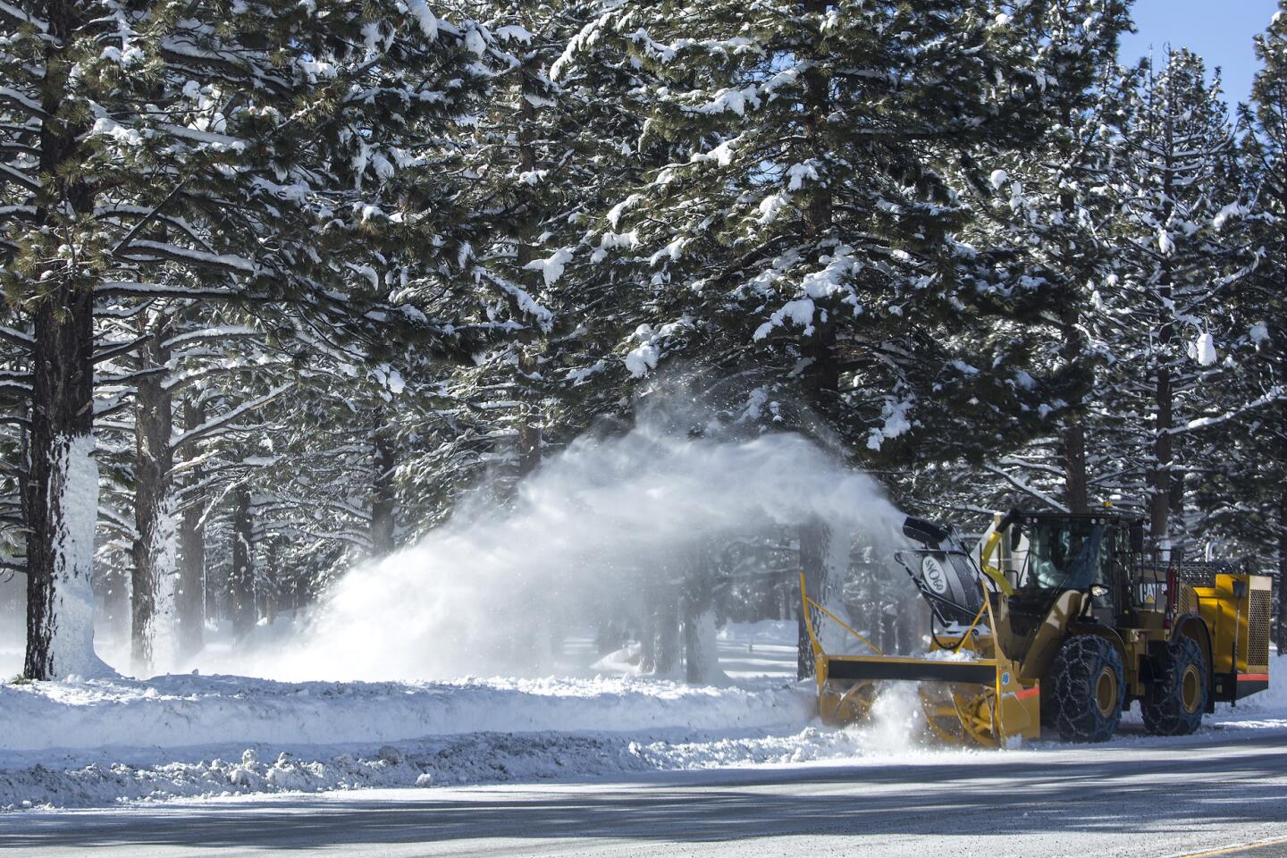
Crews and residents in area towns spent Saturday preparing for the deluge. Snowplow operators scraped icy roadways. Excavators and snowblowers cleared and moved huge piles of snow. In the eastern Sierra Nevada, Caltrans workers used explosive devices to clear snow from avalanche-prone areas.
“It’s the rain over the snow that we’re worried about,” said Greg Miller, Caltrans maintenance manager for the region. We’ve had snow since Christmas, but now, with the warmer trend, we’re worried about water.”
From his white SUV, Miller kept a close eye on conditions along U.S. 395. The reports heard over radio traffic told the story.
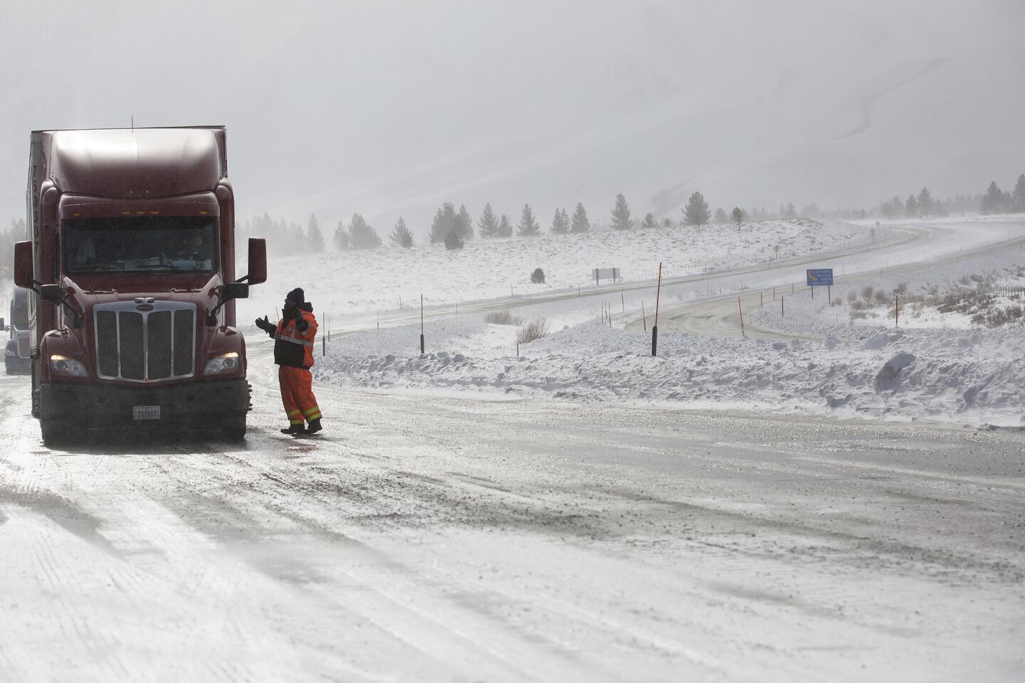
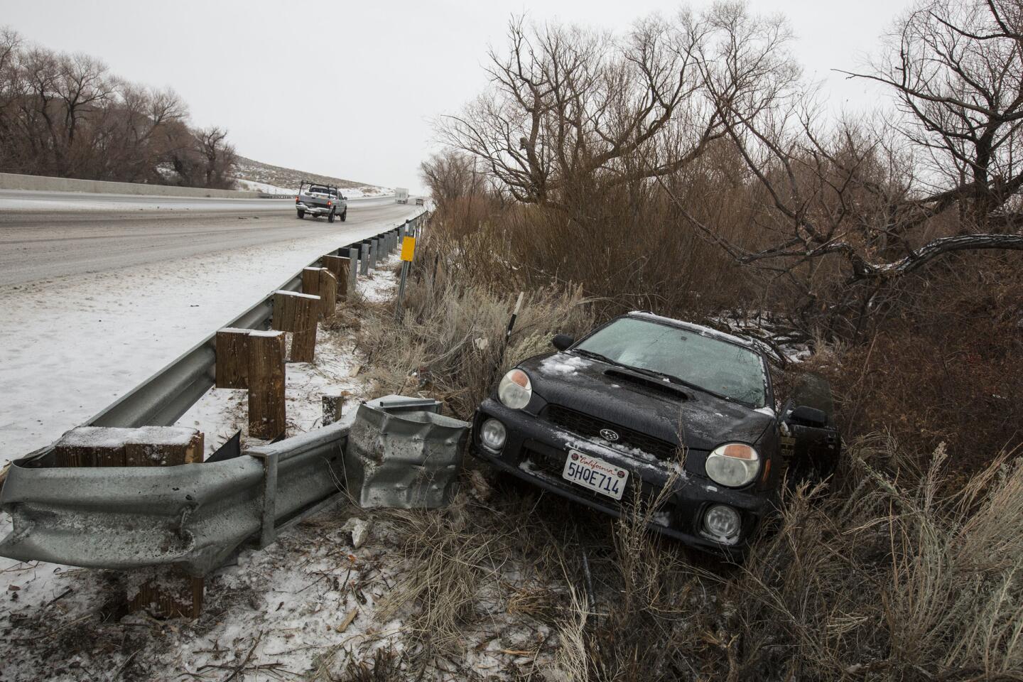
Cars rolling over and sliding off the road. An irate driver blocking a plow truck. Someone driving the wrong way on the highway.
At one point, a request went out to bump up to stricter tire chain controls as road conditions worsened. Later, a California Highway Patrol vehicle slid into a median and had to be pulled out.
“We’ve got cars everywhere, upside-down and everything,” Miller reported over the phone.
Maintenance crews were kept busy responding to snow-related accidents and icy road conditions.
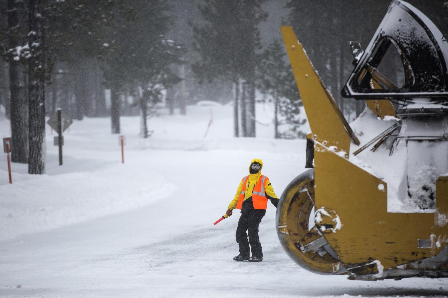
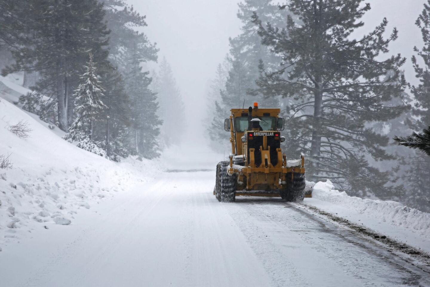
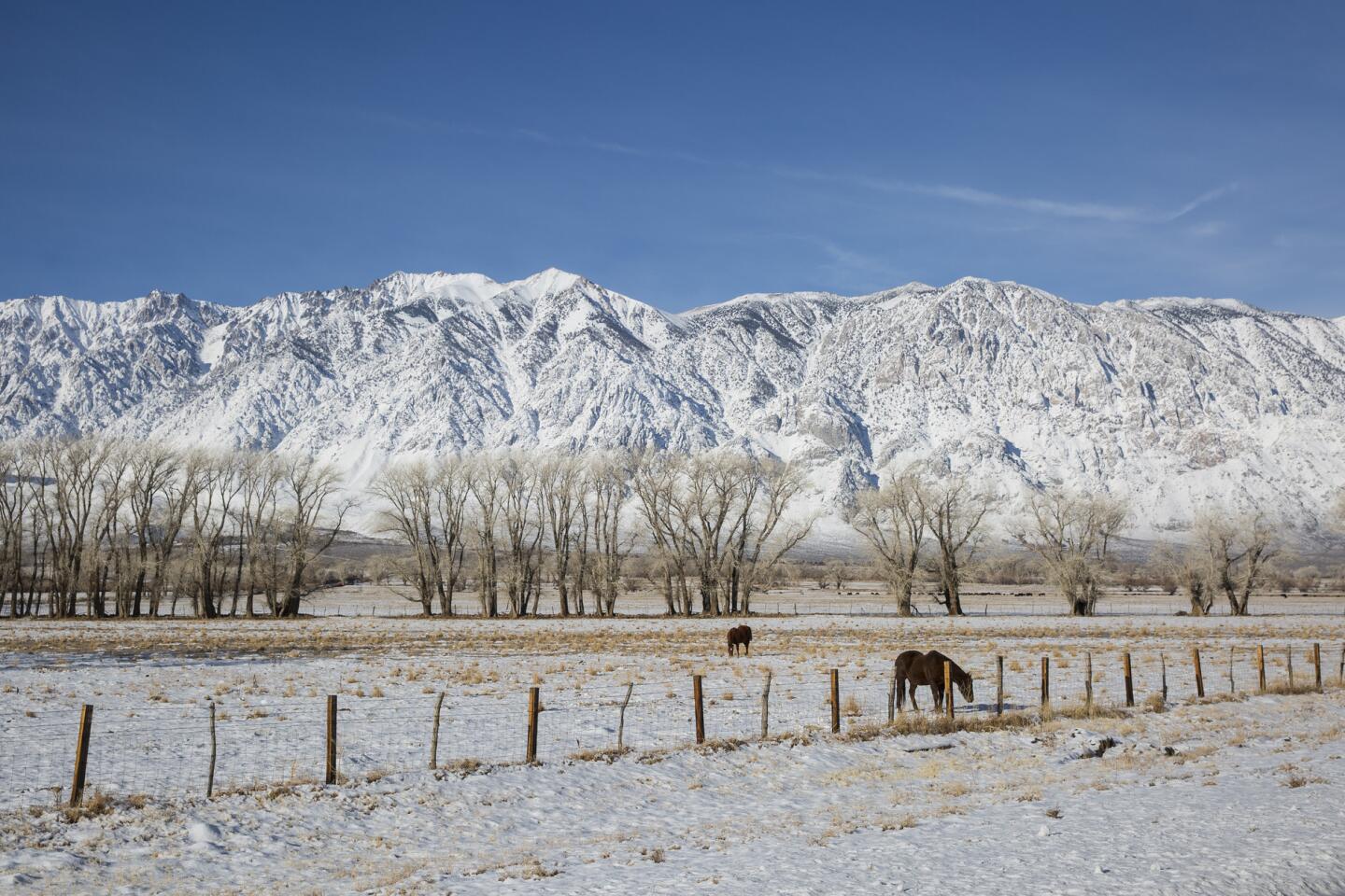
Steve Coons manned a massive Caltrans wing plow. Its engine strained as it worked in tandem with another truck to clear and sand two northbound lanes of U.S. 395 north of Bishop, a key transportation corridor along the Eastern Sierra Nevada.
From behind the wheel of the rumbling truck, Coons could feel the weight of the heavy, wet snow as it pushed against the plow blade and was shoved to the side of the highway.
“The truck is really chugging,” he said. “It’s going to be a long day.”
Coons monitors closely the consistency of the snow, which wavers between soft, large flakes and icy shards. The more of it that falls as rain and ice, the more he worries it will make the roads slick and cause serious trouble for drivers.
“As soon as it gets cold, all this ices up,” Coons said. “Not good.”
He and other plow operators are on the roads 24 hours a day, working 12-hour shifts. They will have no shortage of snow to clear with the series of storm cells expected to continue dumping moisture over the area for days.
“Our guys have pretty much been on since Christmas, and it’s not letting up,” said Greg Miller, maintenance manager for Caltrans District 9, which includes Inyo, Mono and eastern Kern Counties.
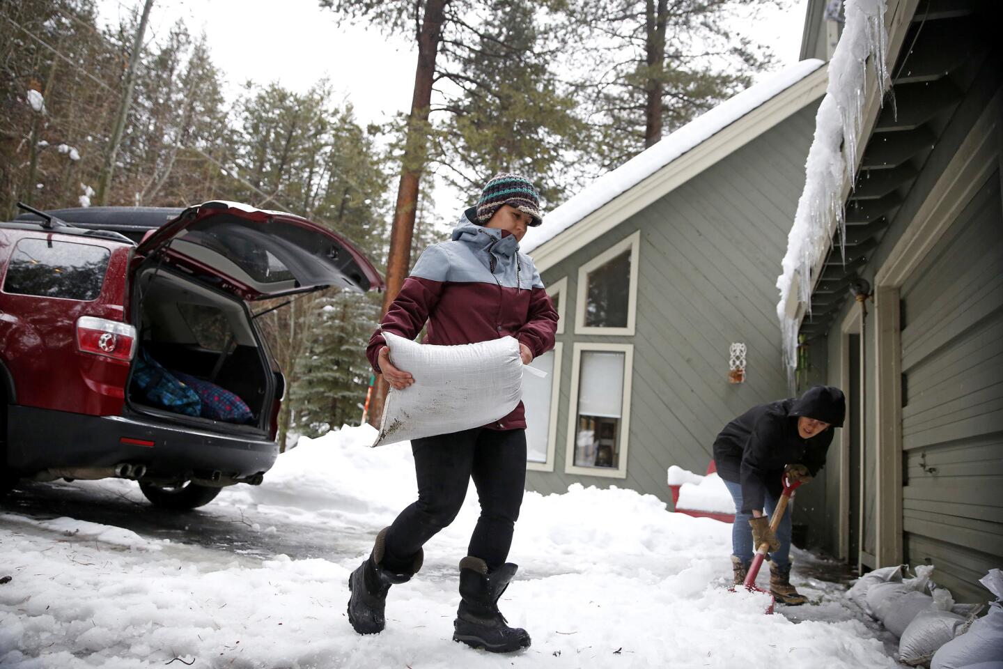
In Truckee, a small resort town north of Lake Tahoe, residents filled sandbags at the local fire station to shore their homes against the water.
Monique Long hefted heavy bags of sand into the back of her family GMC. The waist-high snow around her neighborhood was melting rapidly, and some of it was streaming down a nearby hill, straight into her garage.
“Everything is quickly coming up,” she said.
To the south in Mammoth Lakes, highway patrols responded to snow-related accidents as road conditions worsened.
Isaacs spent Saturday hoping that “the rain they keep talking about will turn out to be snow.”
“But it’ll probably be like having a giant fire hose turned on us and we’ll be swamped,” she said with a nervous laugh. “I just hope that my little $150 water pump can keep up with it.”
Mammoth Mountain Chief Executive Rusty Gregory had few answers.
“The main topic of conversation over cocktails on Sunday night,” he mused, “will be about what actually happened that day.”
esmeralda.bermudez@latimes.com
Los Angeles Times staff writer Rosanna Xia contributed to this report.
MORE ON THE STORMS:
How much rain did we get? Ask the iRain app, created at UC Irvine
Skiers and snowboarders are inundating resorts, paying higher lift prices
With snow piling up in the Sierra, what will it take to end California’s drought?
UPDATES:
8:15 p.m.: This article was updated with new details about evacuations in Sonoma County and neighboring Nevada.
7:50 p.m.: This article was updated with new information regarding weather and flooding conditions.
6:11 p.m.: This article was updated with new information about flooding throughout the region and voluntary evacuations in neighboring Nevada.
5:30 p.m.: This article was updated with new information about Yosemite Valley and on flooding conditions around Truckee.
4 p.m.: This article was updated with new information about power outages in the Bay Area.
3 p.m.: This article was updated to include new information about possible flooding conditions in the Sacramento area.
12:20 p.m.: This article was updated with new information about road closures.
11:10 a.m. This article was updated with new details about weather conditions in the Mammoth Lakes area.
10 a.m.: This article was updated with flooding information in North Bay.
8 a.m.: This article was updated with new information about the overnight storm.
This article was originally published at 3 a.m.
More to Read
Sign up for Essential California
The most important California stories and recommendations in your inbox every morning.
You may occasionally receive promotional content from the Los Angeles Times.
