More rain coming as another atmospheric river-fueled storm rolls toward Los Angeles
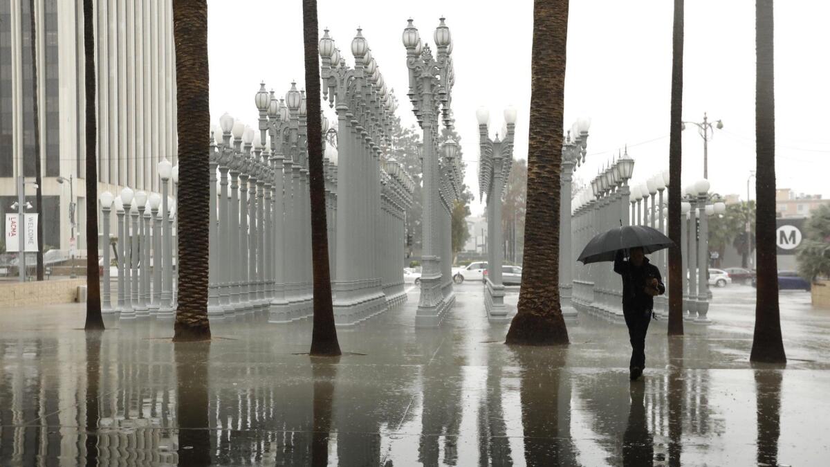
A fierce winter storm that has flooded roads, toppled trucks with high winds and created treacherous conditions throughout the Sierra Nevada in Northern California is expected to clip Los Angeles on Wednesday.
However, forecasters say the Southland will avoid the brunt of the atmospheric river-fueled storm, which has been centered over the northern half of the state. That means the southern region will likely avoid the significant drenching the rest of the state has suffered during this warmer and wetter winter storm.
Atmospheric rivers are long, narrow bands of water vapor that are pushed across the Pacific Ocean by gusty winds. When strong enough, they can account for a disproportionate amount of the annual precipitation — between 30% and 40% — on the West Coast, according to experts. In 2016, a series of intense atmospheric rivers helped ease California’s epic drought by producing record rain and snow in Northern California.
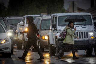
L.A. is expected to receive less than a quarter of an inch of rain, while the Central Coast could see up to an inch of precipitation through Thursday, according to forecasters.
“Wednesday late morning into the early afternoon will be our best chance of rain,” said Lisa Phillips, a meteorologist with the National Weather Service in Oxnard. “We’re just not expecting a lot of accumulation with this system.”
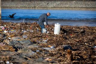
As of Tuesday morning, the storm had drenched Sacramento with 1.26 inches of rain in 24 hours. Venado, a community in Sonoma County, had received more than 9.5 inches of precipitation in the same period with more on the way. With so much rain, Sonoma County sheriff’s officials have warned residents of the potential for flooding from the Russian River near Guerneville.
Roughly 4,000 people living in about two dozen areas near the river were ordered to evacuate Tuesday afternoon as the river started to flood. It’s expected to crest at 46.1 feet — more than 14 feet above flood stage — Wednesday night.
Authorities warned residents to be vigilant of cracks in the roads, leaning trees and the sound of trees cracking. Roads may become impassable, and people who don’t leave immediately could be trapped, they said.
“If you live in an evacuation area, we want you to leave now,” Sonoma County Sheriff Mark Essick said at an evening news conference. Officials told reporters that they had staffed extra deputies and dispatchers to help with evacuations and field emergency calls. Two boats were deployed to the lower Russian River to help people get out.
Officials said they were also concerned about mudslides across Sonoma County, especially in the hillside neighborhoods along the river and areas ravaged by recent wildfires. One debris flow sloshed across a roadway in the Monte Rio area on Tuesday evening, but no one was injured.
The National Weather Service said the new storm produced more than a foot of rain in the hills above Healdsburg in Sonoma County.
Officials plan to close a portion of Highway 1 in Big Sur at 5 p.m. Tuesday in advance of the storm. The California Department of Transportation closes the road’s most vulnerable slide areas when significant storms are predicted to hit the region. Closures will be in effect at Paul’s Slide and Mud Creek, near the border of Monterey and San Luis Obispo counties, until the rain ends and crews can inspect for damage.
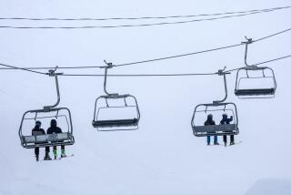
The storm also is expected to drop 2 to 8 feet of snow on the Sierra Nevada through Thursday morning, according to the National Weather Service. This comes amid what has already been a snowy period for ski resorts. At Mammoth Mountain, one ski area reported getting as much as 24 feet of fresh powder in the last month.
A solid soaking might still be in the cards for Angelenos later in the week, when a second atmospheric river makes its way into the region. It is too early for forecasters to tell how much rain will accompany that system, but they predict it will probably be heavier over the southern portion of the state.
The Center for Western Weather and Water Extremes, which recently introduced a new system for categorizing atmospheric river storms on a scale from 1 to 5, ranked this storm as a Category 3, or “moderate,” based on its duration and intensity in Northern California. Category 3 storms are considered beneficial to the state’s water supply, but can also present hazards, according to the center.
Despite the warmer tropical air that accompanies atmospheric rivers, the temperature in Los Angeles is expected to stay fairly cool over the next several days with highs lingering in the mid-60s.
This month is the coldest February in downtown Los Angeles in nearly 60 years, with the average high temperature at 60.6 degrees as of Sunday. That’s a full 8 degrees below the normal average temperature. If temperatures remain in the 60s for the next three days, L.A. will set a new record, according to the weather service.
“The highest temperature on any day this month so far in downtown Los Angeles has been 69 degrees,” the weather service said. “There has never been a February since records began in downtown Los Angeles in July 1877 during which the temperature has failed to reach the 70-degree mark.”
Times staff writer Mary Forgione contributed to this report.
Twitter: @Hannahnfry
More to Read
Start your day right
Sign up for Essential California for news, features and recommendations from the L.A. Times and beyond in your inbox six days a week.
You may occasionally receive promotional content from the Los Angeles Times.
