Coastal O.C. to be spared from severe temps, but warmer weather expected to stick around through weekend

Thanks to a high pressure system hanging over New Mexico and Arizona, temperatures started soaring in Southern California early this week, and the National Weather Service issued heat watches nearly everywhere, it seemed, but Orange County.
Temperatures in parts of the state were expected to reach 112 degrees between Tuesday and Saturday, which is forecast to be the hottest day of the week.
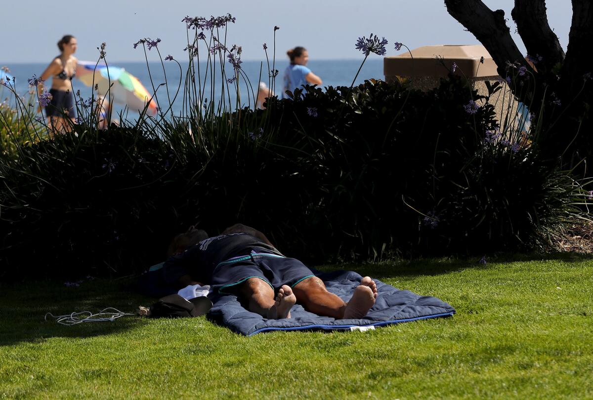
Along the coastline, daytime highs in Orange County are predicted to remain in the upper 70s and lower 80s. In Newport Beach, highs are expected to remain relatively even, between 77 and 79 degrees, and the same holds true for Laguna Beach and San Clemente.
The farther inland residents travel, the hotter temperatures they are likely to encounter over the coming days. Anaheim is expecting highs of 80 to 90 degrees through Tuesday, and Irvine will see highs of 85 to 90.

Meteorologist Philip Gonsalves said the high pressure system causing the heat wave is shifting and expanding westward towards California. The marine layer will continue to persist, he said, though its cooling impact may be lessened by the heat.
“The closer you are to the beaches, the lower the temperatures will be. The water temperature continues to be fairly low for this time of the year. We’re approaching the middle of July, and water temps are ... in the 60s,” Gonsalves said. “As long as we’ve got a sea breeze, which we will most likely have every day, conditions along the coast there should be pretty mild.”
He added that after the heatwave passes over the Southland on Tuesday, temperatures won’t likely drop back to the cooler weather that had persisted into the first days of summer.
“The short version is that at least for the spring and up to this point of the summer, our weather pattern has been dominated by low pressure troughs ... the presence of that large-scale low pressure trough and the cold air it typically brings with it is what has kept us at the low seasonal normals for most of the spring and summer so far,” Gonsalves said. “For the foreseeable future, for the next seven to 10 days, we’ll have mostly above normal temperatures.”
Temperatures are expected to dip after next Tuesday, but Gonsalves noted it is unlikely the difference will be noticeable.

All the latest on Orange County from Orange County.
Get our free TimesOC newsletter.
You may occasionally receive promotional content from the Daily Pilot.

