On wild lands and preserving open spaces
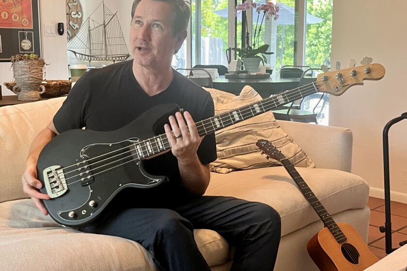
Longtime Laguna Beach resident Eric Jessen was chief of the Orange County Department of Harbors, Beaches and Parks for 25 years before retiring in January. Jessen was instrumental in the creation of the Laguna Coast Wilderness Park, which surrounds Laguna Beach.
The Coastline Pilot’s Cindy Frazier recently asked Jessen about the history of the park preserve and other issues regarding wilderness, including the controversy over fuel modification for wildfire safety.
Q. Tell us a bit about your background.
A. My family settled in Orange County in 1869 in Santa Ana. In 1906, my great grandmother got tired of the dusty roads and hot weather, so they moved to Balboa Island when it was still a sandbar and built a home on Sapphire Street overlooking the bay. Then they made the big jump to Laguna Beach in 1915, so that’s when my family first settled here.
My grandfather was sent to Germany for his technical education, but when he returned could not make a career here as a technical engineer, so he moved to downtown Los Angeles. That’s where my father was born and raised, in the Hollywood Hills.
I grew up in Beverlywood, but my family had land here and lots of relatives, so we visited often. In 1966, I moved here permanently while attending Long Beach State, and I’ve been here ever since.
I’ve spent most of my life here in Laguna and in the family home in the High Sierras, which we’ve had since 1952. Probably the genesis of my interest in the environment was from childhood experiences in the Sierras, at the foot of Mt. Whitney, where the trail starts to the highest peak in the United States.
I was a landscape contractor specializing in oceanfront homes, and in 1975 I got a position with the County of Orange in Casper’s Park. I had always wanted a job with the county, and it was virtually impossible to get one. One day in 1974, somebody said they were hiring 30 new employees, and I got up early and drove to Santa Ana and was number 29 in line.
Among the positions were eight for a trail crew at what is now Caspers Wilderness Park. I started in January 1975. I helped build the trail up San Juan Creek, and, because I knew about aligning trails, I was the one that routed the trail and tied the ribbons on the bushes for the crew to come and carve out the trails.
A month after I started, I went to the headquarters in Corona del Mar to pick up payroll, and the then-director of the department spotted me and asked, “What are you doing in one of our uniforms?” I had done a master plan for the department for O’Neill Regional Park several years earlier. I told him I was on the trail crew at Caspers Park, and he said, “Not anymore. On Monday morning you report here.” So I was brought into the administrative end, and within five years I became chief of acquisitions for the Harbors, Beaches and Parks Department.
At the time, we had 7,000 acres of parkland, and my main job was to acquire additional parkland and beaches and to develop the facilities. At the end of my career, we had 41,000 acres.
Q. Give us a bit of the history of Laguna Coast Wilderness area and how it came to be.
A. The county general plan in 1970 called for the opportunity to have a significant green belt in the San Joaquin Hills, wrapping around Laguna Beach, so that’s when the groundwork was laid. Previously, in 1962, the Board of Supervisors adopted a master plan of regional parks, calling for a 4,000-acre regional park focusing on the Laguna lakes.
As time went on, there began to be some good leadership by residents of Laguna Beach, not the least of which was Dr. James Dilley, who owned Dilley Bookstore, who had put forth a proposal for a Laguna greenbelt, patterned after the greenbelts you see in Great Britain.
He was grappling with the idea, and one day myself and another grad student at Long Beach State, Donald Jump, had an appointment to interview Dr. Dilley. We offered our services to prepare technical maps of the area, which served as a technical basis for arguing the need for a greenbelt in order to preserve groundwater resources, native vegetation and watershed retention for flood runoff. We did that work in 1970-71, and it provided him with a set of tools to bring into focus the practical aspects in support of the concept of having a greenbelt.That’s where my involvement first came into play, and subsequently the City Council established an environmental review board to review and certify the primitive environmental impact reports that were being required under the new California Environmental Quality Act, and I sat on a board with four other individuals. Subsequent to that, there was a committee to develop an open-space component for the city’s general plan. And I served on that committee, having done independent research on the physical and biological aspects of all the canyons, of which there are 40 -- large and small canyons punctuating the coastal slopes.
Q. What were the first parcels purchased?
A. The Laguna Coast Wilderness Park had its inception when the City of Laguna Beach purchased what we call Sycamore Hills, and that was the land triangled between El Toro Road and Laguna Canyon Road, and that was about 500 acres. However, that was not the first piece of land acquired to establish the Laguna Greenbelt.
The actual first piece was a 20-acre rectangular parcel on the slope of Niguel Peak overlooking Aliso Canyon, and that was in 1972. The second piece was a 20-acre parcel behind the gated community of Emerald Ridge, just beyond Three Arch Bay. And those brought to fruition the first preserved open space in the entire greenbelt, and it occurred on the South Laguna ridgeline. As time went on, parcels were acquired for both Laguna Coast Wilderness Park and Aliso and Wood canyons, which is made up of over 40 distinct real estate transactions, ranging in size from 3,400 acres acquired from the Mission Viejo Co., down to small parcels just over a few acres in size.
In Laguna Coast Wilderness Park, you have larger parcels but fewer transactions. About eight parcels make up Laguna Coast Wilderness Park.
Q. How many acres are permanently protected?
A. Approximately 18,000. There are opportunities to acquire some land that most people probably think are already in the park. As you motor down Laguna Canyon Road toward the beach, the south canyon wall consists of large privately owned parcels, two of which were recently acquired, including the property above the Big Bend area where the dramatic rock outcroppings are located. There are other parcels we are working on with the assistance of the Laguna Canyon Foundation, using grant funds earmarked for this land from Prop. 12, a state park bond act approved six to seven years ago.
Q. What are the obstacles to acquiring more land?
A. Most of the obstacles have been overcome. The major obstacle was trying to bring the Irvine Co. to the table to secure their cooperation to sell the land in Laguna Canyon and set aside their Laguna Laurel plan for development. But that isn’t to suggest they weren’t cooperative earlier on. I had separately negotiated [purchase of] all the land in the greenbelt from the Festival of Arts grounds to Crystal Cove State Park. That was in return for development entitlements on the Newport Coast.
Today the obstacles are small, mostly differences of opinion between independent real estate appraisals for the remaining parcels in private hands and the owners’ opinion of the value of the properties. Occasionally, we have a landowner who feels the land is worth more, but most of the parcels are landlocked and don’t have vehicular access to them.
Q. Recently, there have been conflicts concerning wild land preservation and the need to protect homes from wildfires by creating “defensible space” around homes. Can these conflicts be resolved, and how?
A. Over 20 years ago, county Harbors, Beaches and Parks came to the realization there was a need for fuel modification zones around development, and the county put into place a policy requiring that every new subdivision would have within the boundaries of its own tract map a common lot, 175 feet or more in depth, wrapping around the development area, and within that ribbon a graduated thinning of vegetation, thinned most heavily near the structures. So there is an excellent mechanism in place that is used countywide for providing for defensible space.
Where we have difficulty is in older communities such as Laguna Beach, which were built before this policy was put into place. So, for instance, in north Laguna you have a fuel modification zone that was courtesy of the Irvine Co., but when they turned the land over to the county for park purposes, there was no fuel modification zone in place.
So special arrangements have been put in place, because the county has a policy of prohibiting fuel modification in its parklands. The reason is because it makes the county financially liable, in the opinion of county counsel. For example, if the county undertook thinning of vegetation to protect adjoining homes, that is considered a gift of public funds because you’re using public property to protect a private home.
Now I realize that won’t fly well with the general, run-of-the-mill family in Laguna Beach, but there are laws that make it difficult for the county to accommodate private uses on public lands.
The way to get around this is what we did with Emerald Bay, where that community prepared a fuel modification management plan for the lands owned by the county abutting the community of Emerald Bay, and the plan was reviewed by the county, and the county gave a permit to the Emerald Bay community to undertake the fuel modification program. So the county did not become obligated to do the fuel mod for the benefit of private homeowners.
Q. What about valuable habitat? Can fuel modification be accomplished in an area of valuable habitat?
A. The most prized habitat is generally not immediately abutting developed areas -- the Big Bend wetlands, the floor of Aliso Canyon, or the Laguna lakes in outer Laguna Canyon. When fuel modification is done along north Laguna’s development face, certain species that are recognized as having high habitat value are not just ripped out, but are left in discrete clumps -- for example, cactus that is habitat for the California coastal cactus wren, an endangered species.
It gets more sensitive in the South Laguna ridgeline, because that has some of the rarest vegetation in the state, and it comes in some cases right down -- behind the hospital, for example. So that has to be watched more closely.
Q. What is valuable habitat?
A. Habitat is an assemblage of vegetation that is supported by a particular type of geology and soils, and ground water level in some areas. The composition of the plants provides a sufficiently diverse source of food and coverage for the variety of animals that occupy the habitat, whether terrestrial, such as mule deer, or birds. It isn’t always just native habitat that plays a particular role. We have a magnificent bird in our area that used be more widespread -- the great horned owl. They mate for life, have a 25-year lifespan, and with wings closed and sitting in a tree they can be 4 feet tall. They can have a wingspread of 9 feet.
When I bought my home in South Laguna, I noticed they were still very active there. Now, why is this? It’s the combination of the wild land vegetation, for example behind the hospital, which supports the jackrabbits which the owls eat. But conversely, the owls have to have the large stands of eucalyptus and/or Torrey pines or other exotic trees which occur in the neighborhood texture, because that’s where they do their perching and nighttime hunting from, and nesting. So it’s a combination of the wild lands and the urban vegetation.
Q. What is the value of greenbelts and open space to a community?
A. When the greenbelt started taking off, there was a touchy-feely consensus that “it’s just good” to preserve the mountains and vegetation and scenery, to enable a superior biological environment for our town. But today, it isn’t just that. We know and the development community knows very well that open space is a fabulous marketing tool, that it supports and underpins the high real estate values. It’s all part of creating beautiful communities and supporting high real estate values.20051118iq2rguknDON LEACH / COASTLINE PILOT(LA)Eric Jessen was chief of Harbors, Beaches and Parks Department.
All the latest on Orange County from Orange County.
Get our free TimesOC newsletter.
You may occasionally receive promotional content from the Daily Pilot.


