More From the Los Angeles Times
-
Nov. 3, 2024
-
-
-
Oct. 31, 2024
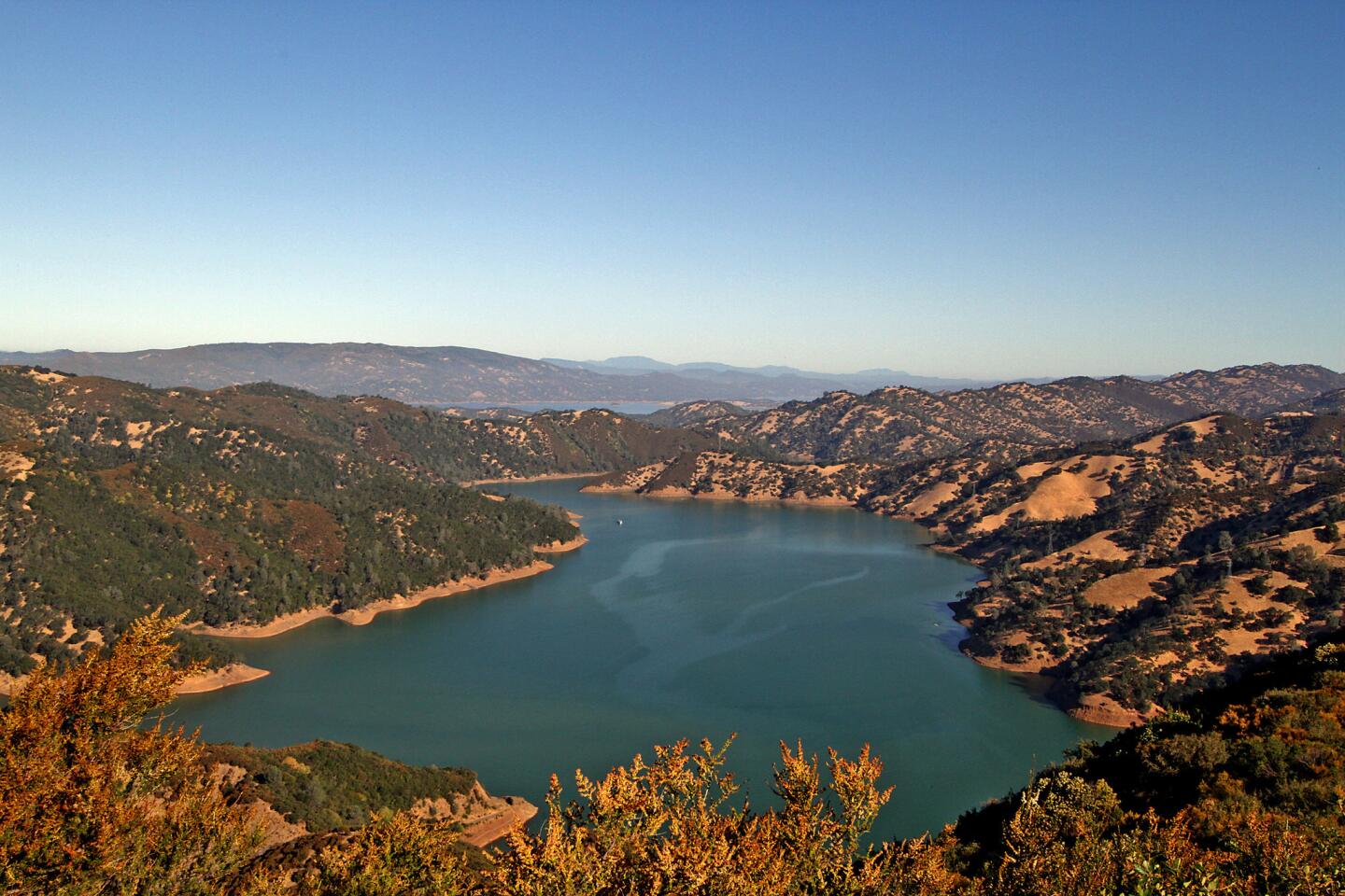
Lake Berryessa from atop the Cold Canyon-Blue Ridge Loop Trail in the Stebbins Cold Canyon Reserve. The lake is a popular spot for campers and boaters and is usually busy during the summer. (Tim Shisler / Los Angeles Times)
The 500,000 acres of unspoiled rivers and hilly oak woodlands await just east and north of Californias prime wine country, Napa Valley. (Tim Shisler / For The Times)
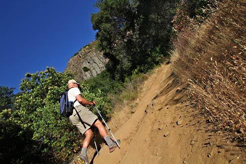
Bob Schneider, senior policy director with the environmental group Tuleyome, hikes along the Cold Canyon-Blue Ridge Loop trail in the Stebbins Cold Canyon Reserve. (Tim Shisler / For The Times)
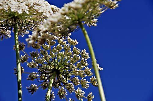
Wildflowers blow in the wind along Berryessa Knoxville road. During the early summer months, several varieties of wildflowers grow in the Berryessa Snow Mountain region. (Tim Shisler / For The Times)
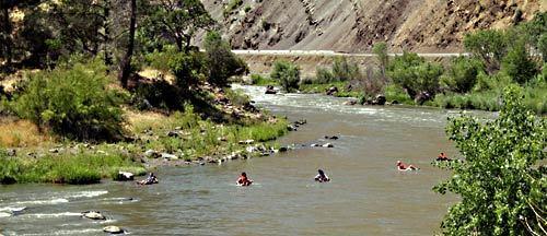
Inner-tubers enjoy a trip down Cache Creek during a self-guided class that runs through the Cache Creek Wilderness. Several local outfitters also offer boat rentals and supported trips through the canyon. (Tim Shisler / For The Times)
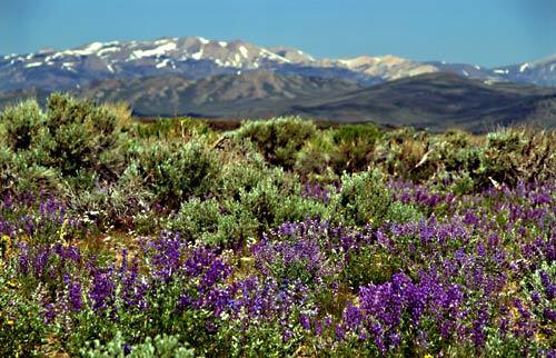
Purple lupine wildflowers blanket the Bodie Hills as the Sierra Nevada creates an impressive backdrop to the west. (Tim Shisler / For The Times)
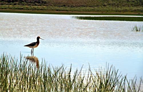
An American avocet stands in a shallow pond atop the Dry Lake Plateau, slightly off its normal migration course. The plateau’s ponds usually dry up by mid-summer because of extreme heat. (Tim Shisler / For The Times)
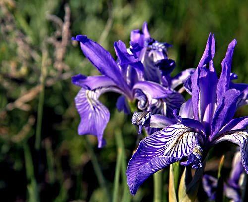
During early summer months, the Bodie Hills can be covered with wildflowers, including Western Blue Flag Irises. (Tim Shisler / For The Times)
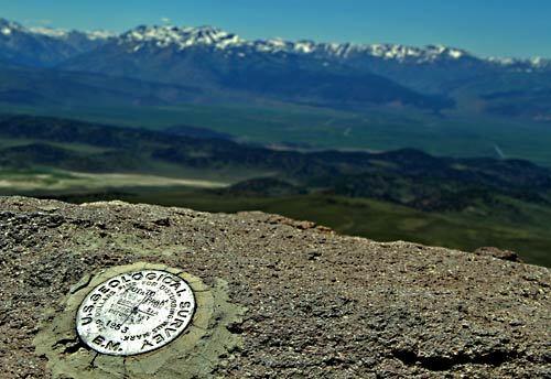
A 1953 U.S. Geological Survey marker in the area that soon could become a national monument. (Tim Shisler / For The Times)

Bodie State Historic Park is home to the West’s best-preserved ghost town, once home to 10,000 people. The park features several original buildings from the town of Bodie, including this building with an original window. (Tim Shisler / For The Times)
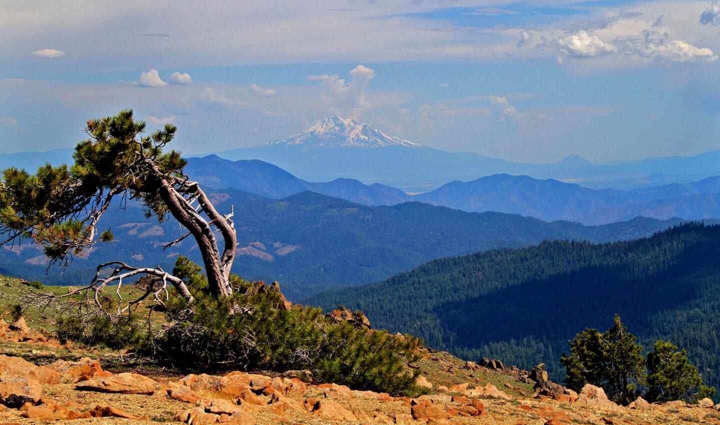
On top of Big Red Mountain, a red serpentine peak between two granite peaks located on the Siskiyou Crest, stands a lone Jeffery Pine with Mt. Shasta in the background. (Tim Shisler / Los Angeles Times)
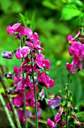
Though not native to the area, sweet pea flowers grow within the proposed monument region. (Tim Shisler / For The Times)
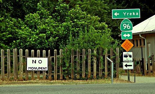
In Happy Camp, a group of locals has organized to protest the potential national monument status. While driving through the town and surrounding region, it’s not uncommon to see “no monument” signs on private land, in storefront windows and as bumper stickers. (Tim Shisler / For The Times)
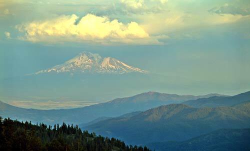
Along the Pacific Crest Trail and Siskiyou Crest, Mt. Shasta rises to the clouds in the southeast. (Tim Shisler / For The Times)
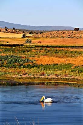
A bird enjoys a man-made pond within the Modoc Wildlife Refuge. The Modoc Plateau is an important region for migrating birds, and several mad-made ecosystems can be found across the Plateau. (Tim Shisler / For The Times)
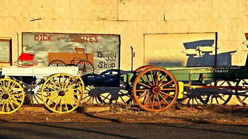
A buggy shop in the small town of Cedarville. (Tim Shisler / For The Times)
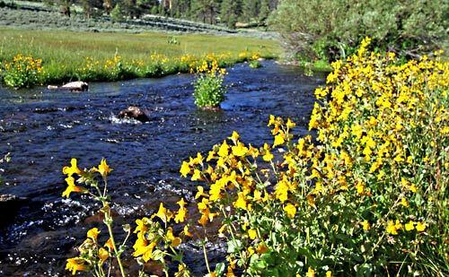
A stream cuts through a high-elevation meadow in Modoc National Forest. Even though the area may appear to be dry, streams and small creeks flow throughout the forest. (Tim Shisler / For The Times)
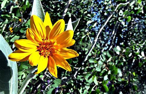
Wildflowers are common in the Warner Mountains during early summer months. (Tim Shisler / For The Times)
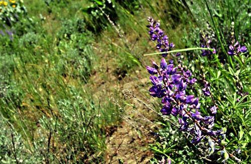
Some of the best wildflower viewing is in the Warner Mountains east of Alturas, home to the South Warner Wilderness, a popular backpacking and horse-packing destination. (Tim Shisler / For The Times)
Nov. 3, 2024
Oct. 31, 2024