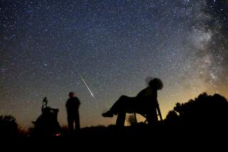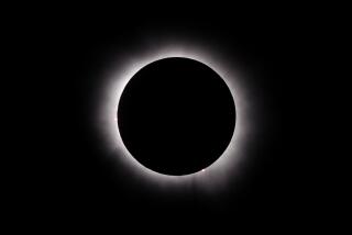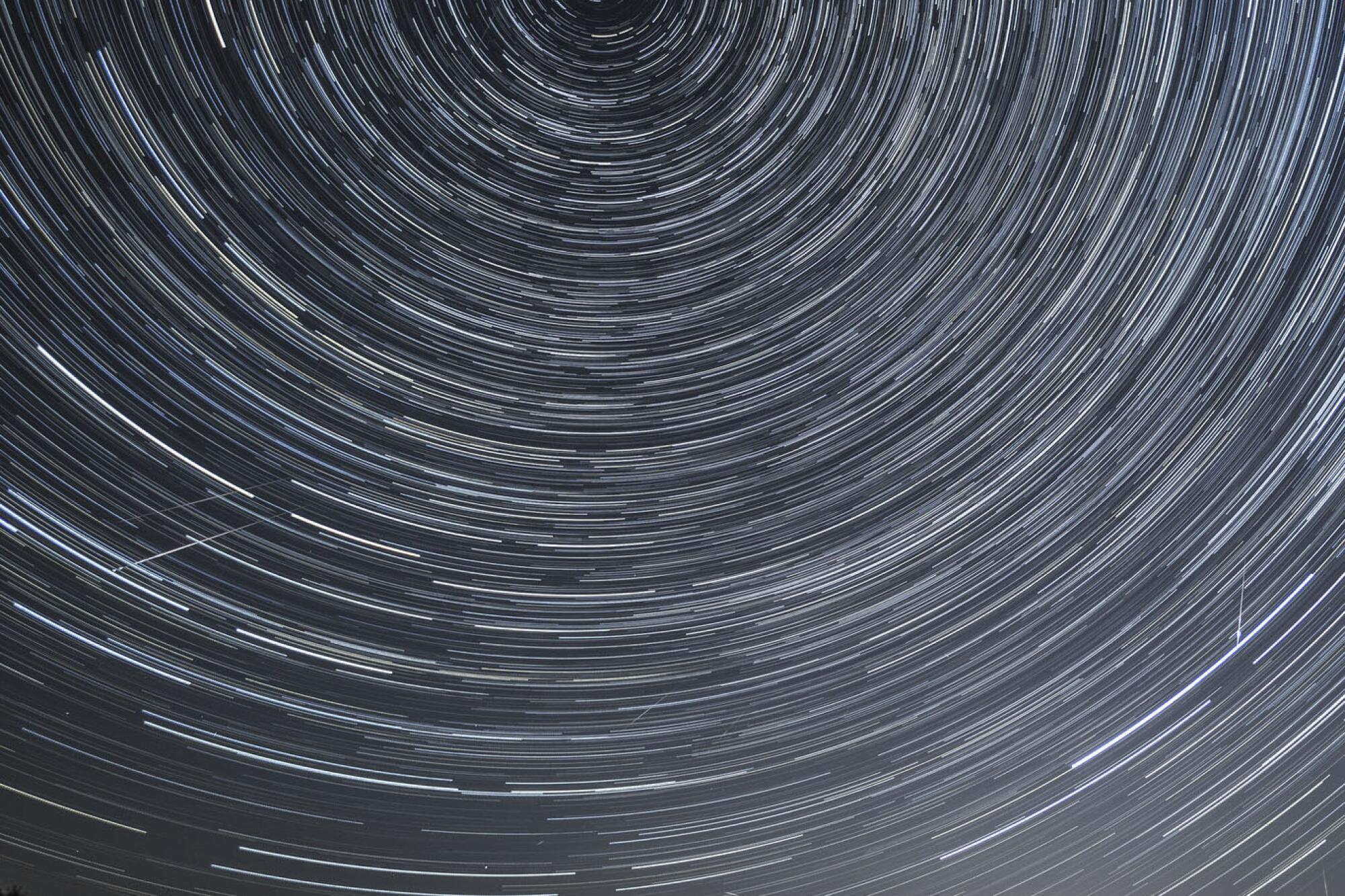
It’s no secret that Los Angeles is the perennial home of the brightest stars and glitziest productions, but the hottest summer show will be happening in the dark sky above. In late summer, the Hollywood spotlight shifts to a celestial premiere: the annual Perseid meteor shower.
You can expect to see up to 60 meteors per hour nightly. The stream of cosmic debris will peak midnight to 6 a.m. between Wednesday and Friday. Your best chance for a private screening? Find a dark spot far from L.A.’s light pollution and plan on staying up in the wee hours. (We skipped the deserts because they’re just too hot at this time of year.)
Roll out the red carpet, or at least a comfy blanket, for these 10 stargazing sites and enjoy the show, which lasts through Aug. 18.
Chula Vista Campground, Los Padres National Forest
Looking for the most heavenly stargazing spot within 100 miles of the City of Angels? Head straight for Chula Vista Campground at 8,300 feet in the Los Padres National Forest near Mt. Pinos. The pretty views shine brightest at night. It’s no wonder amateur astronomers set up their telescopes in the parking lot under new moons — a divine spot to revel in the summer Perseids.
The primitive campground with 12 first-come, first-served sites lives up to its name (chula vista means “pretty view” in Spanish). Overnighters can pitch a tent under groves of Jeffrey pines and enjoy the chatter of resident chipmunks and Nuttall’s woodpeckers (sites 10, 11, 12 provide a particularly peaceful plot overlooking the meadow). You can also take a two-mile hike to the 8,847-foot peak of Mt. Pinos, the highest peak in Ventura County, for a low-effort, high-reward trek that offers sprawling views of the San Joaquin Valley.
How to get there: Take Frazier Mountain Park Road off the 5 Freeway and drive to the end of the road.
Parking: Paved lot, Adventure Pass required ($5 a day, $30 a year). Dog-friendly.
Ojai
“You can’t have a light without a dark to stick it in.” Though singer Arlo Guthrie may have been speaking of the human condition, the picturesque community of Ojai recently implemented legislation that mirrors the thought. The name derives from the Ventureño Chumash word for “moon,” and it’s the closest city to Los Angeles with a dark-sky ordinance.
Whether you’re looking for ocean views or desert landscapes or soaring mountain peaks, Los Angeles offers miles upon miles of strikingly different trails.
The law is aimed at reducing light pollution and energy bills and, ultimately, protecting those beautiful night sky views. This makes it the perfect accessible stargazing getaway for those who prefer to spend the early evening drinking local wine (maybe at Topa Mountain Winery), perusing old novels (Bart’s Books) and exploring the boutique shops. Don’t forget to catch the famous “pink moment” along the Topa Topa bluffs at sunset. If you’re staying in town, grab a picnic table at Libbey Park (until 11 p.m.) or head a few miles east to Dennison Park, host to a charming campground ($20 per site) and darker skies. If you prefer to be more remote, head up the Maricopa Highway for a turnout in the Los Padres, including eight miles to the serene Wheeler Gorge Campground ($25 per night, 59 reserved sites, nine walk-in). Make it a star-cation!
How to get there: From the 101 Freeway, take the California 33 north and 150 east on Ojai Avenue, 3.5 miles from the town center.
Parking: Street park in a dark spot. Dog-friendly.
Figueroa Campground, Los Padres National Forest
Stunning mountain views at one of the most accessible peaks in Santa Barbara County makes for a prime stargazing spot — with wineries nearby — at Figueroa Campground ($20 a night, 25 reserved sites, nine walk-in) in the western Los Padres National Forest.
It’s just 15 miles from civilization (and a namesake brewery in Los Olivos) but provides perhaps the best night sky scenery in the region. The campground at 3,500 feet among oaks, pines, and red manzanita may be too forested for your star party. That’s OK; head to the south end of the sites to find an open ridge for optimal viewing.
Also, you can take the four-mile out-and-back hike to the 4,534-foot summit (often called Figueroa Lookout) by way of the Forest Service road just west of the campground for panoramic views of the San Rafael Wilderness below and the pristine night sky above. For a shorter walk, Pino Alto Day Use Area is just 1.5 miles up the path and offers another good stargazing spot. Need even more star power? Consider doing the four-mile Lover’s Loop hike. And check out the charming towns of Solvang, Santa Ynez and Los Olivos on your way out or in.
How to get there: From Los Olivos, take Figueroa Mountain Road north for 13.3 miles.
Parking: Paved lot, Adventure Pass required ($5 a day, $30 a year). Dog-friendly.
Crystal Lake Recreation Area and Campground, Angeles National Forest
Need a little time to reflect? Head to Crystal Lake, about 50 miles northeast of L.A. Follow signs for parking for the lake and take a short hike down (about a quarter-mile down paved road and stairs) to find the lake, a prime nighttime spot to watch the stars reflect on the water (no swimming) below the granite crags. There are also pull-offs for stargazing along California 39, including the San Gabriel Reservoir that’s 15 miles to the south.
If you want to stay the night, head down the road to the Crystal Lake Recreation Area Campground, home to an impressive 120 first-come, first-served sites ($12 a night or $10 with an Adventure Pass) located amid Jeffrey pines and oaks at 5,600 feet. Find the amphitheater for a nice seat during your stargazing visit. During the day, grab a bite at the Crystal Lake Cafe (breakfast burrito or Frito chili pie) and enjoy day treks to Mt. Hawkins and other peaks.
How to get there: Take the 210 Freeway to California 39 and drive north for 24 miles. Turn right onto Crystal Lake Road and follow signs for the lake and campground.
Parking: Paved lot, Adventure Pass required ($5 a day, $30 a year). Dog-friendly.
Red Rock Canyon State Park
What better place to watch celestial fiery rocks burn up in our atmosphere than a terrestrial canyon known for its own fiery rocks? Enter Red Rock Canyon State Park, a magical desert landscape situated between the Mojave and Sierra Nevada.
These trips will take you to priceless places, and our pro tips will help you dig deeper.
Known for its geological gems and colorful canyons, the 27,000-acre space is home to arguably the darkest skies within two hours of the bright urban jungle of downtown Los Angeles. On a clear day with no moon, visitors may be able to see the Andromeda galaxy with the naked eye.
There’s also a campground ($25 a night, 50 primitive sites, first-come, first-served) at 2,600 feet nestled against the vibrant cliffs, for those who don’t want to head home (and why would you?). In addition to the beautiful buttes, hypnotizing hoodoos and other riveting rock formations, the park has some interesting history too. Once home to Kawaiisu Native Americans, it’s been the setting of a 19th century mining operation and dramatic film backdrops, including the TV show “Lost In Space.” For day hikes, Nightmare Gulch Loop (moderate) and Ricardo Campground South Loop (beginner) trails are recommended. Look for roadrunners in these badlands too.
How to get there: Take the 5 Freeway and California 14 north. Turn left onto Abbott Drive and follow signs for the park.
Parking: Paved lot, $6 a day. Dogs allowed at campgrounds but not on trails.
Castro Crest, Santa Monica Mountains National Recreation Area
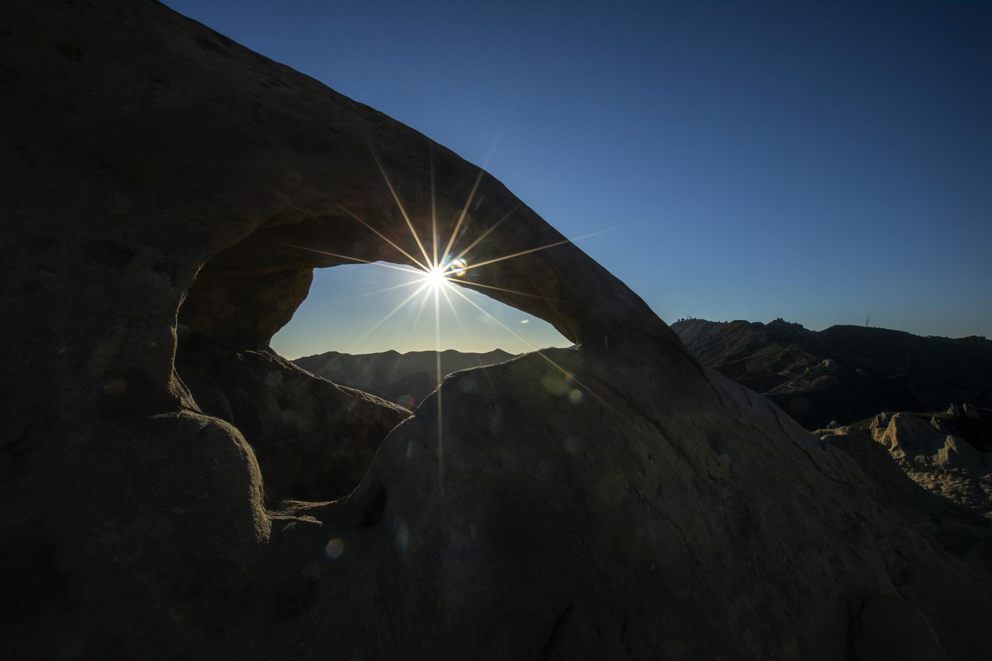
Beat the heat, best the crest and eye the sky at the perfect site to see the night lights. Head to the Corral Canyon trailhead at 3,000 feet to experience a portion of the 65-mile Backbone Trail that traverses the massive Santa Monica Mountains Recreation Area. Park in the dirt lot (as good a place as any to check out the stars) and head east on the Santa Monica spine for about 0.5 miles to find the best spot along Castro Crest, a series of Zion-type sandstone slabs that provide the perfect geological playground.
The rocks serve as comfortable seating spots to watch the Perseids in the night sky. Come early to catch the sunset over Malibu and the Pacific; the golden hour also adds a particularly beautiful hue to the wind-formed craggy caves and rock outcroppings that dot the crest. If you want extra mileage, head west on the Backbone Trail towards Latigo Canyon or east towards Malibu Creek State Park.
How to get there: From Pacific Coast Highway, take Corral Canyon Road for 12 miles (north) to the Corral Canyon trailhead.
Parking: Dirt lot, free. Dog-friendly.
Leo Carrillo State Park, Santa Monica Mountains National Recreation Area
Find the brightest star-studded cast in the dark night sky above Leo Carrillo State Park, perhaps the city’s best local beach with limited light pollution. Due to its semi-secluded location in the Santa Monica Mountain National Recreation Area, the beautiful beach (named after the actor and activist) is an A-list spot to watch the night sky.
Set up before sunset to watch the tangerine blanket drape over the Pacific and have a chance to explore the rocky tide pools and sea caves. There is a campground for overnighters (135 reservable sites, $45 a night) and a backcountry trail (Camp 13 Trail at the eastern edge of campsite) that takes you 600 feet up for panoramic coastal vistas and an additional secluded spot to get starstruck. You can also drive up the campground-adjacent Mulholland Highway, which features a few pullouts for those that prefer a private drive-in star-watching experience.
How to get there: Take Pacific Coast Highway north (about 26 miles from the Santa Monica Pier).
Parking: Paved lot closes at 10 p.m.; $12; and street parking on Pacific Coast Highway. Dogs welcome in the day-use area, campgrounds and north of lifeguard tower 3 but not on trails.
George’s Gap, Angeles National Forest
The Angeles Crest Highway has many pullouts as it winds through the Angeles National Forest. Pull off, look up and your star party begins. Drive on to the lot at George’s Gap, eight miles north of the 210 Freeway, stands at 3,600 feet. Enjoy the fireballs from the dirt lot in this remote spot. By day, you can take the tough scramble up Hoyt Mountain.
How to get there: From the 210 Freeway, take the Angeles Crest Highway (2) north a little over eight miles.
Parking: Dirt lot, free. Dog-friendly.
Rancho Palos Verdes Overlook
Make your next star-seeking adventure in Rancho Palos Verdes at an accessible vista point (labeled Scenic Outlook - Vistapoint on Google Maps). It’s just down the street from Robert E. Ryan Community Park, the first incorporated green space in the city.
This small, unassuming pullout serves as a panoramic daytime coastal view over the peninsula and is one of the only public stargazing spots available for late-night Perseids viewing. Rancho Palos Verdes has relatively lower light pollution compared to other coastal L.A. cities. However, the stars must align — and not be blocked by the marine layer that often shrouds the picturesque town. Come early for sunset vistas here and at Del Cerro Park, which often has official stargazing parties but otherwise closes one hour after sunset.
Get The Wild newsletter.
The essential weekly guide to enjoying the outdoors in Southern California. Insider tips on the best of our beaches, trails, parks, deserts, forests and mountains.
You may occasionally receive promotional content from the Los Angeles Times.
How to get there: The overlook is just west of the intersection of Hawthorne Boulevard and Vallon Drive.
Parking: Small, paved pullout lot, free. Dog-friendly.
Eaton Saddle Trailhead, Angeles National Forest
The Mt. Wilson Observatory in the forest north of L.A. offers public ticketed nights for stargazing. The next opportunity is Friday. But there’s an easier way to watch the night sky before then. Head to the Eaton Saddle Trailhead just 2.75 miles west of the observatory grounds. Here you can enjoy a sky full of stars at 5,100 feet with the surrounding peaks helping to block out city lights.
You can also visit two peaks on an easy 3.5-mile out-and-back trail. Mt. Disappointment makes a good viewing spot because the peak is blocked from city views by its hulking neighbor, San Gabriel Peak, which offers views of the observatory perched above the San Gabriel Valley.
How to get there: Drive 14 miles up the Angeles Crest Highway (2) from the 210 Freeway. Turn right onto Mt. Wilson/Red Box Road for 2.3 miles to the Eaton Saddle trailhead.
Parking: Two small dirt lots, free. Dog-friendly.
More to Read
Sign up for The Wild
We’ll help you find the best places to hike, bike and run, as well as the perfect silent spots for meditation and yoga.
You may occasionally receive promotional content from the Los Angeles Times.
