Q&A: A La Niña has formed. It may fuel drought conditions in the Southwestern U.S.

- Share via
A La Niña climate pattern — which often means a busier Atlantic hurricane season, a drier Southwest and perhaps a more fire-prone California — has appeared in the Pacific Ocean.
The National Oceanic and Atmospheric Administration announced the La Niña’s formation on Thursday after meteorologists had watched it brew for months. It’s the cooler flip side of the better known El Niño, which tends to bring increased rainfall to the Golden State.
A natural cooling of certain parts of the equatorial Pacific, La Niña sets in motion a series of changes to the world’s weather that can last months, even years. So far, this one is fairly weak. It’s projected to last through at least February but may not hang around for two or three years, as others have done in the past, said Mike Halpert, deputy director of the NOAA Climate Prediction Center.
Toward a more sustainable California
Get Boiling Point, our newsletter exploring climate change, energy and the environment, and become part of the conversation — and the solution.
You may occasionally receive promotional content from the Los Angeles Times.
The changes that happen during La Niñas and El Niños — which along with neutral conditions are called the El Niño Southern Oscillation, or ENSO — aren’t sure things, meteorologists say. Different sizes and types trigger varying effects, and some years the usual impacts just don’t show up. It’s more an increased tendency than an environmental edict.
Still, when it comes to seasonal forecasts in places such as California, if meteorologists can get only one piece of information, they’d want it to be the ENSO status, said Stanford University climate scientist Noah Diffenbaugh.
Here’s a closer look at what this La Niña may have in store.
How does La Niña affect U.S. weather in general?
The jet stream that steers our daily weather shifts a bit in the winter. That generally means a drier winter in the South and Southwest from coast to coast. It usually means things are a bit warmer in the South, too. However, in the Pacific Northwest and the Ohio Valley things get wetter in the winter, and the Northern tier becomes colder.
What about the drought in the West?
Drought conditions are already pretty bad in west Texas, Arizona, Utah and Colorado, Halpert said. This could make things worse.
And California has “a tendency to have dry conditions in La Niña years,” Diffenbaugh said.
What does this mean for wildfires?
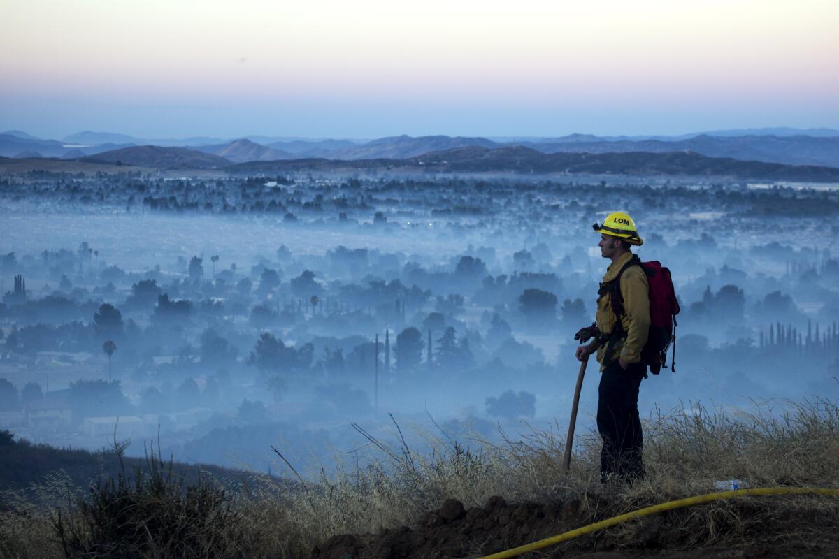
“La Niña is not a good sign for the wildfire outlook,” Diffenbaugh said. But he added that it’s mostly a potential bad sign for next year’s wildfire season because it makes California’s winter season drier, setting the stage for dry conditions when fires start in 2021.
An outbreak of thunderstorms generated lightning that touched off dozens of fires in Northern California from Aug. 15-18.
Meteorologists don’t quite know enough about what La Niña does in the fall to say what it could mean for the record-bad California wildfire season going on now, Diffenbaugh said. For the next few months, he said, what matters more is when the fall rains begin.
What does La Niña mean for the Atlantic hurricane season?
This is one of the clearest connections that meteorologists follow. A La Niña usually means a more active season with more and perhaps stronger storms. An El Niño, by contrast, means fewer, weaker storms.
That’s because one of the key ingredients for storm formation and strengthening is what’s happening to the winds near the tops of storms, said University of Miami hurricane researcher Brian McNoldy. An El Niño means more strong crosswinds that can decapitate storms, but a La Niña means fewer, allowing storms to grow.
Thursday is the historical peak of hurricane season and the Atlantic is incredibly active. In addition to Tropical Storms Paulette and Rene, which set records for the earliest 16th and 17th named storms, forecasters are monitoring four other disturbances — two near the United States — that could develop into named storms in the next five days.
What about winter snow possibilities?
La Niña has a tendency to shift snowstorms more northerly in winter, Halpert said. Places such as the mid-Atlantic often do not get blockbuster snowstorms in La Niña winters.
Overall, winter should be cooler than last year, but “last winter was so warm it would be hard not to be cooler,” Halpert said.
Which is worse, La Niña or El Niño?
That really depends on where you are. Some areas do better in La Niña conditions, some are better with an El Niño, and others do best in a neutral ENSO, said Bruce McCarl, an agricultural economist at Texas A&M University who studies ENSO effects. Places such as Texas and the Southwest do much worse in La Niñas, McCarl said, pointing to a 2011 La Niña when 40% of the cotton crop in the high plains was too small to be harvested.
The world is getting closer to passing a temperature limit set by global leaders five years ago and may exceed it in the next decade, a new U.N. report says.
A 1999 study by McCarl found that, in general, La Niñas cause $2.2 billion to $6.5 billion in agricultural damage — far more than El Niños. A neutral ENSO is best for agriculture, the study found.
What about La Niña impacts outside the continental United States?
Western Canada, southern Alaska, Japan, the Korean Peninsula, southeastern Brazil and western Africa all tend to be cooler. East central Africa and southeastern China tend to be drier. Northern Australia and much of Southeast Asia tends to be wetter, along with northeastern South America. And southeast Africa tends to be wetter and cooler.
When were the last La Niña and El Niño?
The last La Niña went from the fall of 2017 to early spring in 2018. Before that, there was a brief La Niña at the end of 2016, coming on the heels of a super-sized El Niño.
This year started with a brief, weak El Niño.
Why is it called a La Niña anyway?
La Niña is Spanish for “little girl,” and El Niño means “little boy,” a reference to the Christ child. That’s because the first El Niño was characterized and identified around Christmas by fishermen in South America.


